Heavy Rain, Couple Strong Storms Possible Across Southern IN Tonight…

Scattered showers will spread across central Indiana at times through the day. Most of this rain will be light in nature through the afternoon hours, but a couple of moderate showers are also possible.

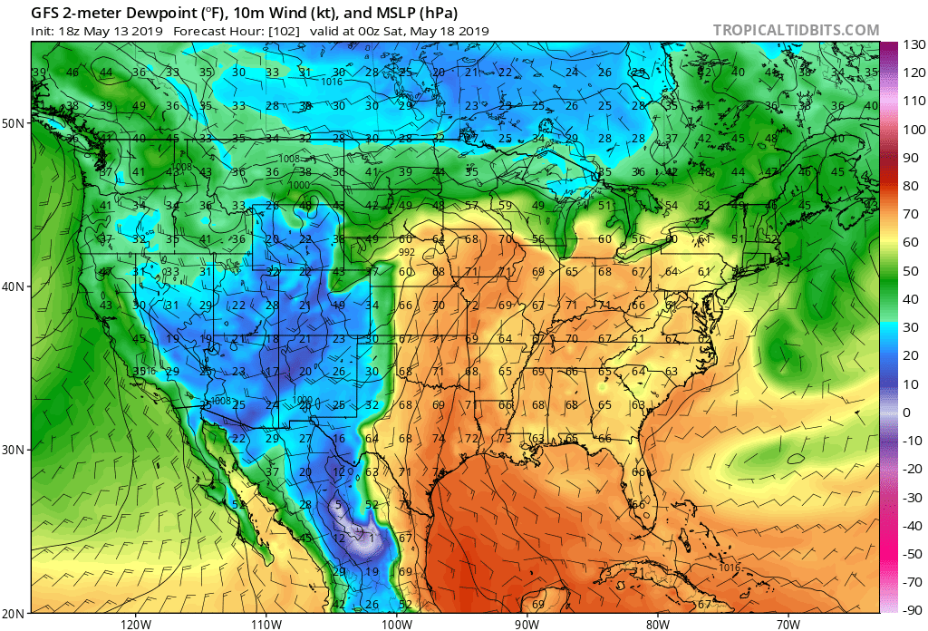
A surface low will track east across the lower Ohio Valley tonight and this will result in more concentrated heavy rain falling across the southern portion of the state this evening into early Monday morning. This is a bit further south than model guidance suggested yesterday. Additionally, a couple of strong thunderstorms are also possible tonight across far southern Indiana.

It wouldn’t surprise us to see the Storm Prediction Center (SPC) include portions of southern Indiana in a ‘Marginal’ or ‘Slight’ risk of severe weather tonight with future updates.

With the more southern track now expected from this storm system, the corridor of .50″ to 1″ rainfall totals will settle across the southern portions of Indiana, with 0.10″ to 0.25″ expected for central Indiana on average.

Rain will come to an end for all of the state by mid to late morning Monday with dry conditions returning Monday evening into the middle of the week, thanks to high pressure.

Dry and pleasant conditions will remain in place through the daytime hours Thursday before a storm system approaches Thursday night into Friday. The gusty southwesterly air flow in advance of this storm will help pull warmer conditions northeast into the Ohio Valley. Highs between 65-70 are on tap by Thursday afternoon. Unsettled weather is anticipated to remain through next weekend along with progressively colder conditions.

More On The Late March-Early April Pattern And Reviewing The NEW JMA Weeklies…

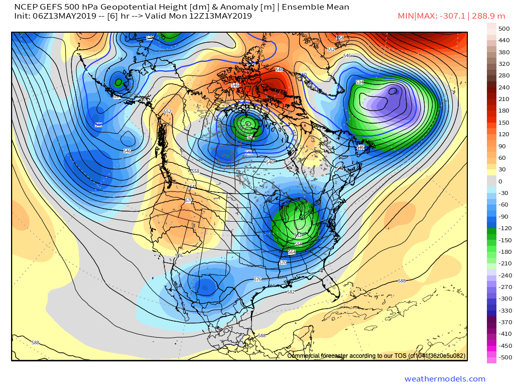
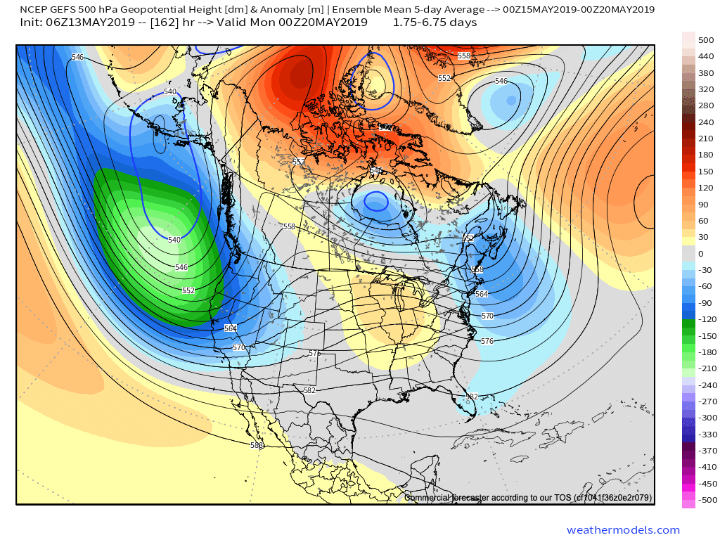
As we look ahead, a persistent western Canada/ Alaska ridge continues to show up on the medium to long range data. The downstream implications are for cooler than normal temperatures, overall, across the eastern and central portions of the country into early April.

Upper air pattern- Days 4-9
Surface temperature anomalies- Days 4-9
Upper air pattern- Days 9-14
Surface temperature anomalies- Days 9-14

Given the time of the year (and pattern), cool won’t rule the entire period. It’s just that the cold will “out do” the transient warmth in between storm systems over the next couple of weeks.

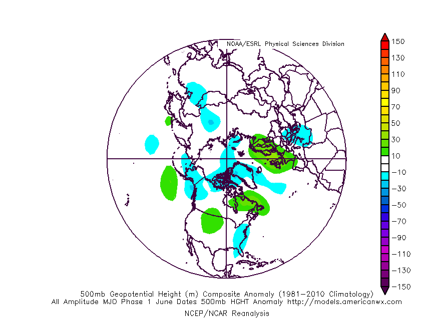
When we look at the teleconnections (combo of negative EPO and neutral to slightly positive PNA is ruling the day for now), they support the lingering chill into early-April.

However, as we turn the page from early-April to mid-April, the idea here is that an eastern ridge will begin to expand west with more “umph” and eventually lead to warmth overwhelming the pattern. We aren’t budging from the original idea of a warmer than normal April by month’s end. It sure appears as if the NEW JMA Weeklies are catching onto this idea.

Weeks 3-4 (mid April) forecast upper air pattern.

From a precipitation perspective, the majority of medium and long range model data does show a return of wetter times (relative to normal) as we move into April, including an active storm track. The beginning of this overall shift in the pattern back towards wetter than normal conditions will begin early next week.

We’ll recap our latest short-term thinking, including an update on the NEW European Weeklies that will arrive this evening later tonight in a video update.

In the meantime, make it a fantastic Thursday- and happy tip off to March Madness!

All-Access Video: Showers Arrive Later Today; Still Expecting A Beautiful Weekend And Looking Ahead To More Active Times…

A weak system will spread showers across central Indiana later today. We take a look at timing and amounts, along with spending time going over the long range pattern into…

You must be logged in to view this content. Click Here to become a member of IndyWX.com for full access.  Already a member of IndyWx.com All-Access?  Log-in here.