Category: Thanksgiving

Note On Saturday’s Snow Threat…

Boy, this snow season has gotten off to a rollicking start. It’s been a while since we’ve had to deal with multiple legitimate winter threats prior to Thanksgiving, but that’s the case this year. (December is also looking quite active from a wintry precipitation perspective).

As for Saturday’s event, confidence is too low to issue an initial snow “zone” map. The overall idea remains here that the best shot of accumulating wet snow will likely fall from north-central parts of the state into the northern half of Ohio, but the nature of the event will likely result in some “haves and have nots.”

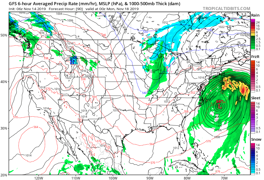
Note the upper low is poised to track along the I-70 corridor, per this evening’s GFS model run. This looks reasonable to us.

With only marginally cold air in place, this is the kind of setup that can help manufacture air cold enough to result in a “thump” of wet snow for portions of the region- especially if heavier precipitation rates are involved. This is also the kind of event that would likely lead to banding features as opposed to a more “uniform” snow shield (hence the “have and have nots” that will likely occur).

At the end of the day, an accumulating wet snow event is most certainly still on the table for portions of central Indiana, but we need to factor in a couple of additional model runs before publishing our initial snow zone map.

More overnight or early Friday morning…

Permanent link to this article: https://indywx.com/note-on-saturdays-snow-threat/

VIDEO: “Thump” Of Heavy, Wet Snow A Good Bet For Portions Of The Area This Weekend; Looking Ahead To Thanksgiving Week…

You must be logged in to view this content. Click Here to become a member of IndyWX.com for full access.  Already a member of IndyWx.com All-Access?  Log-in here.

Permanent link to this article: https://indywx.com/video-thump-of-heavy-wet-snow-a-good-bet-for-portions-of-the-area-this-weekend-looking-ahead-to-thanksgiving-week/

VIDEO: Updated Short Term And Longer Range Thoughts Into Early December…

You must be logged in to view this content. Click Here to become a member of IndyWX.com for full access.  Already a member of IndyWx.com All-Access?  Log-in here.

Permanent link to this article: https://indywx.com/video-updated-short-term-and-longer-range-thoughts-into-early-december/

VIDEO: Week Ahead Outlook; Greenland Block Leads To An “Interesting” Pattern Around Thanksgiving…

You must be logged in to view this content. Click Here to become a member of IndyWX.com for full access.  Already a member of IndyWx.com All-Access?  Log-in here.

Permanent link to this article: https://indywx.com/video-week-ahead-outlook-greenland-block-leads-to-an-interesting-pattern-around-thanksgiving/

What A Start To November; Looking Ahead…

Indianapolis is running a whopping 11.7° below average through the 1st (13) days of the month. We’ve broken records for cold and snow so far, including Monday’s snow at 2.8″, record lows (8° on Tuesday and 9° low on Wednesday, and record low maximums (21° high on Tuesday).

Shades of November ’14 come to mind with the way this month has started:

As we look ahead, temperatures are expected to remain below, to significantly below, average through the 2nd half of the month overall.

From a storm standpoint, we’re only expecting a couple of fairly weak systems over the upcoming week. A disturbance will scoot across central Indiana Sunday with a few light showers and again Tuesday. Neither is expected to provide significant moisture.

Things begin to potentially turn a little more “exciting” as we grow closer to Thanksgiving. The forecast upper air pattern is one that has “mischief” written all over it and will likely require more attention as time draws closer. More on this and some updated data (including the European and JMA Weeklies) later this evening with our long range video update.

Permanent link to this article: https://indywx.com/what-a-start-to-november-looking-ahead/