Cold Gives Way To Milder Air And Rain…
You must be logged in to view this content. Click Here to become a member of IndyWX.com for full access. Already a member of IndyWx.com All-Access? Log-in here.
You must be logged in to view this content. Click Here to become a member of IndyWX.com for full access. Already a member of IndyWx.com All-Access? Log-in here.
Showers and embedded thunder will rumble across the state this evening before colder air allows precipitation to end as snow showers Monday morning. The same storm system will deliver a…
You must be logged in to view this content. Click Here to become a member of IndyWX.com for full access. Already a member of IndyWx.com All-Access? Log-in here.
You must be logged in to view this content. Click Here to become a member of IndyWX.com for full access. Already a member of IndyWx.com All-Access? Log-in here.
You must be logged in to view this content. Click Here to become a member of IndyWX.com for full access. Already a member of IndyWx.com All-Access? Log-in here.
The upcoming work week will feature a busy time of things as the fight between fall and winter begin. Initially, it’ll be the warmer side of things that will promote the potential of strong and gusty storms Monday night into Tuesday, but by mid and late week, drastically colder conditions will lead to the chance of scattered snow showers…
A couple of showers and gusty southerly winds will help close out the weekend, but it’s the storm system that moves in Monday night and Tuesday that has more of our attention. Surface low pressure will move off the lee of the Rockies and on into MO and IL Tuesday- strengthening along the way and eventually tracking through the Great Lakes Tuesday evening. Not only will this deliver another round of hefty rains across central parts of the state, but we may have to deal with a couple of strong to severe storms (wind being the biggest concern).
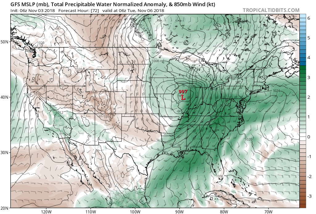
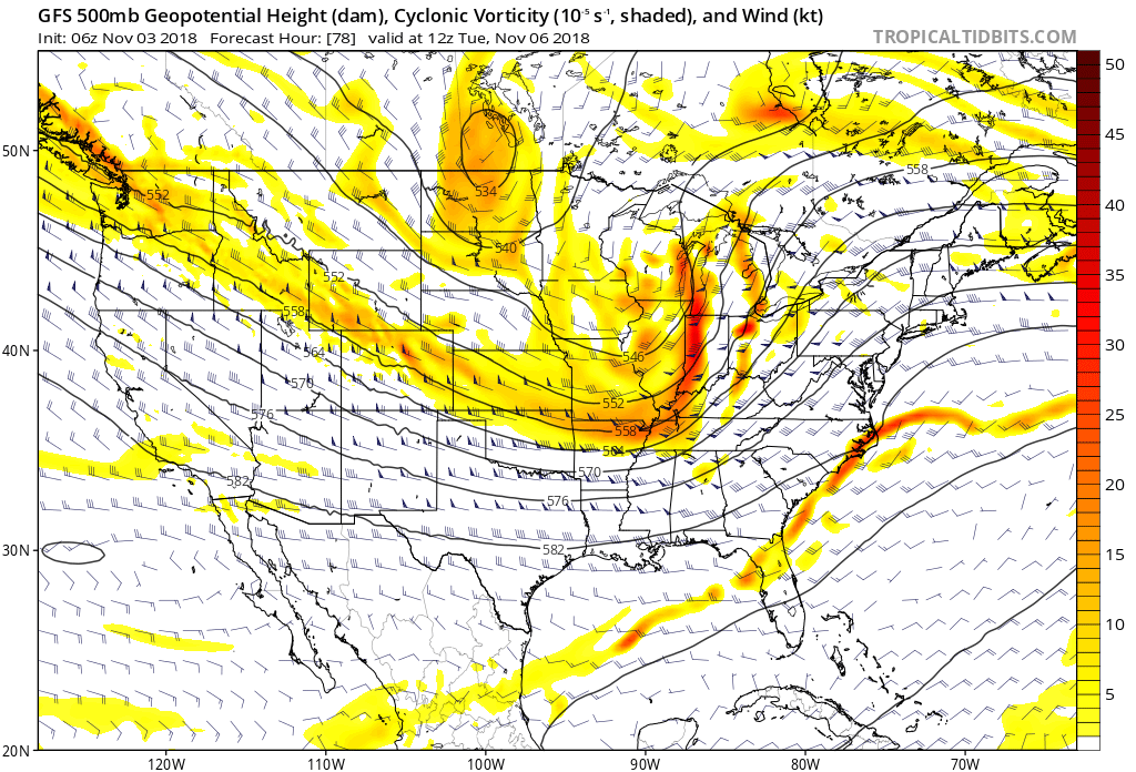 Additional rainfall totals of 1″ to 2″ with locally heavier amounts are a good bet in that Monday night – Tuesday time frame.
 While we’ll certainly turn colder behind this storm system, the true early season push of arctic air will wait a couple of days to arrive- Thursday afternoon into Friday. Not only will this be the coldest air of the season (lower-middle 20s Friday morning and likely colder next Saturday), but the first flakes of the season are also likely to fly across central Indiana to wrap up the work week. Furthermore, Snow Belt communities can expect the first “shoveable” snow of the season. Giddy up!
 Don’t look now, but more “fun and games” await the following week…