It’s hard to believe we’re approaching the July 4th holiday already. Where is the summer going?! I remember back in my football days, once past the 4th, summer was over for me as two-a-days began the following week. Come late July, we would beg for the fall semester of school to begin! 🙂
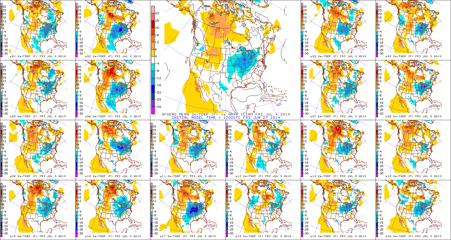
If you’re like me, the upcoming weather pattern in the days ahead will certainly have you craving fall! Lows in outlying areas will dip into the upper 40s come Friday morning (not bad for the 4th of July, huh)? Anyway, here are some things that have the attention of IndyWx.com in the days (and weeks) ahead…

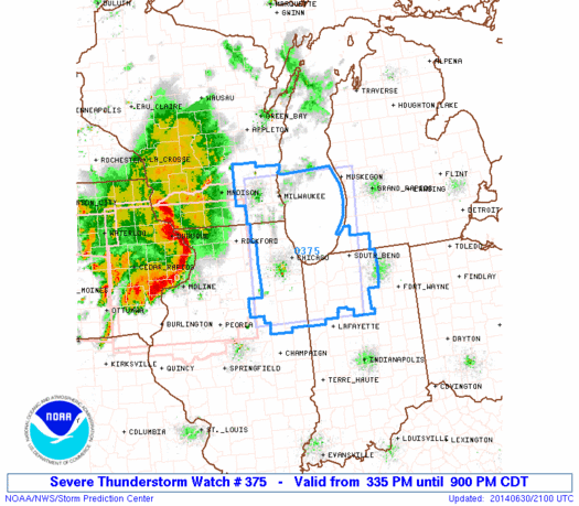
1.) Trending Cooler…Note the cooler air in the upper Mid West this evening, including many already in the 50s and 60s. That cooler air will head south with time Wednesday into Thursday. We’ll note the cooler temperatures tomorrow as highs only reach the middle to upper 70s. The cooler than normal temperatures will really settle into the region tomorrow night and Thursday, continuing for the big 4th of July holiday. Some outlying communities may fall into the upper 40s Friday morning!

2.) Arthur…What’s now Tropical Storm Arthur will likely continue to strengthen in the days ahead and potentially come too close for comfort to the NC Outer Banks around the upcoming holiday. By the time Arthur is along (or just offshore) the NC coastline, he may be packing hurricane force winds. Certainly, plenty of rough seas are to be had up and down the mid Atlantic coast into the Northeast coastal waters for the upcoming long holiday weekend.

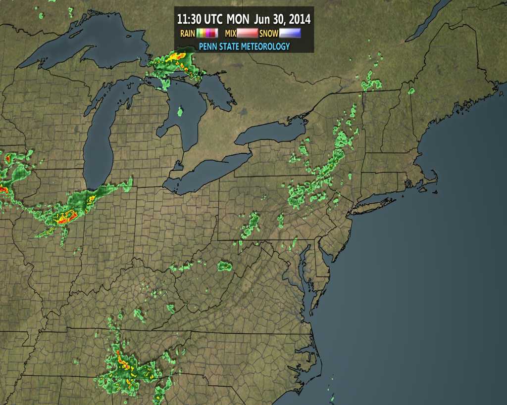
3.) Continued Active Pattern…Though we’ll enjoy some much needed dry weather as we cool things down, an active time of things will return early next week, including multiple storm chances.
Additionally, we don’t forecast any sort of significant heat for the foreseeable future. In fact, we may “enjoy” another round of unseasonably cool air by the middle to latter parts of next week, as projected by the ESRL/PSD upper air pattern above.

4.) Thoughts Turning To Fall & Winter…Part of what we provide here are thoughts on the seasonal and long range, including a variety of model data that may argue for, and against, our seasonal ideas (have to keep an open mind and be sure not to “model hug” any sort of data set). The latest JAMSTEC ideas have to make those eastern winter lovers smile…
As we transition from fall to winter, the model suggests a weak, to borderline moderate, El Nino progresses into a Modoki ENSO event (read more HERE about the differences between an El Nino event and an El Nino Modoki event). Combine this with the warmer than normal north-central and northeastern PAC waters and the players are, at least, on the field for a colder than average east- particularly southeast.

Pure speculation at this point, and it should be pointed out that this model struggled on the cold winter last year at this time. Instead of the cold winter we experienced, it’s 2013 June forecast for December-February 2013-2014 was a warm one. We’ll keep a close eye on the trends through late summer into fall.
An important note- as opposed to looking into the flip-flopping forecast temperature regime at this juncture, focus more on the projected oceanic patterns. Time will tell, but even though we’re only into early July, know that we continue to formulate some early thoughts and ideas on the upcoming fall and winter…
Have a relaxing night and God Bless!


