NEW JMA Weeklies Shed Light On The Long Range…
Changes are brewing in the longer range and the latest JMA Weeklies illustrate this nicely.
Week 1
No changes are needed to the expected significant heat wave to open the month of July. Heat and humidity will reach excessive levels at times- heat indices of 100° to 110° at times. While isolated coverage of storms are possible a few of the days (primarily afternoon and evening variety), it’s a dry pattern, overall.
 Week 2
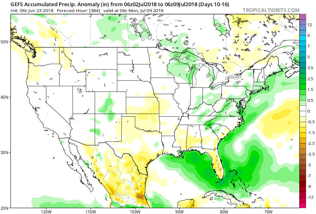
The pattern is in a transitional period during this time frame as the upper ridge retrogrades west. While still warm, the hottest conditions will shift west under the upper ridge. The other take-away? An active northwest flow returns with an emerging “ring of fire” pattern.
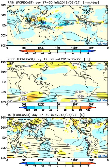
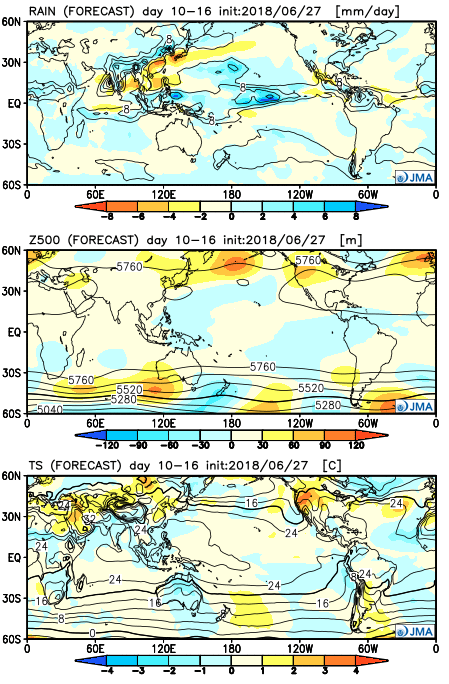 Weeks 3-4
While perhaps a bit quick, the model reverses things entirely by the Weeks 3-4 time frame. There’s no denying we think the hottest period of the summer will be behind us by mid-July, and while this type pattern shown below is where we think the dominant overall pattern is heading for the second half of summer, the model may be a bit aggressive here. Regardless, the Weeks 3-4 time frame are expected to not only reverse, but turn cooler than average over the Great Lakes region.
 With the hot dome centered over the Ohio Valley, it’ll really help to limit shower and thunderstorm chances. That’s not to say isolated coverage of cooling thunderstorms won’t occur on occasion during the afternoon and evening, but widespread rain of significance won’t be around during the period. Thankfully, the recent wet pattern and additional storm complexes coming in Tuesday into Wednesday have and will help surface moisture levels. Had we not seen the recent wet shift over the past couple weeks, you could easily tack on an additional 3° to 5°…
 Sunshine will increase for the second half of the weekend and highs will respond- mid 80s after a refreshing start Sunday morning.
 While it’ll certainly turn more humid through midweek, the rain and storms will keep temperatures at seasonable levels. All of that changes once to Thursday and Friday as a building ridge of high pressure expands across the Ohio Valley.
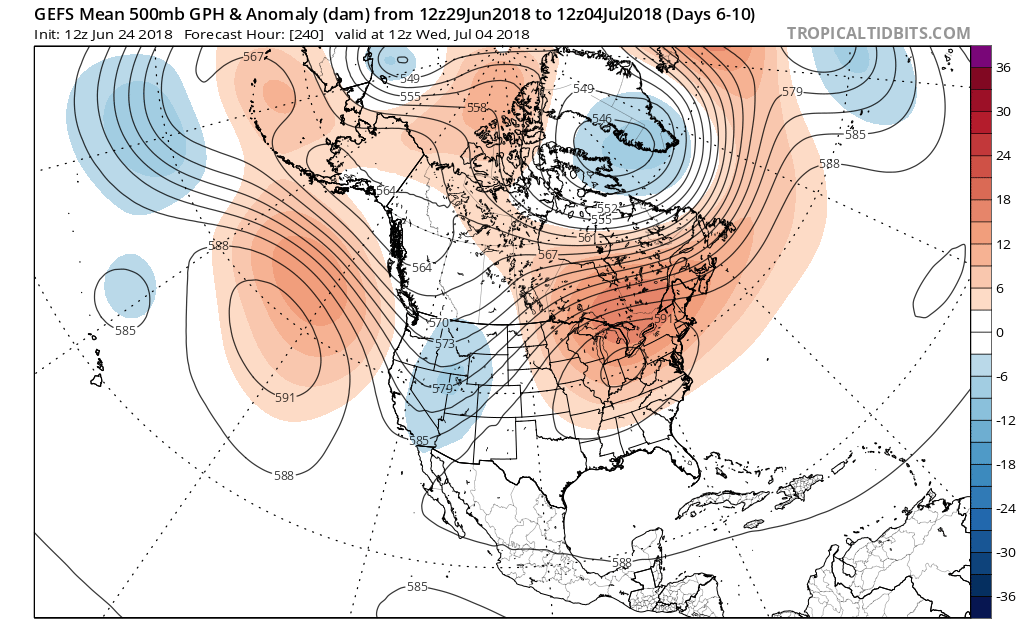
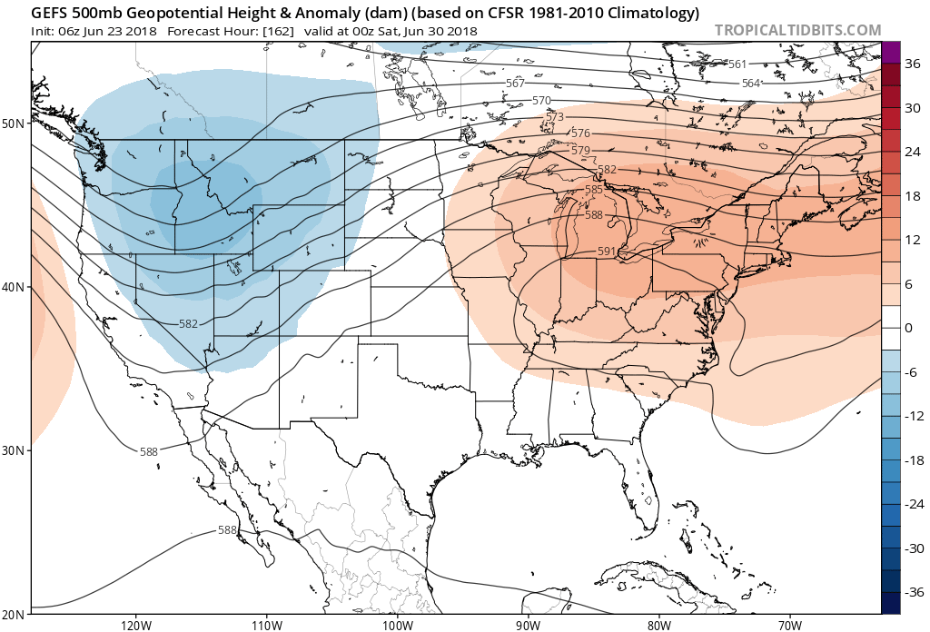 This will limit rain chances and potentially offer up the hottest air of the summer. We expect 5-6 days of low-mid 90s for highs and oppressive overnight lows in the lower to middle 70s.
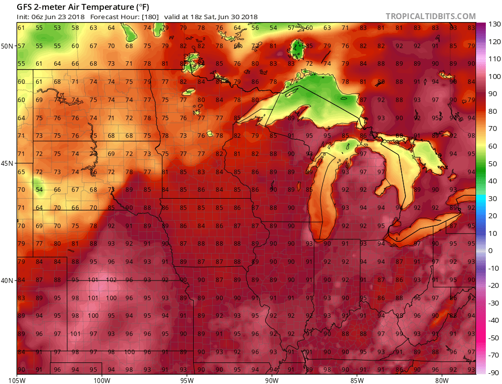 Thankfully, the hot dome will retrograde west and lead to “less hot” and increasingly stormy conditions after the first week of July. An active northwest flow pattern will take hold and provide an active time of things during this period.