VIDEO: Window Opens For More Traditional Summer Weather…
You must be logged in to view this content. Click Here to become a member of IndyWX.com for full access. Already a member of IndyWx.com All-Access? Log-in here.
You must be logged in to view this content. Click Here to become a member of IndyWX.com for full access. Already a member of IndyWx.com All-Access? Log-in here.
You must be logged in to view this content. Click Here to become a member of IndyWX.com for full access. Already a member of IndyWx.com All-Access? Log-in here.
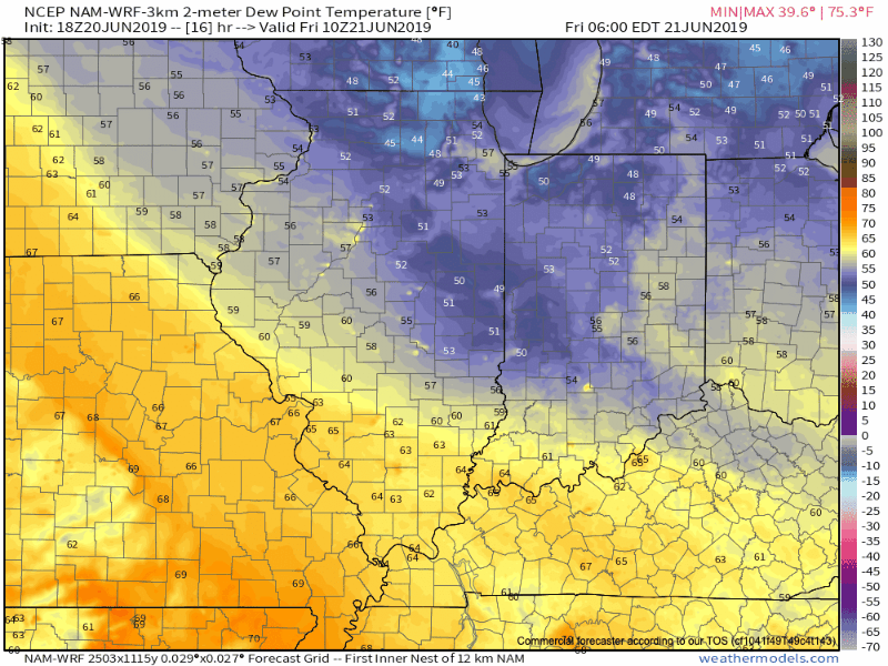
I. Briefly Refreshing: A badly needed dry stretch of weather will be short-lived- 24 hours at most for the majority of central Indiana, and that’s if you’re lucky. This evening, however, will offer a much drier brand of air building into the area along with dew points and temperatures falling into the middle to upper 50s. Areas of dense fog will be possible Friday morning in spots.
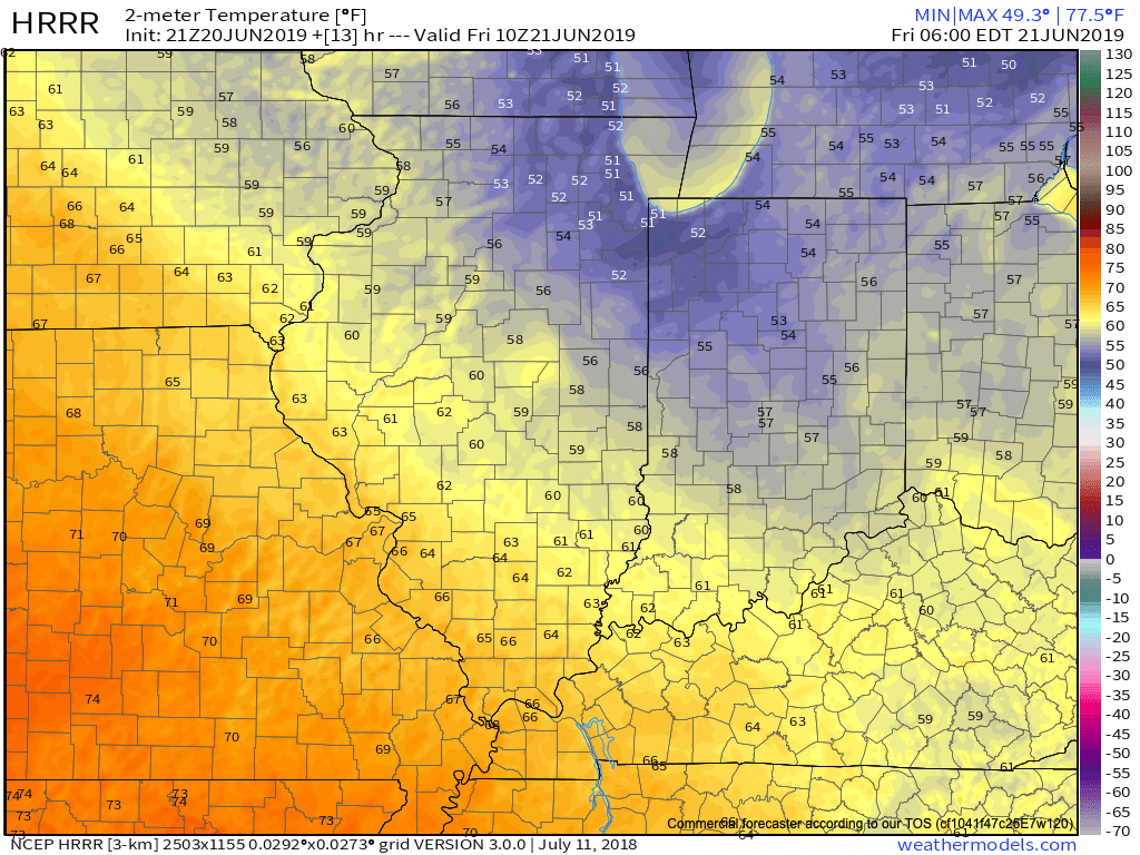
II. Tropical Air Returns: Just as soon as the drier air mass arrives, it’ll depart. We’ll go from morning dew points in the middle 50s Friday to upper 60s by evening and into the lower 70s by Saturday evening. It’s safe to the say that once to Saturday afternoon the humidity will be back with authority.
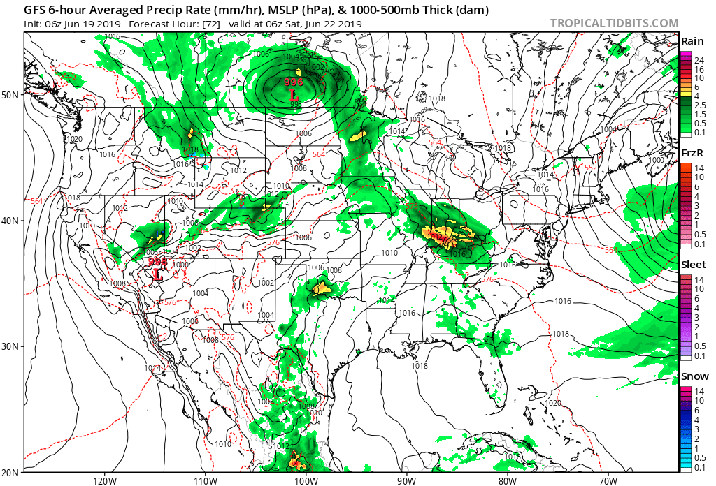
III. Warm Front Provides Focus For Storms: A warm front will lift northeast over the weekend and serve focus for hefty storms clusters to track in a northwest to southeast fashion. The first of a series of these clusters will likely arrive into the state late Friday morning or early afternoon and most likely affect the southwest portion of the state.

We believe the drier air mass will initially serve to shunt the storms to our southwest, but as an increasingly moist air mass lifts north, better chances of storms will return Friday evening into Saturday morning. This is a tough pattern to get specific with timing these storms clusters, but it’s safe to say central Indiana will come under the gun for multiple rounds of storms through the weekend and into early next week.
IV. Warmer; Drier Trends: While we can’t completely eliminate rain and storm chances, the trends continue to move towards a warmer and drier pattern building in here in the medium range (6-10 day period, or the overall period through the middle of next week into next weekend) as an upper level ridge builds over the Ohio Valley.

Enjoy while we have it as we continue to believe the pattern will return to an overall cooler and wetter theme for the bulk of July.
V. NEW European Weeklies: The updated European Weeklies are in and while they keep a warmer than normal pattern in place through the first 1/3 of July, they are bullish on signaling the return of a cooler regime around or shortly after the 10th. After a drier theme early July, wetter conditions are also signaled on the updated model data for the 2nd half of the month.
You must be logged in to view this content. Click Here to become a member of IndyWX.com for full access. Already a member of IndyWx.com All-Access? Log-in here.
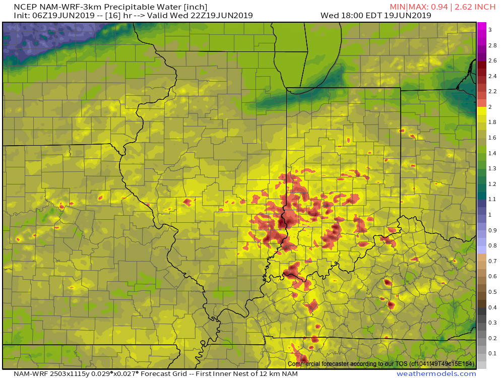
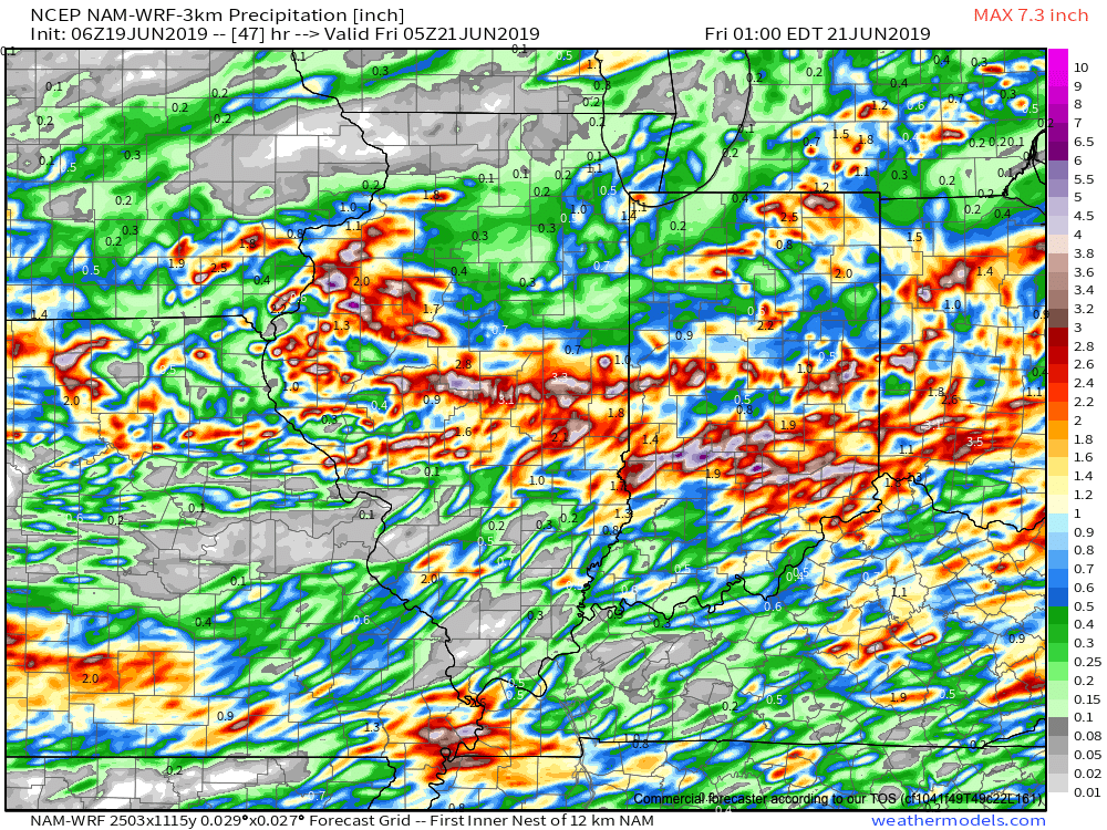
The day is opening dry across central Indiana (and sunny for some), but another heavy rain event looms by the end of the day. The culprit? A stalled front remains draped across central Indiana and a surface wave will move along this boundary this afternoon into tonight. A “juicy” airmass will remain intact across the region with precipitable water values topping out at 2.5″ across the southern half of the state. This will promote any shower or thunderstorm that develops to drop very heavy rainfall in a short period of time (1″ to 2″ per hour at times).
As the surface wave interacts with the tropical air mass in place, widespread showers and thunderstorms will blossom across the region through the afternoon into tonight. Rain will continue into Thursday afternoon.

We’re still also concerned for severe weather this afternoon and evening, including a couple of tornadoes across the southern half of the state.
By the time the rain comes to an end Thursday evening, widespread 2″ to 4″ can be expected across the heart of the state, including Indianapolis, itself.
If that’s not enough, heavy rain and thunderstorms will return late Friday and continue in an “off and on” fashion straight through the weekend.
Unfortunately, some central Indiana rain gauges can expect to pick up an additional 5″+ of rain between this afternoon and next Tuesday…