Highlights:
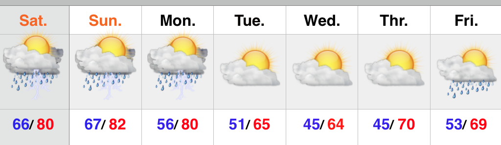
- Feeling like summer
- Storm chances ramp up going into the weekend
- Best chances of widespread rain arrives Monday
- Much cooler next week
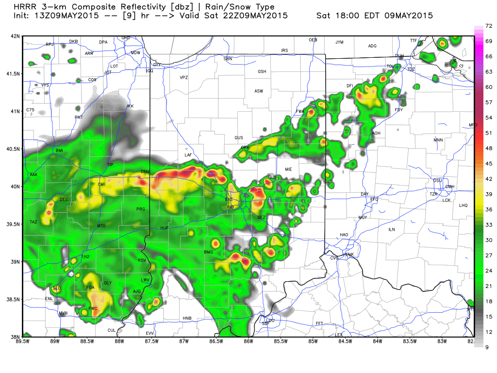
As we get set to put a wrap on another busy work week, near record warmth is the big weather story. Those unseasonably warm conditions we’ve dealt with over the past few days will continue into the weekend, but we’ll also add rain and storm chances. Coverage of thunderstorms will be categorized as “isolated” Friday, “scattered” Saturday and Sunday, and “widespread” Monday. As moisture continues to surge into the region, locally heavy downpours can be expected, and a downright muggy feel. A severe storm is certainly possible, but the more widespread severe outbreak will remain to our west across the central Plains region. Much cooler air will pour into the region behind a Monday night frontal passage.
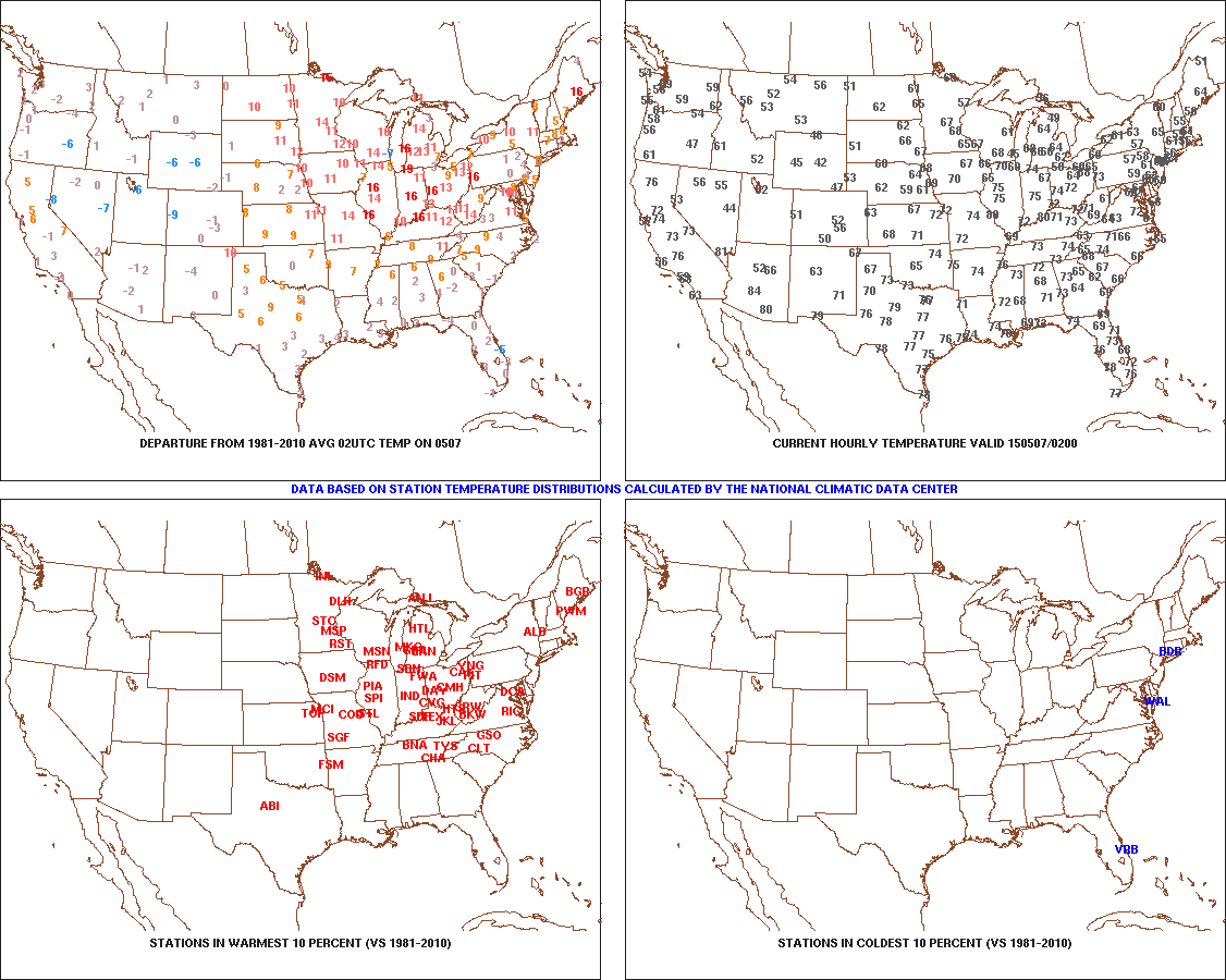 As we type this (around 10p Wednesday evening), temperatures are still in the middle 70s and a whopping 15-20 degrees above average this hour across the area.
 Think it’s humid now? Just wait until the weekend. A strong southwest flow will pull moisture-rich air northward, courtesy of a Gulf of Mexico connection. Dew points will approach 70 degrees across many southern and central IN communities and help fuel locally heavy rainfall with any storm that develops Friday night through Monday.
 A MUCH cooler air mass will filter into the region behind the cold frontal passage Monday night/ early Tuesday. After a week of summer-like heat, upper 50s for highs will feel downright chilly.