Tuesday Morning Rambles: A Much More Active Pattern Takes Foot…
Updated 11.28.23 @7:16a
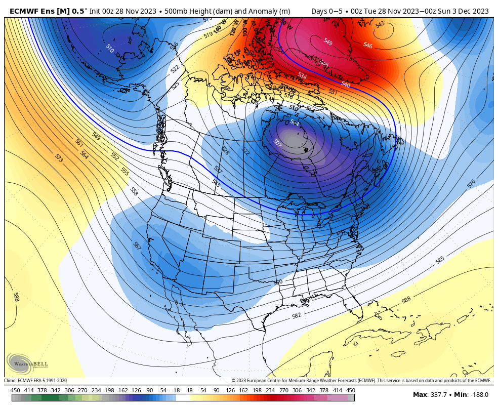
The coldest air of the season is greeting us out the door this morning, complete with snow flurries and wind chill values around zero. Safe to say that the heavy winter gear is needed today as highs struggle to crack 30° later on.


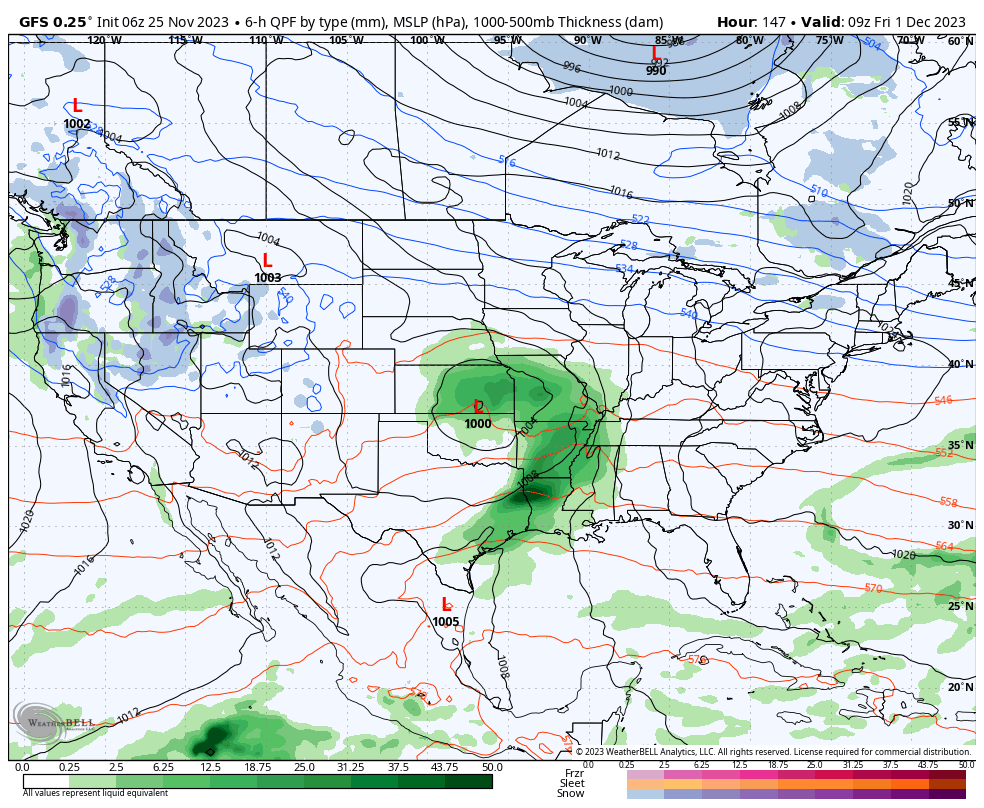
The upper pattern will transition to a milder (no blow torch by any means) and more active regime as we navigate the next 6-10 days. Most, if not all, storm systems will feature “wet vs. white” weather here over this particular time period.
Dry times return Wednesday only to give way to increasing clouds and widespread rain Thursday PM into Friday. The overall gloomy and damp pattern will prevail over the weekend and into early next week. Needless to say, enjoy whatever sunshine you can get later today and Wednesday.

It continues to look like the potential is there for more appreciable cold to get back involved with the pattern after mid-month and especially closer to the holidays.