Category: Sleet

Arctic Air On The Move…

Tue.

Wed.

Thr.

Fri.

Sat.

Sun.

Mon.

Status-weather-snow-scattered-day-icon Status-weather-clouds-icon Status-weather-clouds-icon RainSnow RainSnow Status-weather-snow-scattered-day-icon Status-weather-snow-scattered-day-icon

1929

1222

18/ 31

25/ 35

2838

2032

1523

Fresh Arctic Air…Arctic air is on the move this morning and will result in a bitterly cold close to 2014.  This arctic air may be accompanied by a snow flurry or scattered snow shower later this afternoon (especially across northeast and east-central Indiana).  The bigger story will be the bitter feel to the air as wind chills fall to around zero tonight and Wednesday morning.

Dry, but frigid conditions remain New Year’s Eve and New Year’s Day.  If you plan on ringing 2015 in downtown Wednesday night, be sure to be prepared for the cold and dress warmly!

Weekend Storm System…We continue to track a storm system for the weekend, but more questions than answers remain on precise track and timing and will have a huge impact on precipitation types and amounts.  For now we forecast a wintry “potpourri” of rain, sleet, and snow Friday night into Saturday, tapering to backlash flurries Sunday.  Stay tuned.

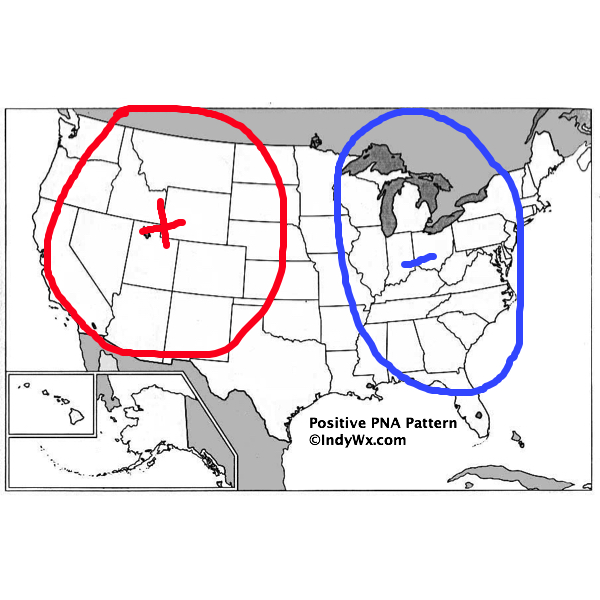
Eyes On Clippers…Indications are that we may get into a rather busy clipper pattern next week.  The first of possibly two clippers may deliver snow Monday night into Tuesday.  Cold weather continues.

Upcoming 7-Day Precipitation Forecast:

  • 7-Day Rainfall Forecast: 0.50″ – 0.75″
  • 7-Day Snowfall Forecast: 1″ – 2″ 

Permanent link to this article: https://indywx.com/arctic-air-on-the-move/

Morning Freezing Fog In Spots; Sunny And Cold

Mon. Tue. Wed. Thr. Fri. Sat. Sun. 20/ 35 22/ 29 14/ 22 18/ 31 22/ 32 25/ 34 31/ 37 Highlights: Freezing For For Some This Morning Sunny And Very Cold Weather To Close…

You must be logged in to view this content. Click Here to become a member of IndyWX.com for full access.  Already a member of IndyWx.com All-Access?  Log-in here.

Permanent link to this article: https://indywx.com/morning-freezing-fog-in-spots-sunny-and-cold/

Merry Christmas From Our Family To Yours…

Most importantly, from our family to yours, here’s wishing you a very Merry Christmas.  We can’t tell you how much your support and friendship means to us and it’s been a true pleasure and honor getting to know some of our loyal viewers over the past year.  Here’s to a fun and exciting year ahead of tracking weather across central Indiana!

merry_christmas_2013-HD

Thankfully the storm that’s been a true headache over the last week is almost outta’ here (good riddance)!  It’ll leave some sleet and scattered snow showers tonight as colder air works in, but, unfortunately, it’s not going to be a white Christmas this year.

Forecast radar during the overnight shows scattered snow showers across central Indiana, but marginally cold air and relatively warm ground temperatures will prevent much, if any, accumulation:

hrrr_ref_indy_10

We’ll have new challenges ahead in the weather department, but we’ll tackle those later tomorrow.  Enjoy your Christmas Eve and thank you again for your support of IndyWx.com!  Merry Christmas!

Permanent link to this article: https://indywx.com/merry-christmas-from-our-family-to-yours/

Thursday Morning Rambles…

A wintry mix of sleet and freezing rain continues to advance slowly northeast this morning. Thankfully, most of the rush hour should be over by the time any of this wintry precipitation arrives and we have a couple things going for us this morning: 1.) Drier air is giving this precipitation a tough time advancing northeast and 2.) by the time the precipitation arrives, temperatures will be marginal for many road problems, if any.  By far the more concerning issues are off to the southwest of Indianapolis, including places like Terre Haute (where moderate snow was reported at 9am).

IMG_1948.PNG

The HRRR slowly pushes the wintry mix along the I-70 corridor this morning.

IMG_1950.GIF

Attention then turns to a heavy rain event Friday into Saturday morning. Widespread 1-2″ amounts are expected.

IMG_1949.GIF

Forecast radar shows periods of heavy rain overnight Friday into Saturday morning.

hires_ref_indy_49

Much more this evening!

Permanent link to this article: https://indywx.com/thursday-morning-rambles/

Another Bout Of Rush Hour Wintry Mix; Longer Range Talk…

We think we’re dealing with another round of light freezing drizzle and a wintry mix for the Thursday morning commute.  Plan to allow extra travel time.

Forecast radar Thursday morning suggests freezing drizzle and a light wintry mix is in play across central Indiana.

Forecast radar Thursday morning suggests freezing drizzle and a light wintry mix is in play across central Indiana.

There’s some longer term data that’s in stark contrast from what a positive PNA should produce (yet alone a strong positive PNA).  Typical positive PNA pattern should promote an eastern trough and associated colder than normal pattern as drawn below:

PositivePNA

Needless to say, we disagree strongly with the NAEFS and GFS ensembles:

2014120312_054@007_E1_north@america_I_NAEFS@TEMPERATURE_anomaly@probability@combined@week2_186

Regardless, the future will tell!  

Permanent link to this article: https://indywx.com/another-bout-of-rush-hour-wintry-mix-longer-range-talk/