Updated 01.07.24 @ 3:27p
While we’ll enjoy a quiet open to the work week, our next storm system is already organizing to our west and will deliver a heavy wind-whipped rain event, bookended by wintry precipitation Monday night into Wednesday morning.
Rainfall numbers will approach, if not exceed, the 1″ mark for most Indiana rain gauges with this system- the majority of which falls overnight Monday through the 1st half of Tuesday.

A wintry mix of wet snow and/ or sleet will likely be the predominant precipitation type along and north of I-70 at the onset of precipitation tomorrow night, but this doesn’t appear as if it’ll last long enough to create long lasting travel problems. In short, a quick transition to plain ole rain is anticipated after the onset of wintry precipitation. Safe to say, the Tuesday morning commute will be a messy one across the region.
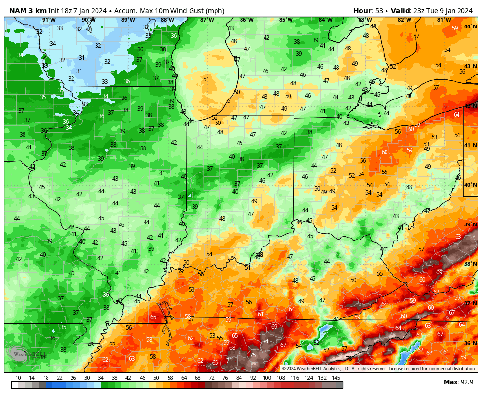
Winds will also to around 40 MPH overnight into Tuesday morning as the area of low pressure lifts up to our west.
As colder air wraps back into the region Tuesday night, left over rain will transition to wet snow, continuing into Wednesday morning.

Just as soon as we finish with this system, attention will shift to a brewing winter storm as we close out the work week. While it’s impossible to get too specific on the all-important track of this system, it’s safe to say that this should be another potent area of low pressure, including more in the way of cold air to work with. With the arctic branch of the jet digging south, it won’t take much for this system to phase and actually be a more intense storm than its predecessor. That said, we have a long, long way to go before we can talk about where the heaviest swath of snow will set up in the Friday/ Saturday timeframe. It’ll be important to stay abreast of future forecast updates in the days ahead.

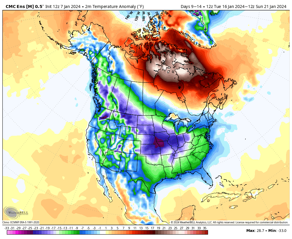
Bitterly cold, arctic air will be unleashed east through mid-January. Note the coast-to-coast arctic air taking up residence towards Day 10.
Our benchmarks have been set…