Brief: Accumulating Snow & Sleet
Forecaster: McMillan
What: Accumulating snow and sleet
When: 9p Tuesday through 8a Wednesday
Temperatures: Upper 20s to lower 30s
Wind: E 15-25 MPH
Blowing/ Drifting: Moderate (before the snow changes to sleet).
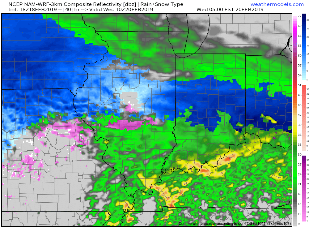
A warm front will lift north Tuesday night. Copious amounts of moisture will push into southern Indiana Tuesday evening before arriving into the city, itself, around or just before the 10p to 11p timeframe. Initially, the air mass will be cold enough to allow all precipitation to fall in the form of snow, however, as warmer air aloft arrives, snow will transition to sleet and possibly freezing rain during the overnight period. Before the transition to sleet takes place, a quick 1″ to 3″ of snow is possible across central Indiana. Surface temperatures are expected to creep just past the freezing mark around the 7a to 8a timeframe- allowing all precipitation to transition to rain. With several hours of frozen/ freezing precipitation expected during the overnight, slick travel is expected to develop.
Confidence: Medium-high