Time For The Heavy Equipment: Localized Storm Totals Approach One Foot By The Time All Is Said And Done…
High resolution guidance started to show the snowier solutions earlier this evening and that trend has continued this evening. The consistency is great to see, but we also notice a couple of interesting elements “upstream” that will likely ultimately end up producing a memorable mid-December snow storm across central Indiana by the time all is said and done.
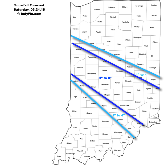
Before we talk specifics, here’s our updated snowfall forecast. Please note, this is expected total snowfall by daybreak Tuesday morning. We wouldn’t be shocked to hear of localized one foot amounts along the I-70 corridor.
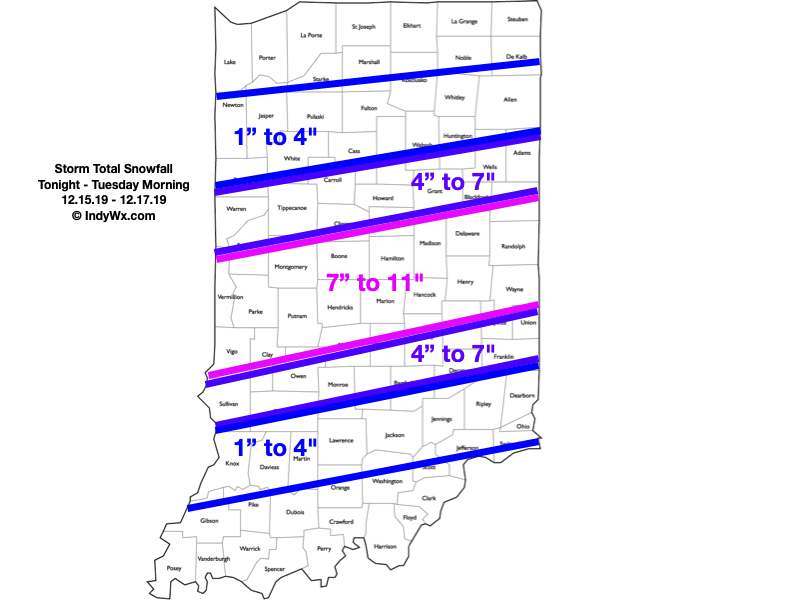
Periods of heavy snow will come to an end during the overnight. We think by 3a to 4a, most of the snow from “round 1″ will be to our east and we’ll be left with clean up duties before a Monday morning rush that will likely still be heavily impacted. By the time the 1st round is finished, most of the I-70 corridor will be shoveling and plowing away 4″ to 6” of wet snow.
We’ll then get into the expected lull in the action through a good chunk of the daytime Monday. That said, curious eyes will be focused in on south-central MO mid-to-late morning as precipitation blossoms in response to a strengthening surface wave that will move northeast out of the Ark-la-tex and into the TN Valley tomorrow night.
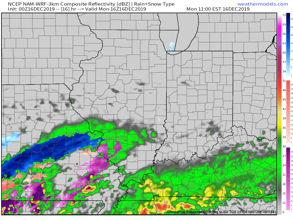
This will promote an expanding shield of moderate to heavy precipitation moving northeast and overspreading central Indiana by mid afternoon Monday. For us here across central Indiana, this will fall as snow.

If you don’t have to travel tomorrow, we’d recommend staying home and off the roads. While conditions will improve late morning into early afternoon, travel conditions will go downhill in significant fashion by 3p to 4p Monday across central Indiana- including the metro.
Periods of snow, heavy at times, will continue into the overnight before pushing off to the east before sunrise Tuesday. By that time, the heart of central Indiana will be cleaning up from a double digit and most memorable mid-December snow storm.
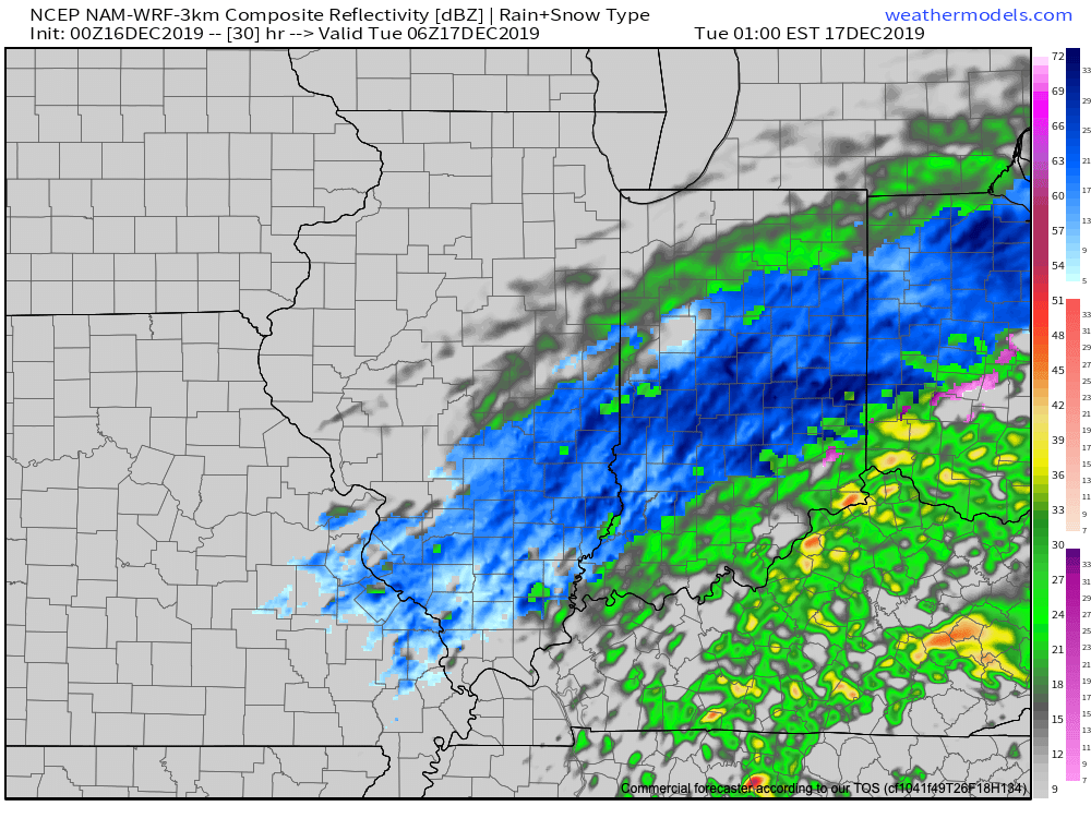
We’ll be left with colder, but generally dry conditions Tuesday. Temperatures will remain below freezing through the day, but the majority of the region won’t be dealing with any additional snowfall after sunrise…
Gas up that snowblower! Next update will come early in the AM.
 Latest highlights: