*Your complete and updated 7-day will be posted later tonight. As always, please click on the images below to enlarge.
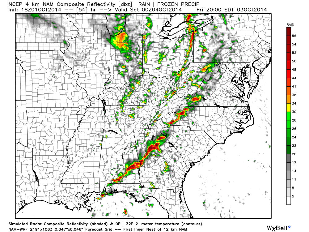
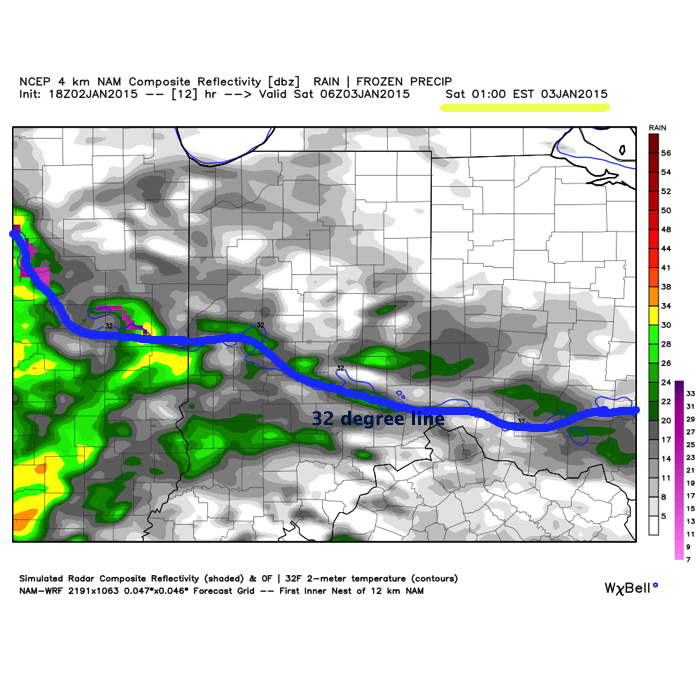
1.) Early freezing rain will give way to a moderate to heavy rain event Saturday. Widespread 1″-2″ rainfall amounts can be expected. If traveling during the predawn hours across central Indiana, be aware for possible light glazing from freezing rain. Forecast radar shows freezing rain potential shortly after midnight. This should transition to all rain between 2a-4a across central Indiana, but if your travels take you north, northern parts of the state will hang on to a wintry mix a few hours longer.
2.) We’re eyeing an accumulating snow event as a clipper system and associated arctic front blow in Monday night and Tuesday. Still early to talk specific snow amounts, but it’s the type event that could deposit a “few” inches. More in the days ahead. Wind and brutal cold will accompany this snow.

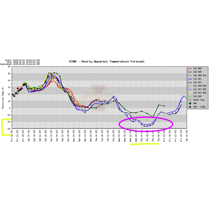
3.) Dangerous cold invades next week and reaches coldest levels Wednesday into Thursday. Wind chill values may approach 30 degrees below zero. Definitely a dangerous scenario if you plan to be outdoors for any length of time period.
4.) Additional wintry mischief awaits later next week…