Highlights:
- Early morning dense fog
- Warm and dry close to the week
- Wet and stormy second half of the weekend
- Much cooler next week
- 7-Day model average precipitation totals range from 1″ to 1.5″, with locally heavier totals
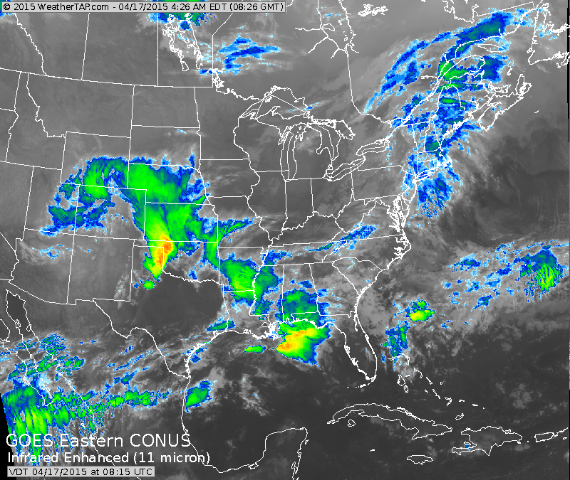 The infrared satellite this morning, courtesy of Weathertap.com, is showing a significant storm system dumping major snows along the CO Front Range. Additionally, later today, this storm system will help spawn a severe weather outbreak across eastern CO, NE, and KS.
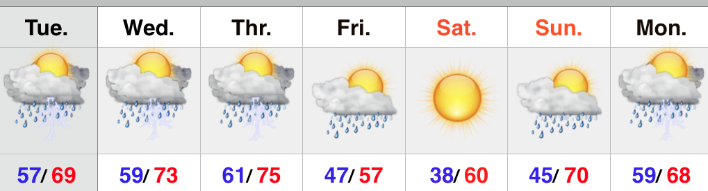
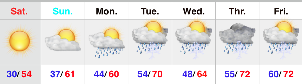
Locally, we have no weather worries after we rid ourselves of the dense fog currently in place across central Indiana. Once the fog burns off it’s nothing but sunshine and warmth and an absolute ideal close to the work week and open to the weekend. Highs today (image 1) will reach the lower to middle 70s and we forecast highs Saturday in the upper 70s (image 2), both courtesy of Weatherbell.com.

 Things will begin to transition to stormy times for the second half of the weekend as a “piece” of that big Rocky Mountain storm system breaks away and helps develop a new surface low over the MS River Valley. This low pressure system will ride into the Ohio Valley and provide widespread showers and thunderstorms Sunday.
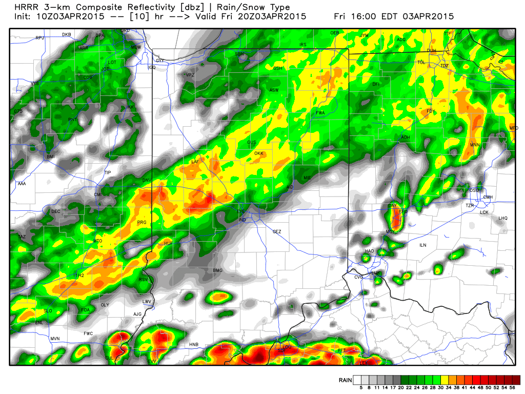
Here’s a look at the 2p forecast radar Sunday, courtesy of Weatherbell.com.
 The Storm Prediction Center has outlined far southern portions of the state for a Slight Risk of severe weather Sunday.
 As we turn our attention to next week, unseasonably cool air will engulf a large portion of the east. Reinforcing chilly air will push in later next week, after the first surge of chill arrives Monday night/ Tuesday.