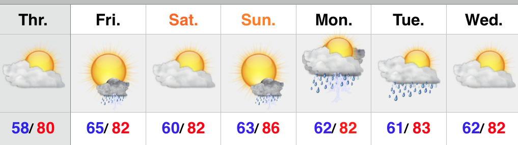
An active and noisy night is on tap, friends, as multiple storm clusters move through central Indiana. Initially, the concern is hoisted for severe weather, including damaging winds and hail. As the night progresses, the growing concern will be flash flooding as storms train over the same area, potentially leading to 3″+ rains in localized areas.
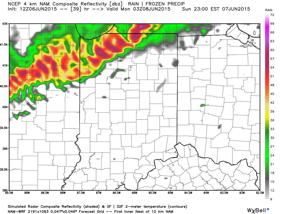
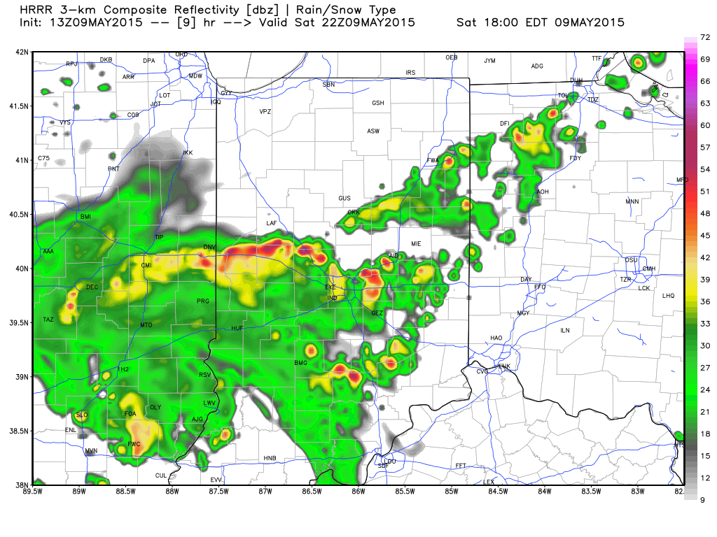
We’re currently eyeing convection firing to our northwest and these storms will push southeast this evening. They will move into a very warm, humid, and unstable environment and will likely strengthen as they ride into north-central IN later this evening. Here’s a snap shot of the radar valid at 8p:
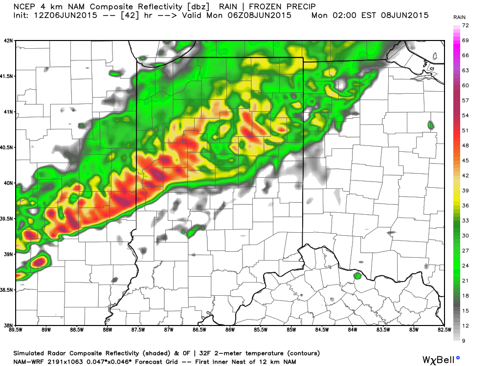
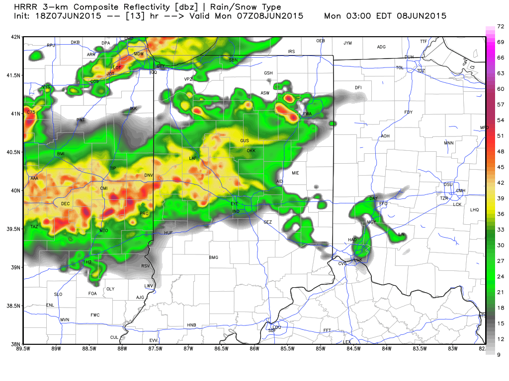
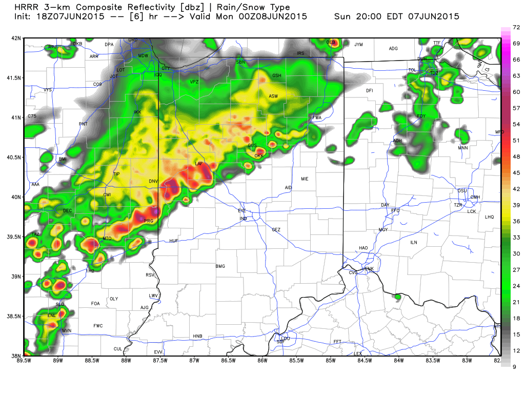 Note as we progress into the overnight, additional storms are likely and flooding concerns are on the rise due to this. Radar valid at 3a:
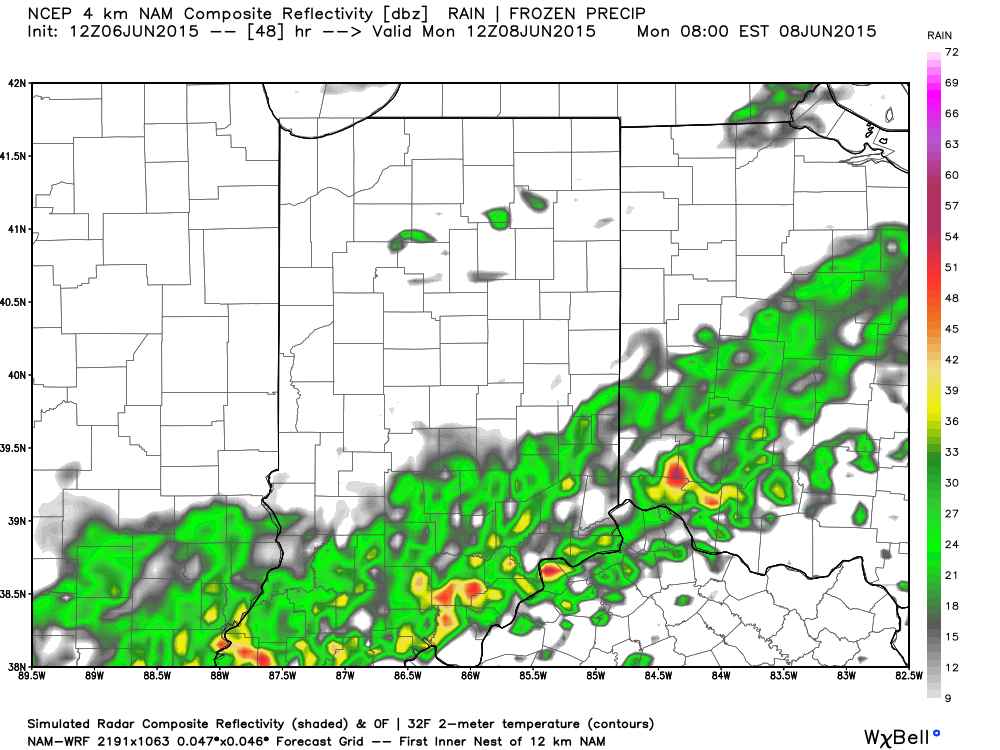
 Rainfall totals of 1″-2″ will be common tonight across central IN, but some localized reports of 3″-4″ can’t be ruled out where storms train. Here’s a look at potential rainfall numbers through 5a:
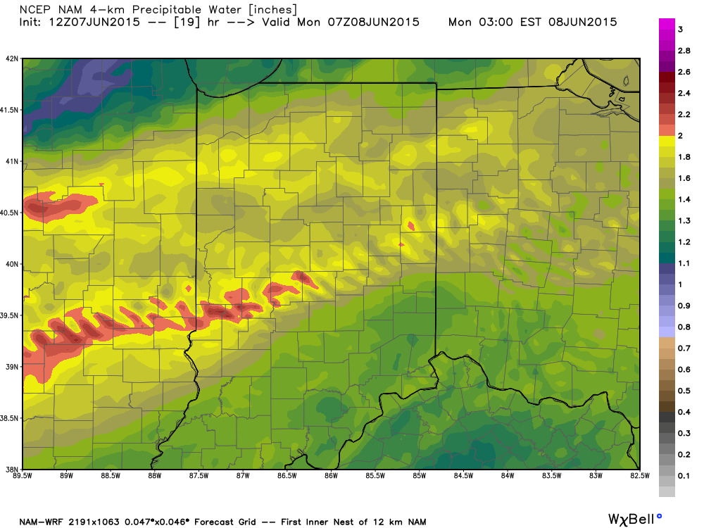
 We note PWATs (precipitable water values) pushing close to 2″ overnight and this increases our confidence on the heavy rainfall potential, as well:
 Stay weather-aware tonight, friends!