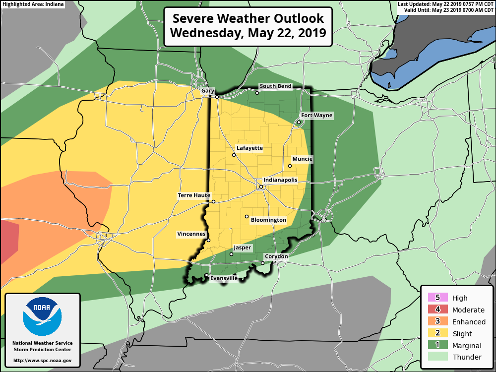
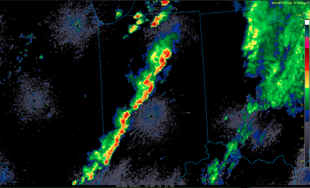
Active weather will continue as we move through mid and late week. A cold front currently north of the region will slowly move south into central Indiana before stalling out and lifting back north as a warm front Thursday. This will serve as a focal point for additional thunderstorm development over the next few days.
With a warm and moist environment in place, along with enough instability and forcing, storms may become strong to severe at times. While the setup the next couple of days doesn’t appear as favorable for tornadoes (when compared to yesterday), all modes of severe weather will be possible with the stronger storms. (Always have to be leery with a warm front nearby).
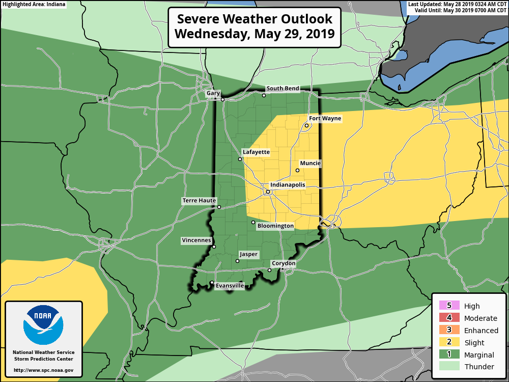
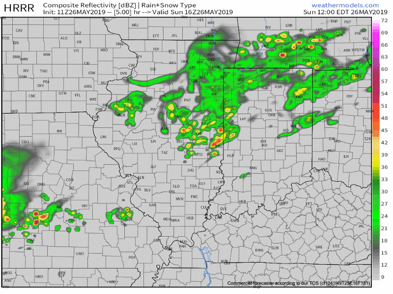
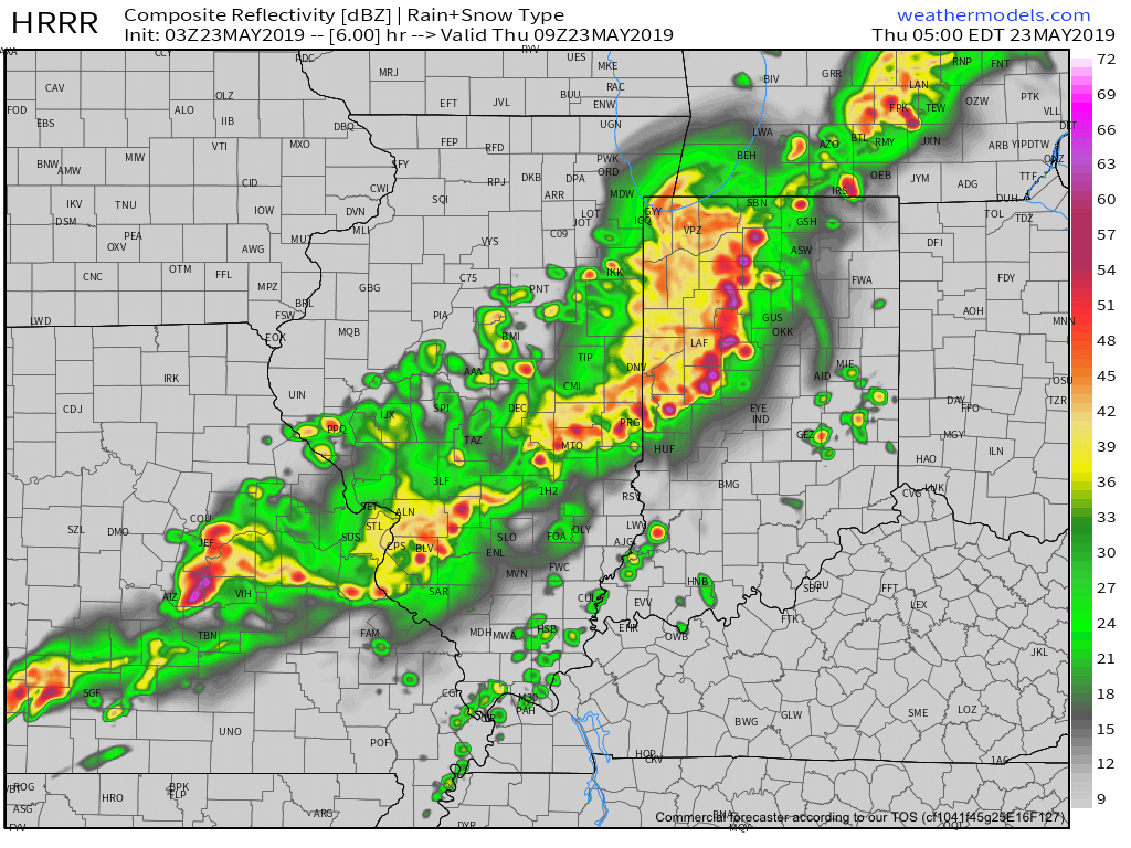
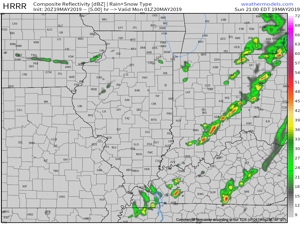
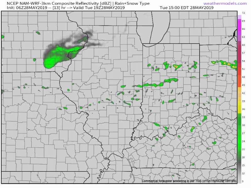
Periods of more concentrated storms can be expected this evening into Wednesday morning and again Wednesday evening into Thursday morning. In addition to a strong thunderstorm threat, locally heavy rain is a good bet.

There is hope that we will be able to work drier air into the region over the upcoming weekend, helping to reduce rain chances between Sunday and next Tuesday. Let’s keep our fingers crossed…