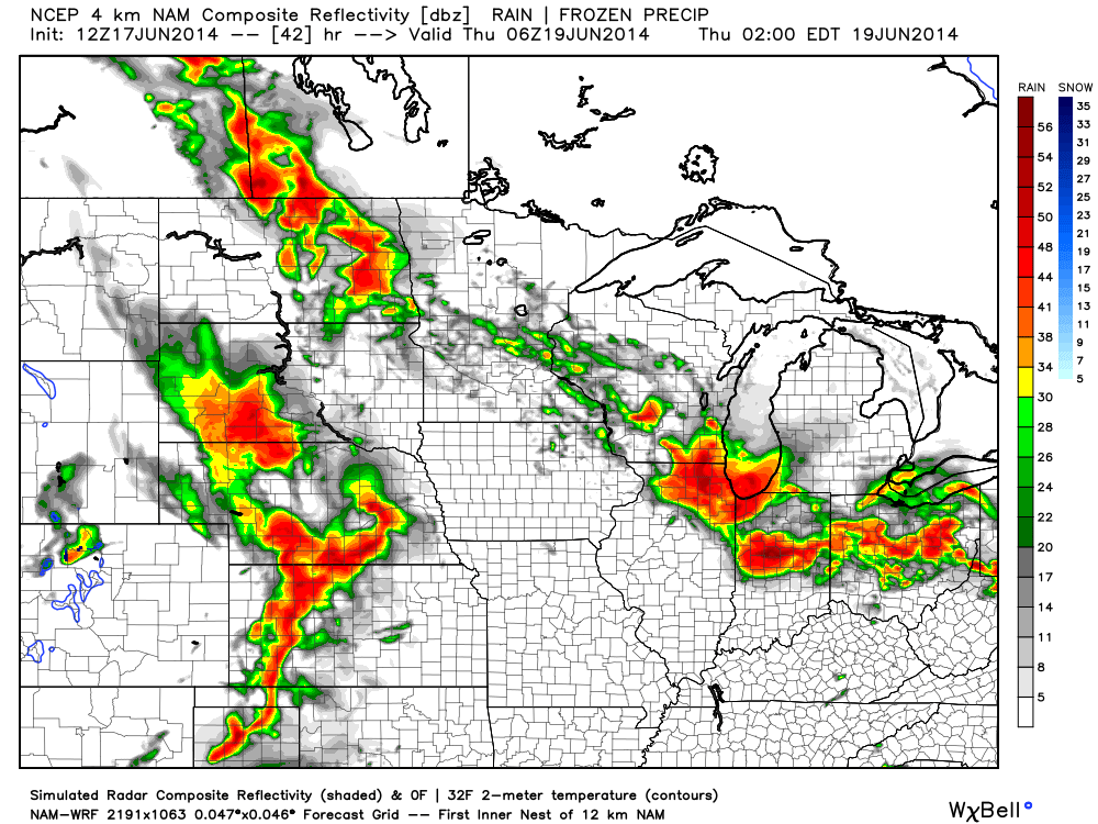
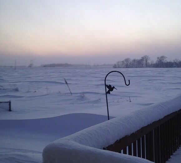
We asked this question on our Twitter account earlier this morning. Do you prefer heat and humidity or frigid and snowy? Here’s a look out the back door from the IndyWx.com HQ from this morning and then back to right after the early January winter storm. Note the snow depth on the fence line. Amazing stuff!


Anyway…as we look ahead, we still anticipate an overall regime change as we progress through the upcoming weekend and into next week.
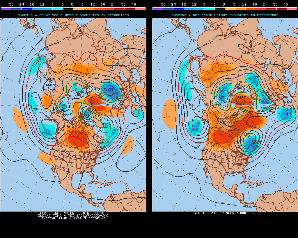
Model data remains in rather good agreement on the evolution of the upper air pattern over the course of the upcoming 7-10 day period. The GFS is a touch more aggressive on the eastern trough when compared to the European, but both agree on week 2 cooling, as do we.
This won’t be tremendously cool air (such as last weekend), but when compared to averages, we’re likely to cool things back to slightly below normal.
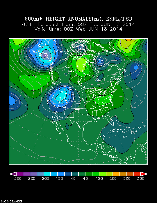
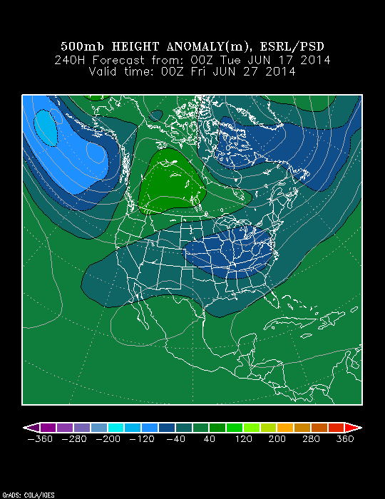
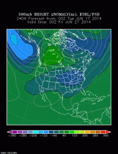
The PSD shows the changes, as well. Note the current eastern ridge is replaced by the Day 10 eastern trough.
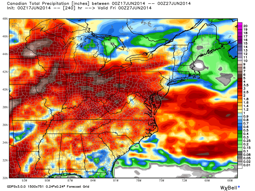
The precipitation idea is one that is continued wet. Our three primary mid range global models (GFS, Canadian, Euro) agree on widespread rainfall totals of 1.5″-3″ (locally heavier totals where stronger thunderstorms move) over the next 10 days. Here’s a closer look at the Canadian, thanks to the model suite at Weatherbell Analytics.