Busy Week Of Weather Ahead…

Sun.

Mon.

Tue.

Wed.

Thr.

Fri.

Sat.

 Status-weather-showers-day-icon

 Status-weather-showers-day-icon

 Status-weather-showers-day-icon

 Status-weather-clouds-icon

 Status-weather-clouds-icon

 Status-weather-clouds-icon

 Status-weather-showers-day-icon

62/ 83

66/ 83

70/ 81

61/ 78

52/ 75

54/ 81

62/ 83 

Light

Light

Light

– – –

– – –

– – –

Light

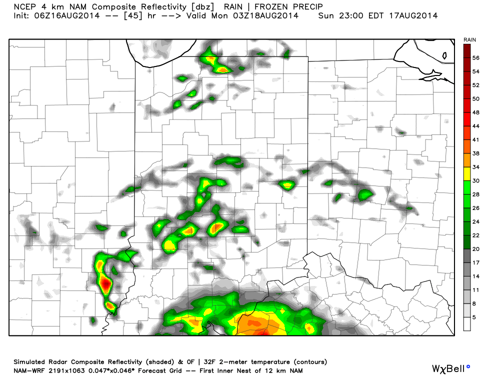
A round of scattered showers impacted portions of north-central Indiana during the early morning hours.  Those showers have since pushed east and we’re now back into dry conditions (for now). We’ll watch the radar closely as outflow boundaries to our west this morning could ignite possible scattered thunderstorm redevelopment once again this afternoon.  This is just the beginning of a busy few days ahead as we track multiple thunderstorm complexes that have potential to impact the region.  We’ll watch late tonight and early Monday and again late Monday into Tuesday for possible more widespread storm complexes and an associated severe weather risk- mainly from damaging straight line wind potential.  Once to Wednesday morning we should note a drier and cooler air mass pressing in which will set the stage for a beautiful close to the work week.  Once to the weekend, a warmer and increasingly moist flow will return with renewed storm chances.

Sun-Filled And Unseasonably Cool…

Fri.

Sat.

Sun.

Mon.

Tue.

Wed.

Thr.

 Status-weather-clear-icon

 Status-weather-clear-icon

 Status-weather-clouds-icon

 Status-weather-showers-day-icon

 Status-weather-showers-day-icon

 Status-weather-showers-day-icon

 Status-weather-clouds-icon

51/ 76

55/ 80

59/ 83

68/ 87

68/ 82

58/ 78

57/ 82 

– – –

– – –

– – –

Light

Moderate

Light

– – –

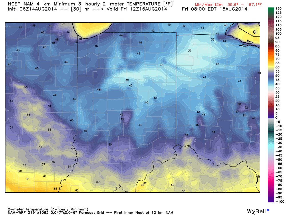
Happy Independence Day!  Canadian high pressure remains firmly in control of our weather today and for the majority of the weekend for that matter.  As a result, look for plentiful amounts of sunshine and temperatures that will continue the cooler than normal regime we enjoyed Thursday.  Today’s conditions, once again, will have that feeling of early fall.  ENJOY!  A more active weather pattern will return early next week as we potentially have to deal with a couple thunderstorm complexes in the Monday-Tuesday time period.  Heavy rain and the chance of severe weather will return to your forecast Monday night into Tuesday and we’ll have more details around this as we move closer.  A cooler and drier regime will build in by the middle portion of next week.