Front Moves In This Evening…
|
Tue. |
Wed. |
Thr. |
Fri. |
Sat. |
Sun. |
Mon. |
|
|
|
|
|
|
|
|
|
69/ 90 |
69/ 87 |
64/ 86 |
65/ 89 |
68/ 88 |
69/ 86 |
70/ 88 |
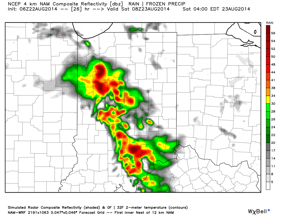
Frontal Boundary Leads To Better Shower And Storm Coverage…A cold front will slip through central Indiana later this evening. This will be a focal point in better coverage of showers and thunderstorms today, especially this afternoon and evening. Locally heavy downpours can be expected though rainfall amounts won’t be uniform (rarely are this time of year).
The boundary will move just south of the region Wednesday before stalling out. It’ll remain close enough to maintain mention of scattered thunderstorms into your mid week forecast with a drier forecast Thursday. Temperatures will slip backwards a couple of notches and humidity values will improve to a degree mid week.
Stormy Times Return…After a somewhat drier time of things mid week, unsettled times will return late week into the Labor Day weekend. No all day rains are anticipated, but there will be periods of storminess into and through the weekend.
7-Day Precipitation Forecast:
- 7-Day Rainfall Forecast: 1.50″-2.00″
- 7-Day Snowfall Forecast: 0.00″
We received a couple colorful sunrise pictures this morning from Boone County, highlighted by cloud shots from storms ongoing to our north. Thanks to John (T) and Paul (B) for these great photos this morning!