Category: Rain

Locally Heavy Rain Producing Storms This Afternoon…

Wed.

Thr.

Fri.

Sat.

Sun.

Mon.

Tue.

 Status-weather-showers-day-icon

 Status-weather-showers-day-icon

 Status-weather-clouds-icon

 Status-weather-clear-icon

 Status-weather-clouds-icon

 Status-weather-showers-day-icon

 Status-weather-showers-day-icon

67/ 81

64/ 80

56/ 80

57/ 81

59/ 83

68/ 84

70/ 84 

Light

Light

– – –

– – –

– – –

Light

Light

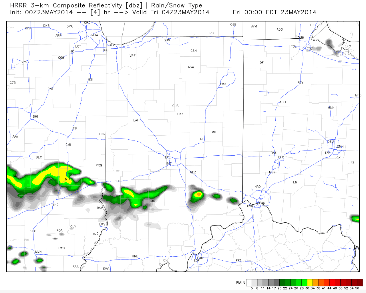
The summer mugginess continues today and into Thursday, and with a frontal boundary sinking south this afternoon this will combine with the humidity to create localized heavy down pours with any thunderstorm that gets going. We think coverage of showers and thunderstorms will be most numerous today over central Indiana.  A very warm and humid air mass will remain intact through Thursday, but we still forecast a nice push of much drier air in here for the weekend. Northeast winds will allow very pleasant humidity levels to back in here for the Friday-Sunday time period.  Hoosiers continue to luck out with the timing as the weekend looks beautiful followed by resurgent warmth and humidity (and associated shower and thunderstorm chances) as early as Monday.  Some of the most humid air of the season will blow into town early next week and potentially help fuel more locally heavy downpours.

In case you missed it:

“Another Nice Weekend In The Middle Of An Unsettled Pattern…”

Permanent link to this article: https://indywx.com/locally-heavy-rain-producing-storms-this-afternoon/

Another Nice Weekend In The Middle Of An Unsettled Pattern…

The upcoming 7-10 days looks unsettled overall and quite wet.  That said, we’re set to enjoy another beautiful weekend with a refreshing northeast breeze in play.  We discuss this and look deeper into the month of June in this evening’s video update below!

Latest model data suggests widespread 2-3" of rain could fall across central Indiana over the course of the upcoming 7-10 days.

Latest model data suggests widespread 2-3″ of rain could fall across central Indiana over the course of the upcoming 7-10 days.

Permanent link to this article: https://indywx.com/another-nice-weekend-in-the-middle-of-an-unsettled-pattern/

Feeling Like Summer!

Tue. Wed. Thr. Fri. Sat. Sun. Mon.               65/ 83 64/ 80 66/ 80 55/ 78 55/ 79 56/ 82 63/ 83  Light Light…

You must be logged in to view this content. Click Here to become a member of IndyWX.com for full access.  Already a member of IndyWx.com All-Access?  Log-in here.

Permanent link to this article: https://indywx.com/feeling-like-summer/

Beauty Of A Race Weekend Underway; Warmth And Humidity Builds Memorial Day And Beyond.

Here’s a video update discussing the next few days and looking at increasing warmth and humidity (and storm chances) as we move into the short work week ahead.

You must be logged in to view this content. Click Here to become a member of IndyWX.com for full access.  Already a member of IndyWx.com All-Access?  Log-in here.

Permanent link to this article: https://indywx.com/beauty-of-a-race-weekend-underway-warmth-and-humidity-builds-memorial-day-and-beyond/

Indy Weather Recap And A Look Ahead

Wednesday was a stormy day across central Indiana, including damaging wind and hail. Flooding was also a concern in some areas.  Officially here at IndyWx.com HQ we picked up 2.21″ of rain Wednesday- most of which fell in a 3 hour time period.  Here’s a cool image from the fine folks at Weatherbell Analytics showcasing the heaviest rainfall.

nws_precip_conus2_2

Despite a couple of showers (primarily south of the city) later this evening the upcoming three days will be beautiful and rain-free!

hrrr_ref_indy_5

Temperatures are trending cooler when compared to 24 hours ago and as noted here by the 24 temperature difference, the cooler air to our north will continue to push south tonight.

t0

Temperatures and humidity levels will be below normal levels the next couple days before warmth slowly builds Sunday.  Lows Saturday morning will dip into the upper 40s for several communities.

hires_t2m_min_indy_14

True summer-like heat and humidity will lift north Memorial Day into Tuesday.  Note the temperature anomalies do an about face from Day 1 to Day 5.  Heat and humidity will be on the rebound for the unofficial start to summer, but, as noted above, should remain in the “comfy range” for race day.

D1

D5

With the increasing warmth and humidity will come a return of scattered shower and thunderstorm chances early next week.

As we look forward to early June, there are indications it could open on the warm side.  Note relative agreement between the CFSv2 (Climate Forecast System version 2), NAEFS, and Physical Science Division model.  Does the warm pattern stick and hold?  Not so fast, my friend… 😉

2014052212_054@007_E1_north@america_I_NAEFS@TEMPERATURE_anomaly@probability@combined@week2_186wk1.wk2_20140521.NAsfcTt850_anom_f288_ussm

Permanent link to this article: https://indywx.com/indy-weather-recap-and-a-look-ahead/