Refreshing Last Weekend Of July…
 Highlights:
- Wall-to-wall sunshine
- Comfortable temperatures
- Rain chances return
- Even cooler next weekend
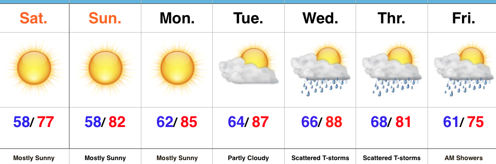
Can’t Beat This Weather…The short-term is very simple. High pressure will dominate our pattern through early next week and result in very refreshing conditions. With a north-northeast flow in place, unseasonably cool and dry air will continue to flow into the region through the weekend. Get out and enjoy it!
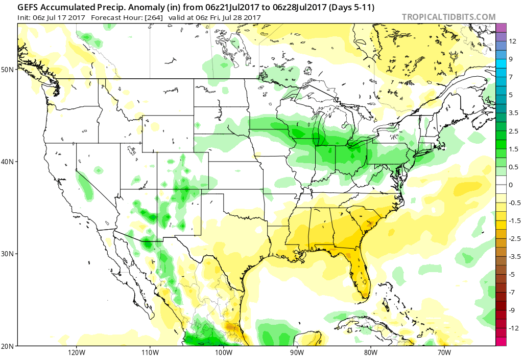
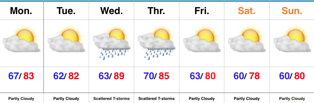
Temperatures will slowly moderate heading into mid week and moisture will return ahead of a cold front Wednesday into Thursday. Greatest overall rain coverage should arrive on the scene Thursday, including chances of thunderstorms. Similar to this week, the cold front will pass Thursday night/ Friday morning and result in a drier ending to the work week. An early look at next weekend shows another anomalous trough digging into the Mid West. The end result will likely be temperatures that are even cooler than this weekend. Mid-upper 70s for highs, perhaps?!
Upcoming 7-Day Precipitation Forecast:
- Snowfall: 0.00″
- Rainfall: 0.50″ – 1.00″
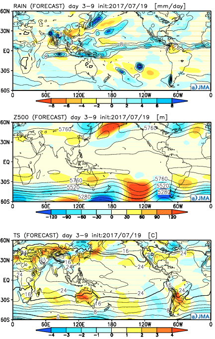
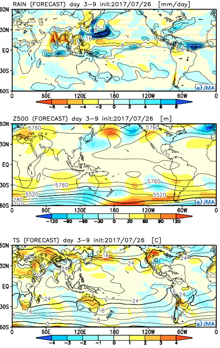 Week 2:
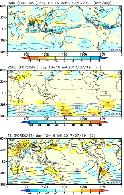
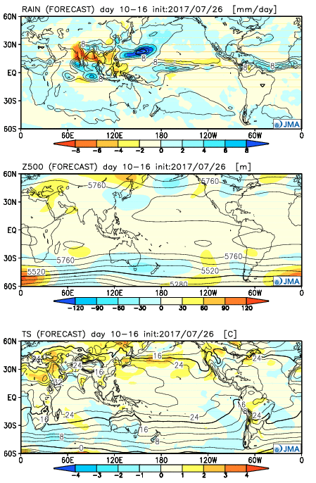 Weeks 3-4: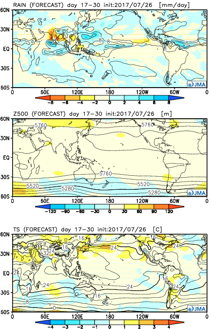
 Highlights:
 Week 2:
 Weeks 3-4: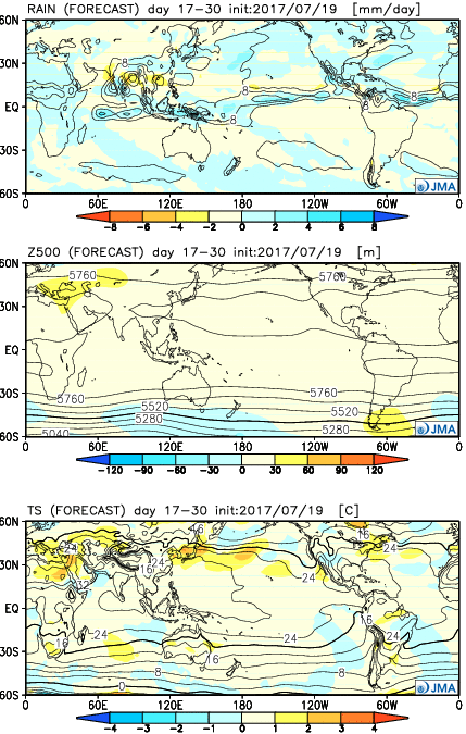
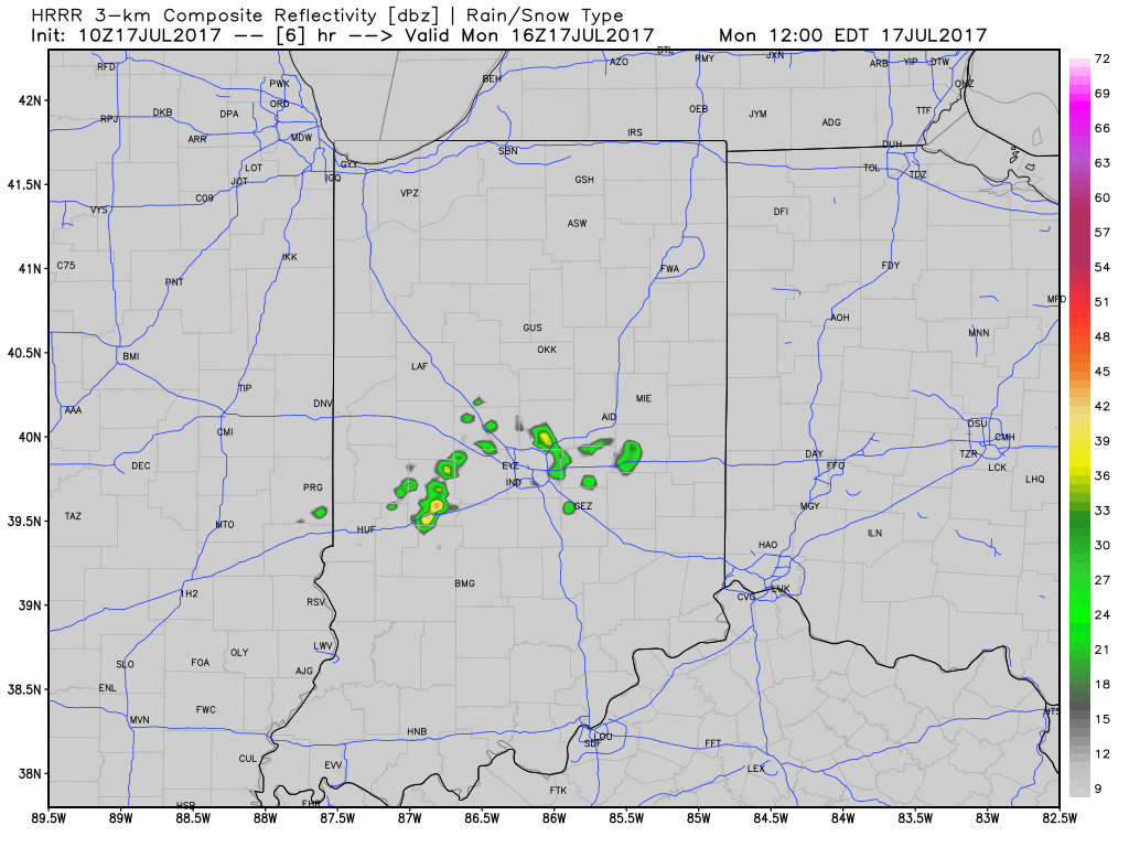
 2.) While the radar is rain and storm-free this morning, a left over boundary, combined with daytime heating will help spark isolated to widely scattered storm coverage this afternoon.
 3.) The big weather story this week will be an increasingly hot and humid feel once to mid and late week, including the weekend. While today will continue the theme of slightly cooler than average from the weekend, we’ll more than make up for the refreshing feel later this week. Highs will push to around 90° Wednesday through Sunday as the ridge expands.
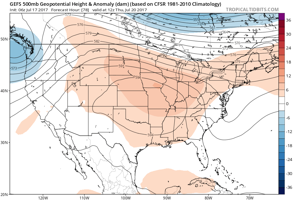 4.) Despite the hot and humid feel that develops this week, it won’t last. Like so many other times this summer that heat tries to build east, the transient weather pattern will continue to prevent it from “hitting and holding.” You guessed it, as we transition from the hot conditions to cooler weather next week, rain and storm chances will be on the increase, including the potential of heavy rain. As of now, best rain and storm chances appear lined up for late week through the weekend and into early next week.