Things Turn More Active Early Next Week…
The short-term weather pattern will remain largely uneventful here across central Indiana. This morning, widespread precipitation is falling to our southwest, including accumulating snow across MO. This system will weaken significantly as it pushes east.
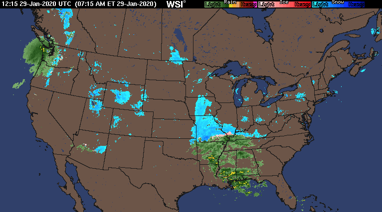
Some upper level energy is still capable of developing some light snow across central Indiana tonight into Thursday morning, but this won’t be a big deal and some neighborhoods won’t see any snow at all.

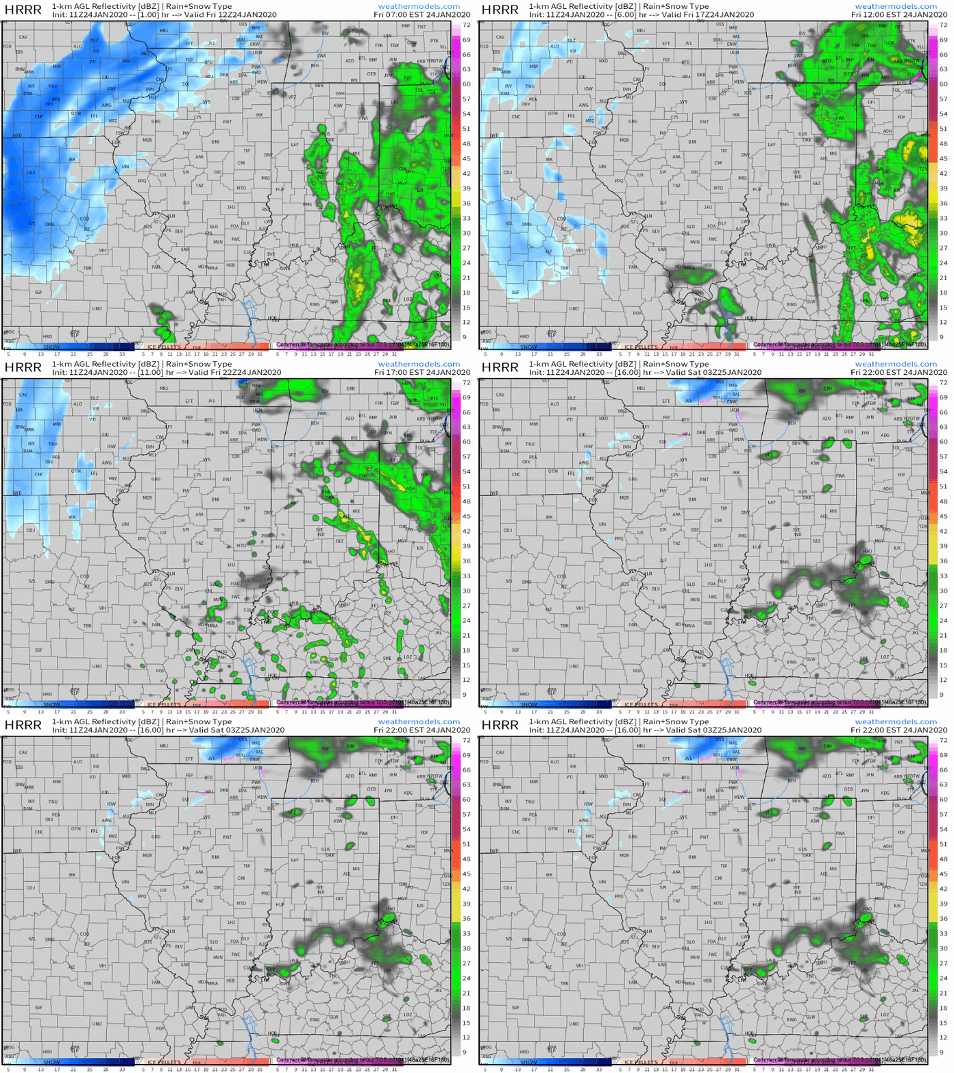
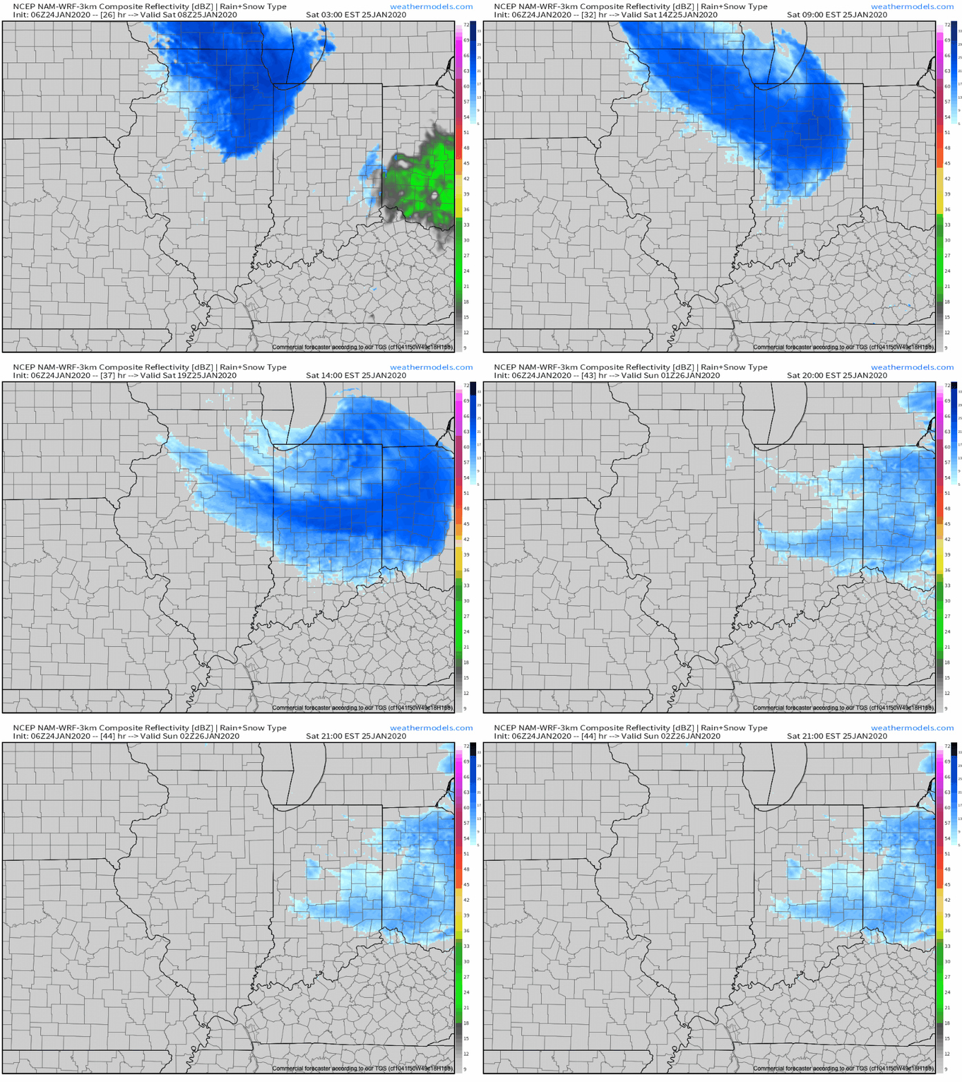
An additional upper level disturbance will track southeast, skirting far northeastern parts of the area, and help generate a mixed rain or snow shower Saturday (again, not expected to be a big deal, locally).

Behind this system, a significant warm up will engulf the Ohio Valley, including a couple of days with highs between 50° and 55° early next week.
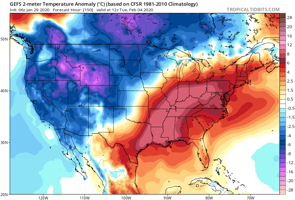
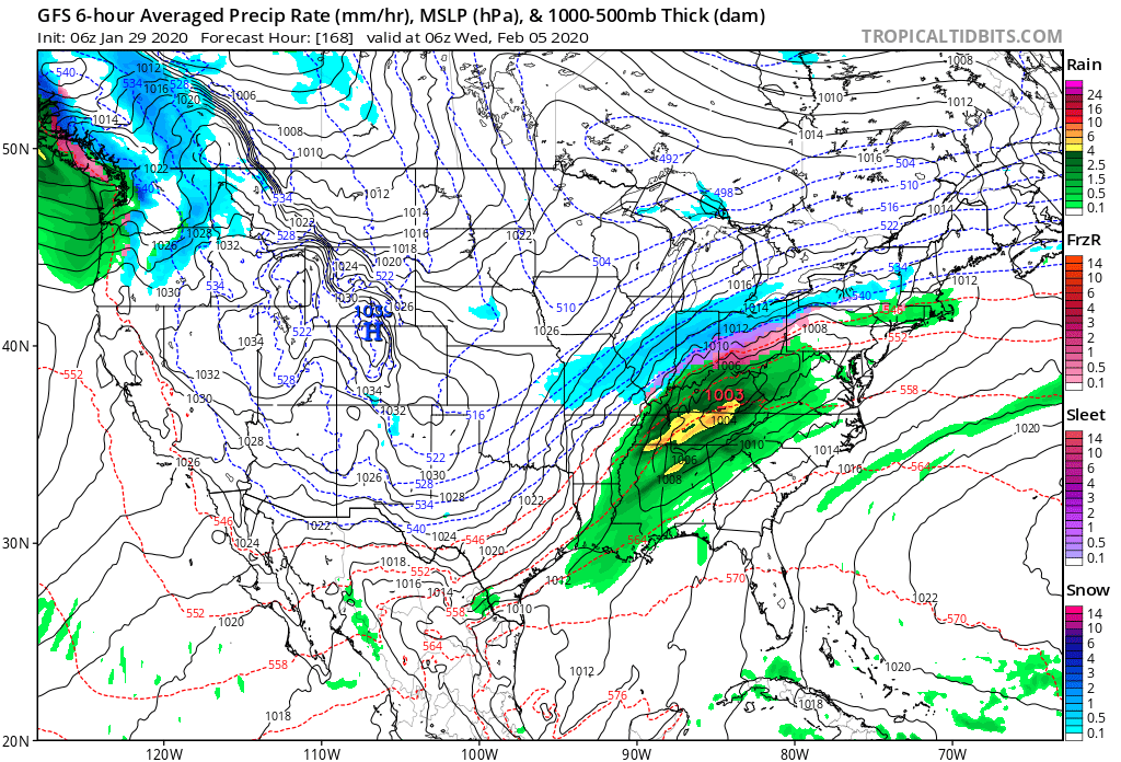
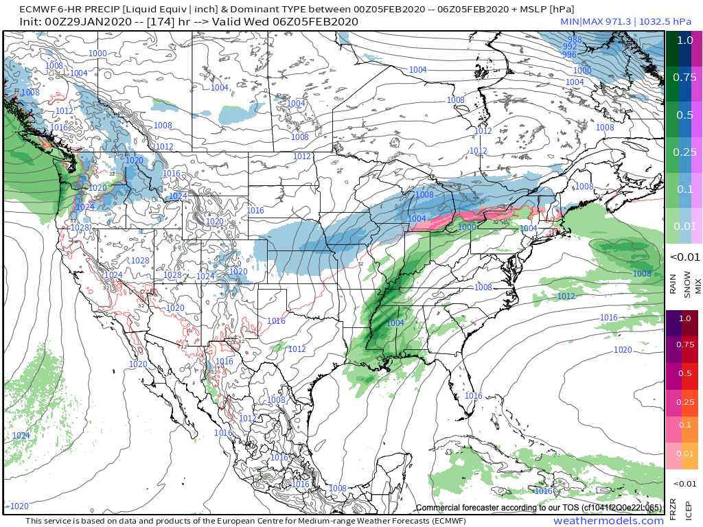
These spring-like temperatures will be in advance of a pressing cold front that will arrive on the scene during the middle part of the work week. As we’d imagine from this distance, modeling is handling the timing and specifics of the frontal system differently (image 1- GFS is more progressive and colder while image 2-the European is much slower/ warmer). We’ll take the next couple of days to sort through the details and have a higher level of confidence going into the weekend.
We’ll also have our February Outlook posted here tomorrow as part of Thursday’s long range video update.