You must be logged in to view this content. Click Here to become a member of IndyWX.com for full access. Already a member of IndyWx.com All-Access? Log-in here.
We may only be a few weeks away from meteorological summer, but you wouldn’t know it. Instead, we’re talking about the potential of wet snow mixing in with a cold rain to close the work week and threat of lows falling into the 20s Saturday morning!
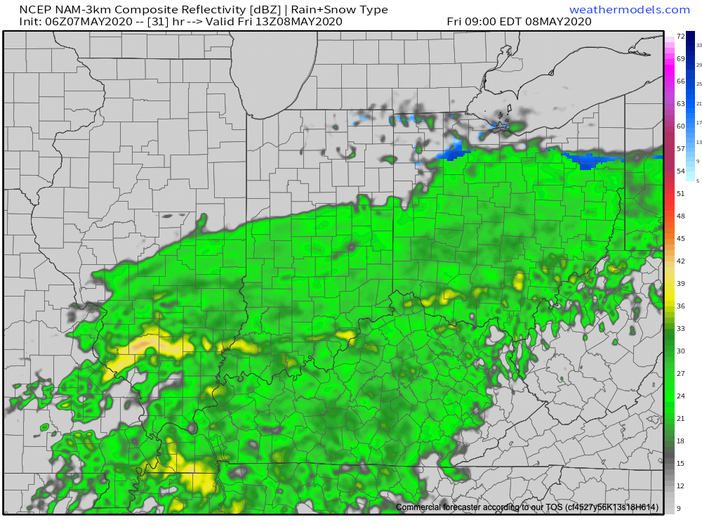
A strong cold front will settle south across the Ohio Valley Friday morning. In response to the front moving south, surface low pressure will organize along the boundary across the TN Valley Friday morning before roaring northeast and off the New England coast Saturday morning.
Widespread light rain will overspread the southern half of the state during the wee morning hours Friday, continuing into the mid to late morning before pushing off to the east. This will be a cold rain and may even mix with wet snowflakes at times before ending.
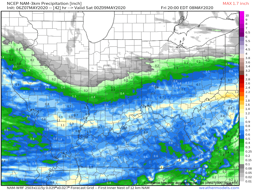
This won’t be a huge precipitation producer across central Indiana with most checking in between 0.10″ and 0.25″ (heavier amounts expected across southern Indiana).
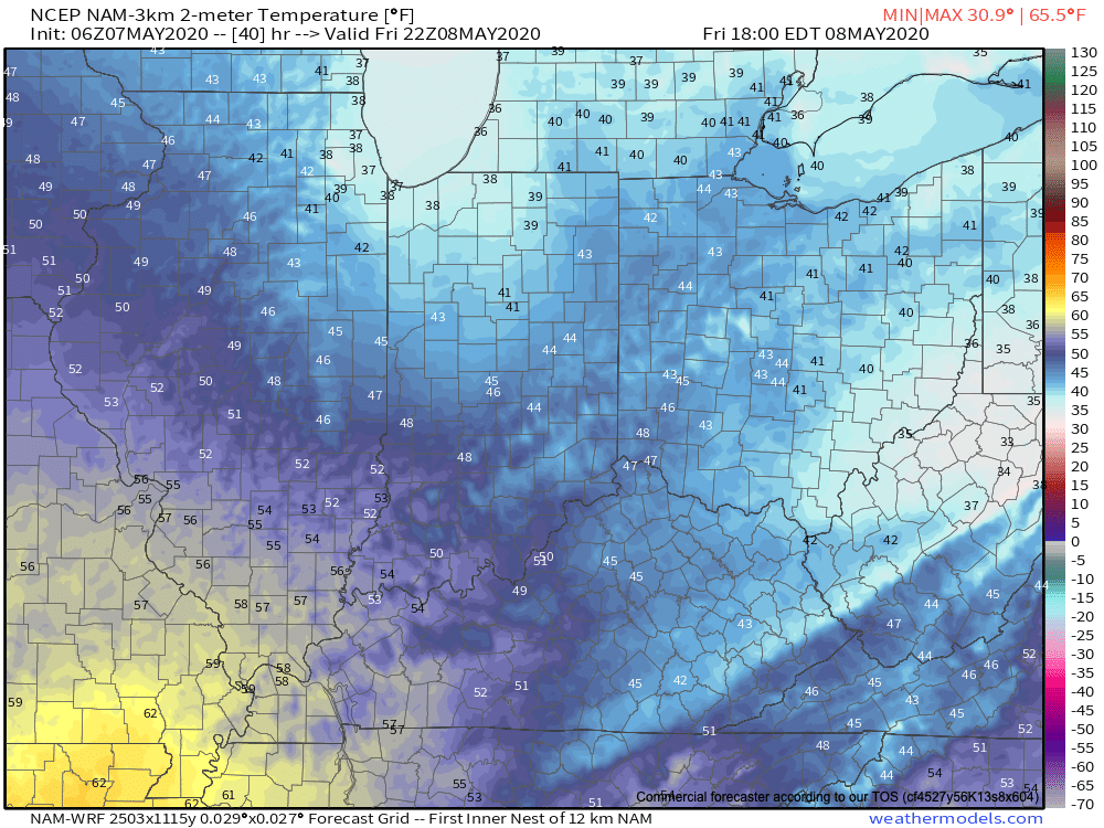
Temperatures will slowly fall through the 40s during the daytime Friday. (Yes, we’re talking about May 8th)!
That then sets us up to at least be in position to break the all-time record low for the month of May (28° set in 1966). This will be an airmass with arctic origins and if high pressure can clear us out in time Friday night, overnight lows by Saturday morning are likely to fall into the upper 20s. High resolution guidance takes IND to between 26° and 27° while the European data remains consistent at 28°. Regardless, this will be “rare air” for so late in the season. Those with ag interests should use today to prepare for a hard freeze Friday night into Saturday morning.
Looking ahead, the bulk of the upcoming 7-day period will remain much cooler than average, but there are at least hints of a potential pattern change during the 8-10 day period. The European data is much warmer than the GEFS or new JMA Weeklies that are in-house. Additionally, the teleconnections don’t scream an all-out pattern change. Regardless, a period of moderation would certainly be welcome after this unusually chilly spell. We’ll have much more on this later today with our long range video update. Stay tuned.
You must be logged in to view this content. Click Here to become a member of IndyWX.com for full access. Already a member of IndyWx.com All-Access? Log-in here.
You must be logged in to view this content. Click Here to become a member of IndyWX.com for full access. Already a member of IndyWx.com All-Access? Log-in here.
You must be logged in to view this content. Click Here to become a member of IndyWX.com for full access. Already a member of IndyWx.com All-Access? Log-in here.