Weekly #AGwx And #Severe Weather Outlook…
Updated 04.08.24 @ 6:30p
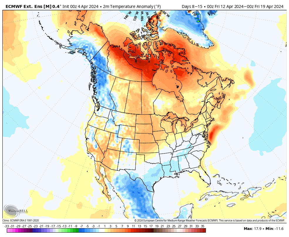
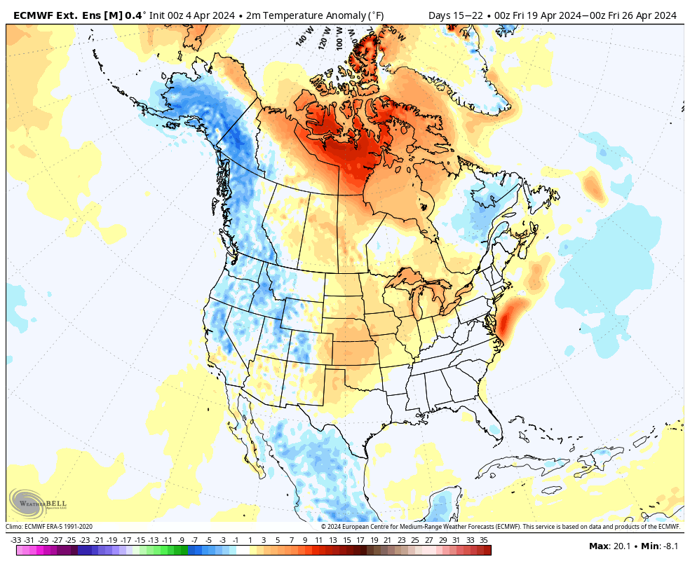
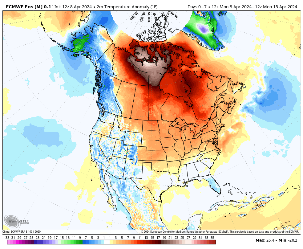
We’re running a little more than 3° below normal to open the month, but changes are in the offing. The majority of the upcoming 7-day period should feature seasonal to above normal temperatures and that will likely only strengthen into the Week 2 timeframe.
Unfortunately, we have a big rain event set to unfold as we roll through the middle of the week. Rain (more “showery” in nature) will continue as we close out the work week before a gorgeous Saturday.

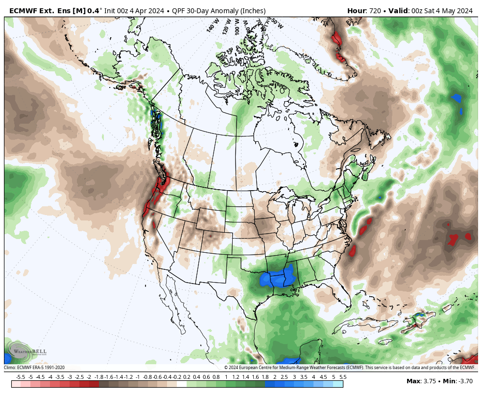
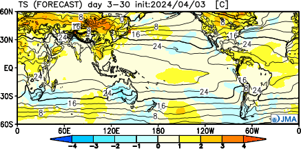
Our expected active spring will remain intact over the next couple weeks, including an overall above average look in the rainfall department.
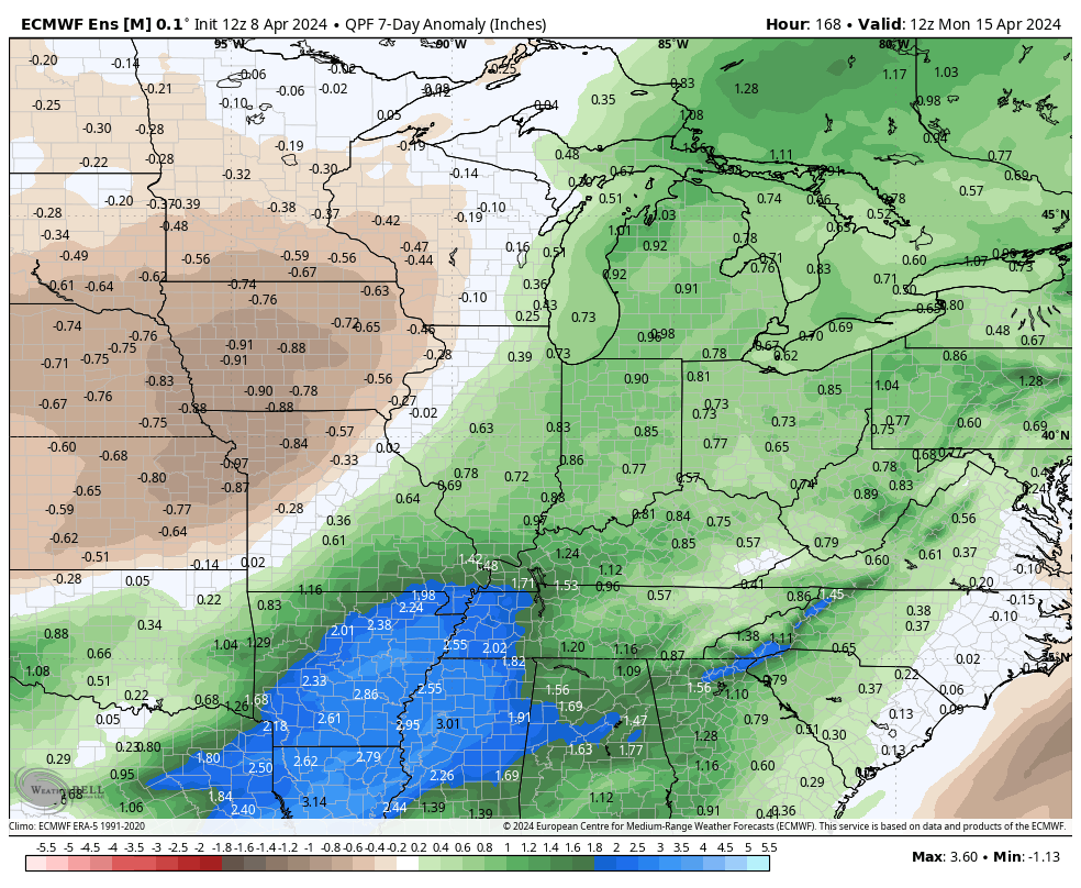
In the short-term period, this is highlighted between what falls Wednesday-Friday.
Though severe weather won’t be a concern, heavy rain will during the aforementioned timeframe. We still think widespread 1.5”+ amounts are likely for many area rain gauges. As of now, severe weather isn’t expected, locally, based on the SLP track. Further east into Ohio, a few severe storms will be on the table. We’ll monitor for any last minute west adjustments leading into the system.
Widespread, soaking rains will turn more “showery” in nature Friday before dry air takes firm control and provides a pleasant Saturday.

Don’t get used to the dry weather. Despite the warmer trend, another round of rain and storms can be expected the 2nd half of the weekend into early next week.
Upcoming *10-Day Rainfall Projection: 1.5” to 2.5”