Updated 12.04.21 @ 7:50a
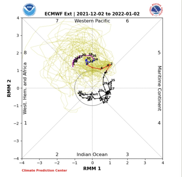
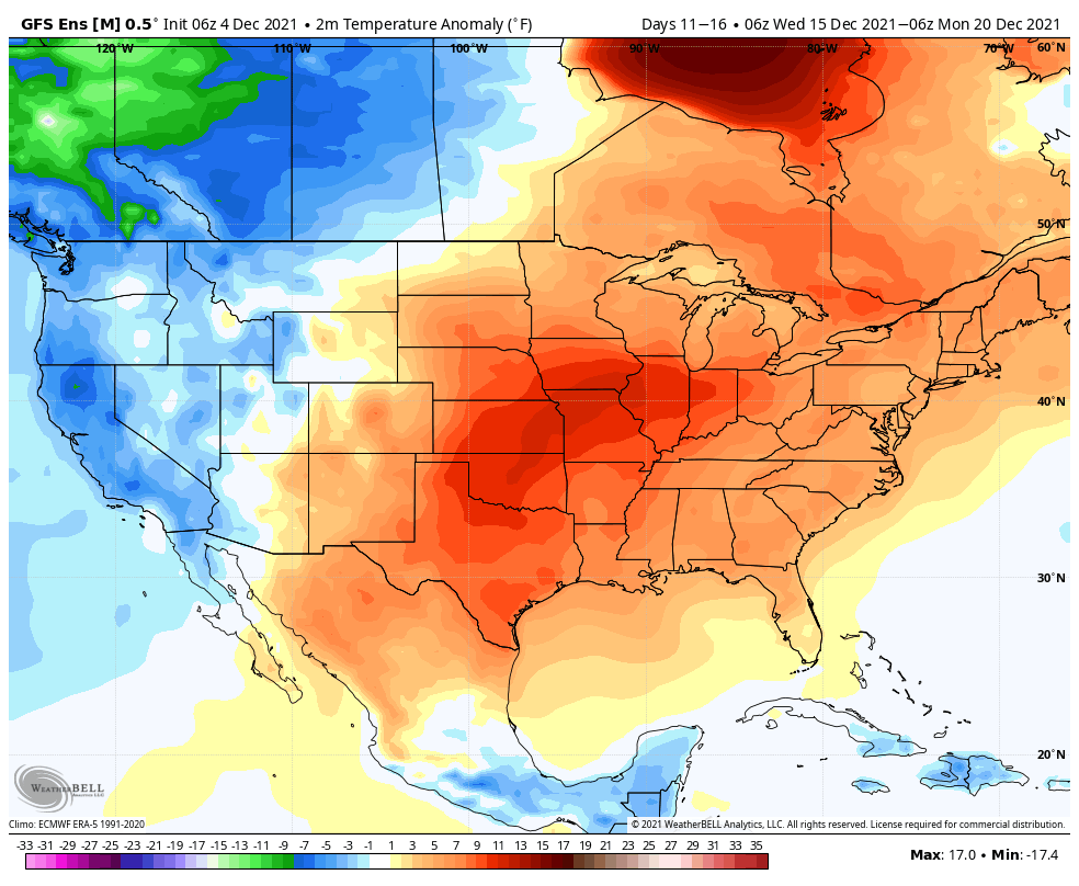
With a current combo of the PNA, EPO, and Phase 6 of the MJO, there will be absolutely no denying a period of significant warmth (for the time of year) over the coming couple of weeks- especially during the Week 2 timeframe.
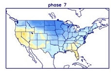
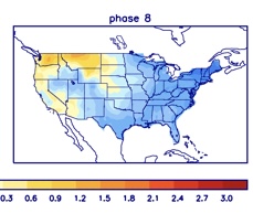
What we now look ahead towards is if, indeed, we can get the MJO into Phase 7 and, if so, with staying power. If so, do we continue to rumble into Phase 8 or try and sneak back into Phase 6? Those are questions that will be answered in the coming weeks and be a big reason in either pulling in a rather significant pattern shift towards cold, or keep things on the milder side. The hunch here is that we will get into 7 and 8, but the duration is in question. In any event, these are the temperature composites in Phase 7 (December) and Phase 8 (January).
In any event, one can see the potential on the table…
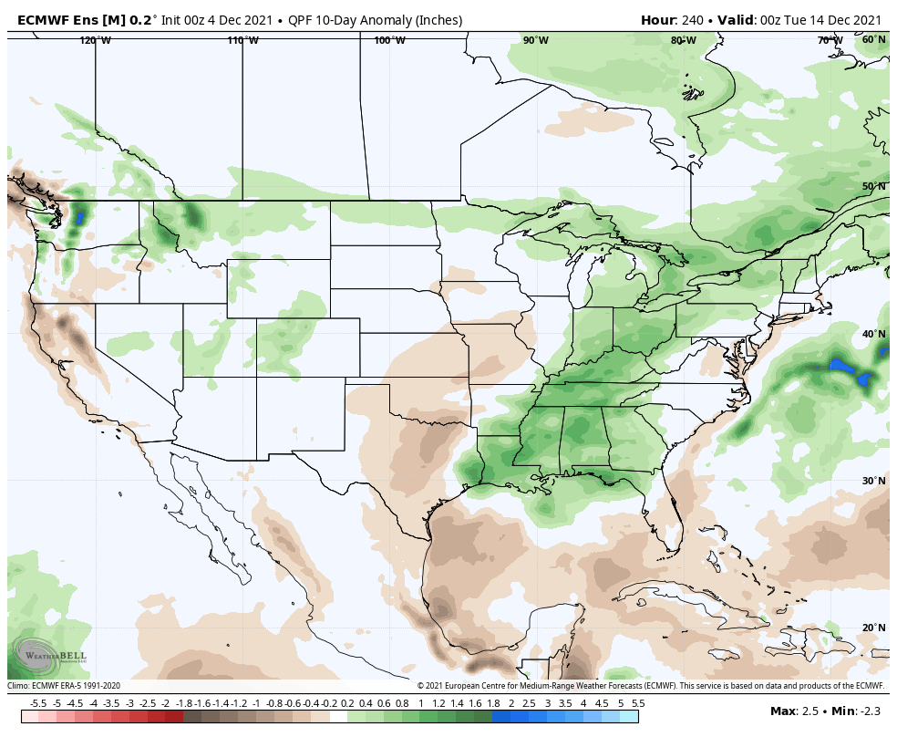
In the shorter term, the pattern in the week to 10 days ahead will take a turn towards the more active. Sunday will feature the first of (3) storm systems we’re tracking in the upcoming week, including the opportunity of wintry weather (more on that later this wknd) Tuesday into early Wednesday.