All Eyes On The Weekend…

Updated 05.23.23 @ 7:56a

As the old saying goes, there’s no reason to waste any pixels on the short-term forecast through Friday. We’re simply on “cruise control” as a dry frontal passage serves up some reinforcing cool Canadian air.

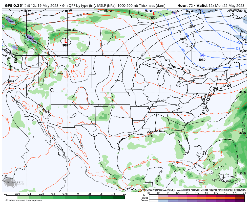
Things become a bit more tricky as we get into the all-important weekend though, thanks to the potential influence of an upper level low and additional upper air disturbances scooting in from the west.

As of now, the call remains for dry weather to hold across central Indiana through the holiday weekend, but we’ll be keeping close eyes on both features above for the threat of any last minute changes.

Unlike many similar setups in years past, the local airmass will be much drier than normal so it’ll take a lot for big changes to take place for the wetter. That said, given all going on between Friday and Monday, we’ll continue to closely monitor. If (big “if”) rain chances need to be introduced, it appears as if Sunday evening into Sunday night would offer up the best opportunity for a few showers.
VIDEO: All Is Quiet On The Home Front; Taking A Step Back In The Temperature Department Midweek…

Updated 05.21.23 @ 11:17a

You must be logged in to view this content. Click Here to become a member of IndyWX.com for full access.  Already a member of IndyWx.com All-Access?  Log-in here.

Extended Period Of Dry Weather; Warming Trend Next Week…

Updated 05.20.23 @ 6a

A cold front settled south across Indiana Friday evening. Most area rain gauges picked up anywhere between a tenth and 1/3 of an inch but a few lucky neighborhoods cashed in on up to half an inch. Whatever amount of rain you received last night, cherish it.

As we look forward, an extended dry period and quiet weather can be expected. This overall dry, calm pattern will prevail through the entire week ahead. As moisture levels slowly begin to increase over the holiday and all-important Indy 500 weekend, small rain chances may sneak back into the forecast, but even this is very unlikely from this distance.

High pressure will result in dry skies and plenty of sunshine in the week ahead (despite some haze from time to time, courtesy of those Canadian wild fires).

The focus is really just on temperatures over the next few days. The cool and dry airmass that reinforced itself behind our frontal passage will remain in control through Monday and then we’ll see moderating temperatures through the upcoming work week. Despite the temperature “uptick,” dry air will remain in place through the week. Great times for outdoor activities, no doubt, in the week ahead.

VIDEO: Evening Storms Followed By An Extended Dry Period; Heat Is On For The Memorial Day Weekend…

Updated 05.19.23 @ 7:32a

You must be logged in to view this content. Click Here to become a member of IndyWX.com for full access.  Already a member of IndyWx.com All-Access?  Log-in here.