Colder Pattern Ahead To Close October; Open November?
October, month-to-date, has been nothing short of a blow torch. Officially, IND is running +9° through the 11th.
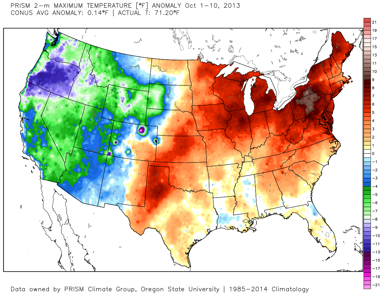
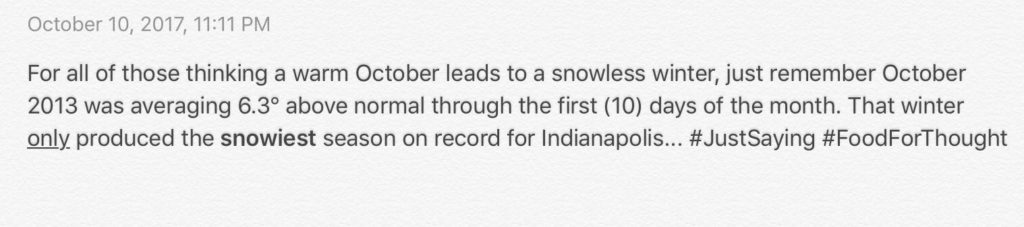
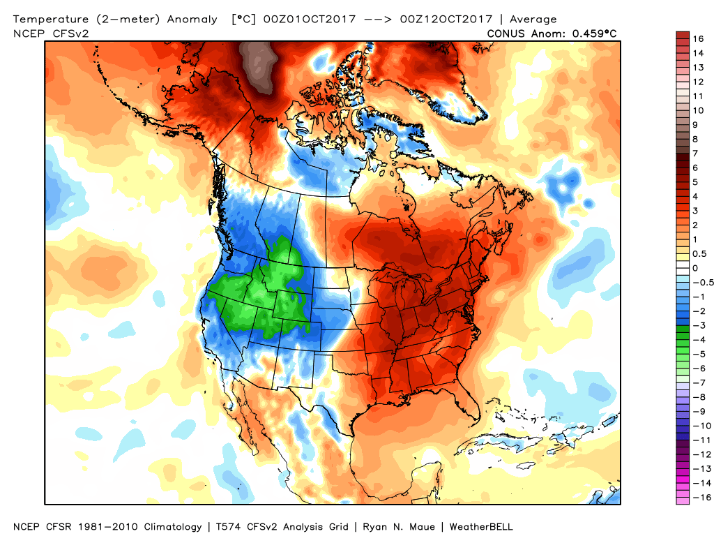 In coffee shops and my travels around the great state of Indiana, I’ve overheard lots of talk centered on because October has been so warm, another lackluster snow season awaits. Let us remind you that the infamous snow season of ’13-’14 featured a very warm first half of October.
 The upcoming 7-10 days will feature more of a transitional period of weather that we’ve come to know and love around these parts. Warmth will spread northeast this weekend ahead of an approaching cold front (around 80° Saturday) before falling temperatures Sunday afternoon behind the frontal passage. The chilliest air so far this season will descend upon the region early next week. That said, the chill won’t hold and another surge of above normal warmth will spread northeast by the latter parts of next week.
A more significant pattern change appears dialed up prior to Halloween and this is one that seems suited to lead to more prolonged and significant cold to wrap up the month and head on into November. Notice the evolution of things from October 21st to the 25th, courtesy of the GEFS off the fantastic tropicaltidbits.com. Other model data is in general agreement, leading to a rather high confidence level for this time period.
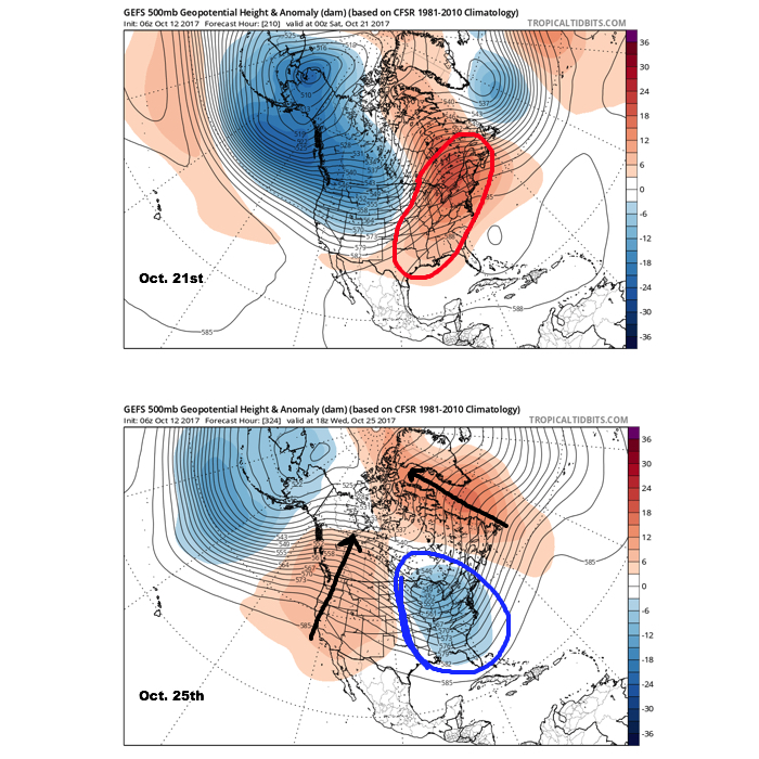 It should also be noted that analog data and research also would lean heavily in the cold direction to wrap up October and these findings also favor a chilly November… More on that later! Speaking of later, an updated 7-day will be posted this evening. Make it a great day!
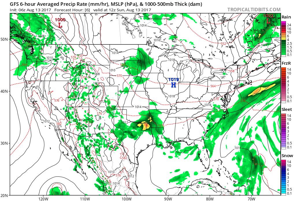
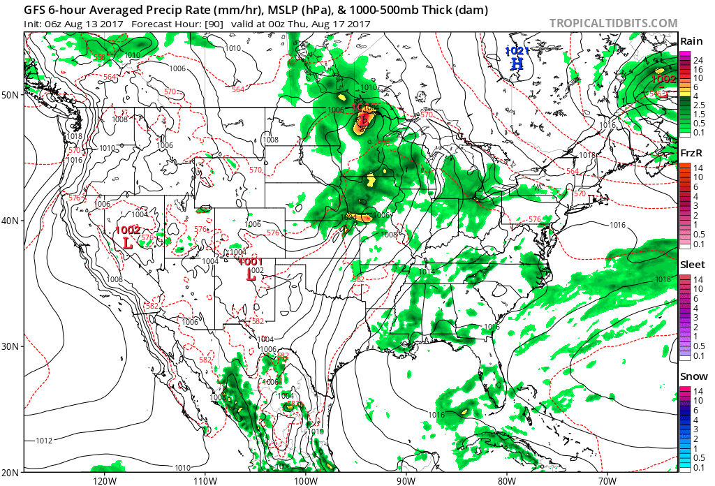
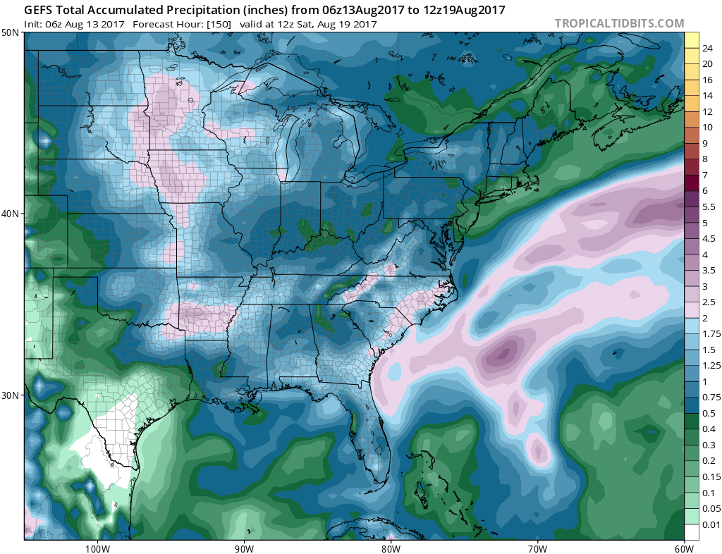 As of now, we think the cold front will pass Friday evening and set-up another pleasant weekend with seasonable temperatures. The stretch of gorgeous August weekends’ appears to roll along.
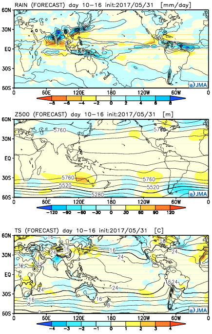
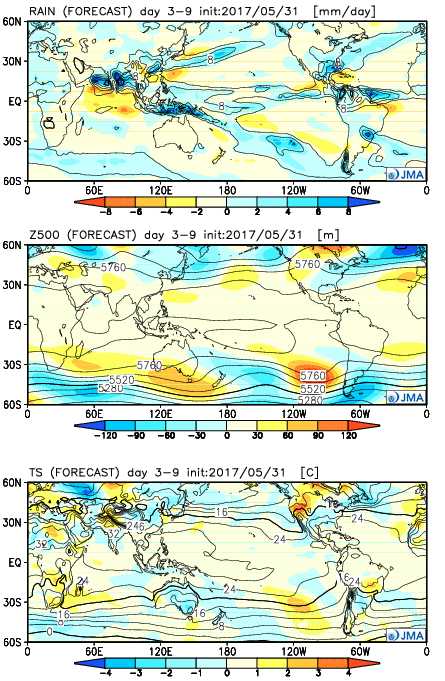 Week 2:
 Weeks 3-4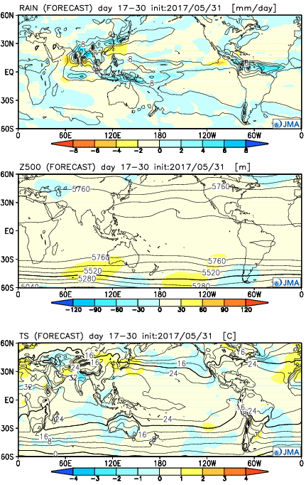
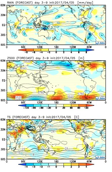 Week 2:
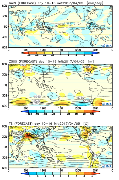 Weeks 3-4:
 The big picture is one that shows a drier pattern developing across the East during Week 1, but we caution that this drier regime doesn’t look to “lock” in. Data suggests we get back to an active pattern between Week’s 2-4, biased wetter than normal in the Mid West and Plains. The other screaming message is that a busy severe season should continue through the period. Cold sets up across the Pacific Northwest, associated with the “mean” trough position, while spring-like warmth continues to build across our region in overall terms. We know what that means as storms eject off the Rockies and track east…