
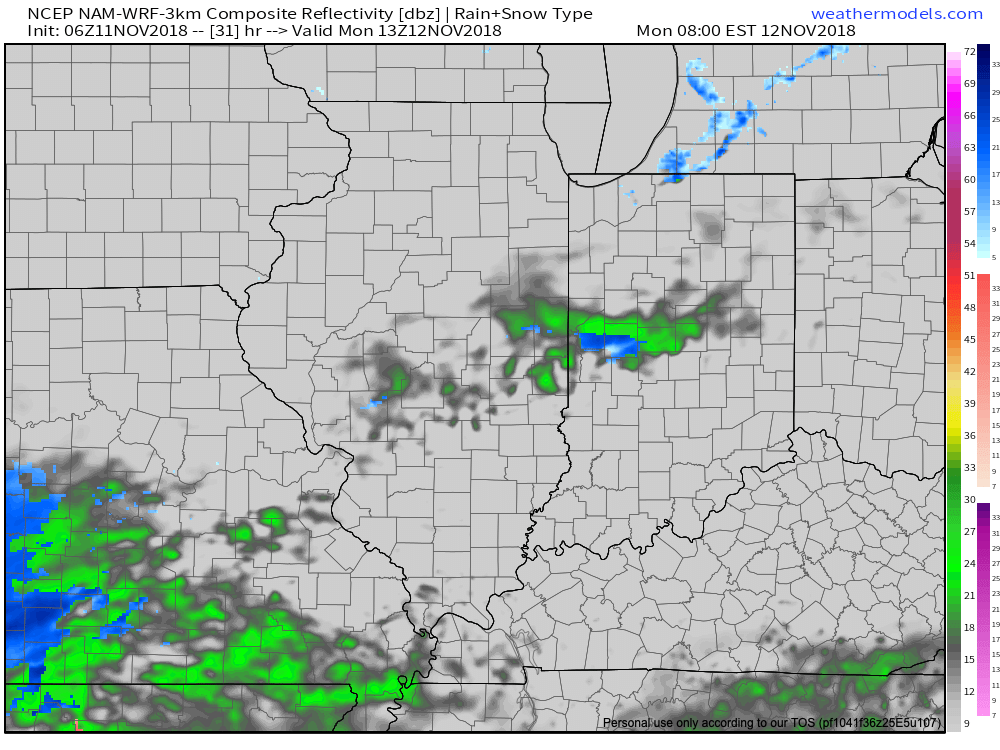
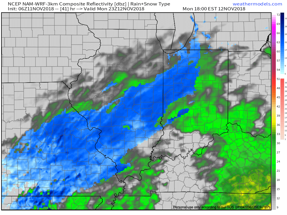
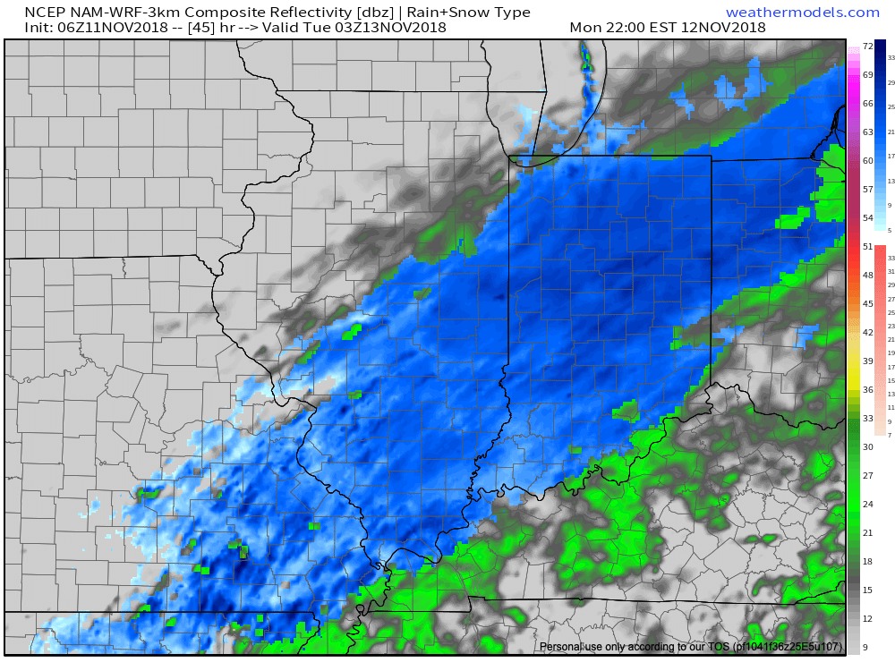
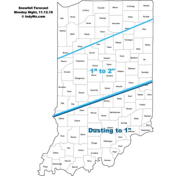
I. A weak weather system will result in light precipitation (mostly snow) overspreading central and northern portions of the state later this evening into the overnight. Moisture looks less and less impressive with each and every model run, but we’ll still go with a slushy coating to less than 1″ for the city, itself with a general 1″ to 2″ of wet snow for communities off to the north of the city. Additionally, a lake effect snow band should get going Tuesday morning and this band may make it south into east-central Indiana in a weakened state.

Light snow will overspread the region tonight. Image courtesy of Weathermodels.com.
 II. Another push of unseasonably cold air will pour south into the region behind this storm system and set the stage for a potentially interesting time of things when a new storm system approaches a bit later in the week…
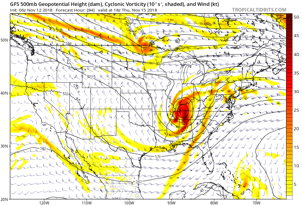
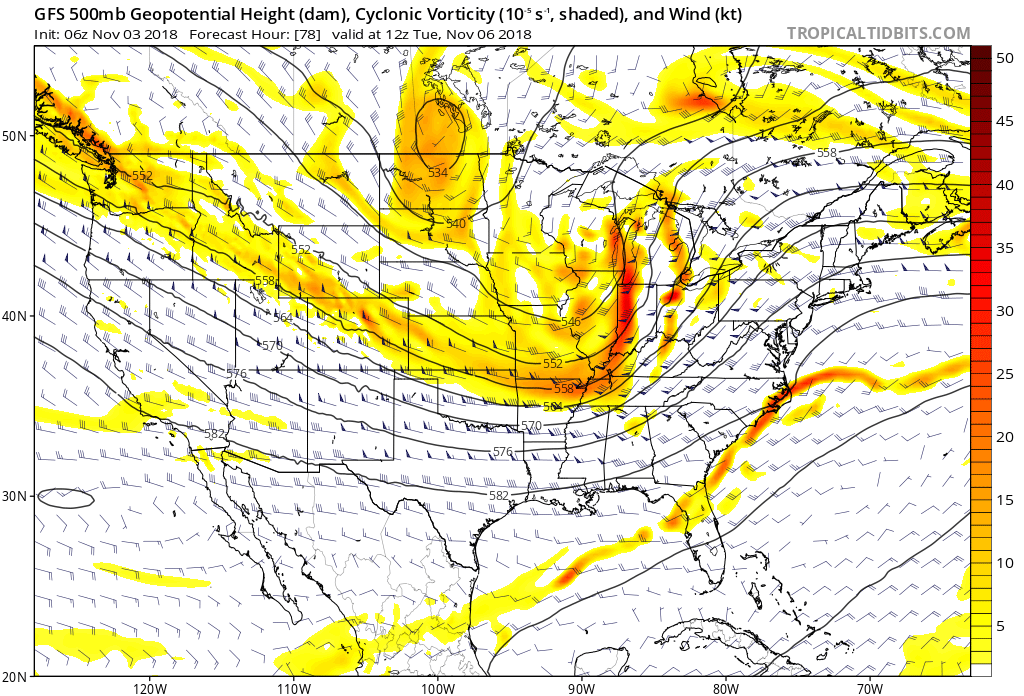
 III. A very complex storm system will impact the area Thursday. While there are many details that are yet to be worked out, someone across the mid-south into the Ohio Valley will likely get a “plowable” snow out of this event. Initially, available cold air will be marginal, but with an expected strong upper level low, this storm system is likely to “manufacture” its’ own cold air and result in a swath of heavy, wet snow to the north and northwest of where the upper low tracks. Stay tuned.
 Behind this storm, you guessed it- cold air will reinforce itself across the region heading into next weekend!
 We’re left with unseasonably cold conditions through the remainder of the week, followed by reinforcing cold air arriving next weekend…
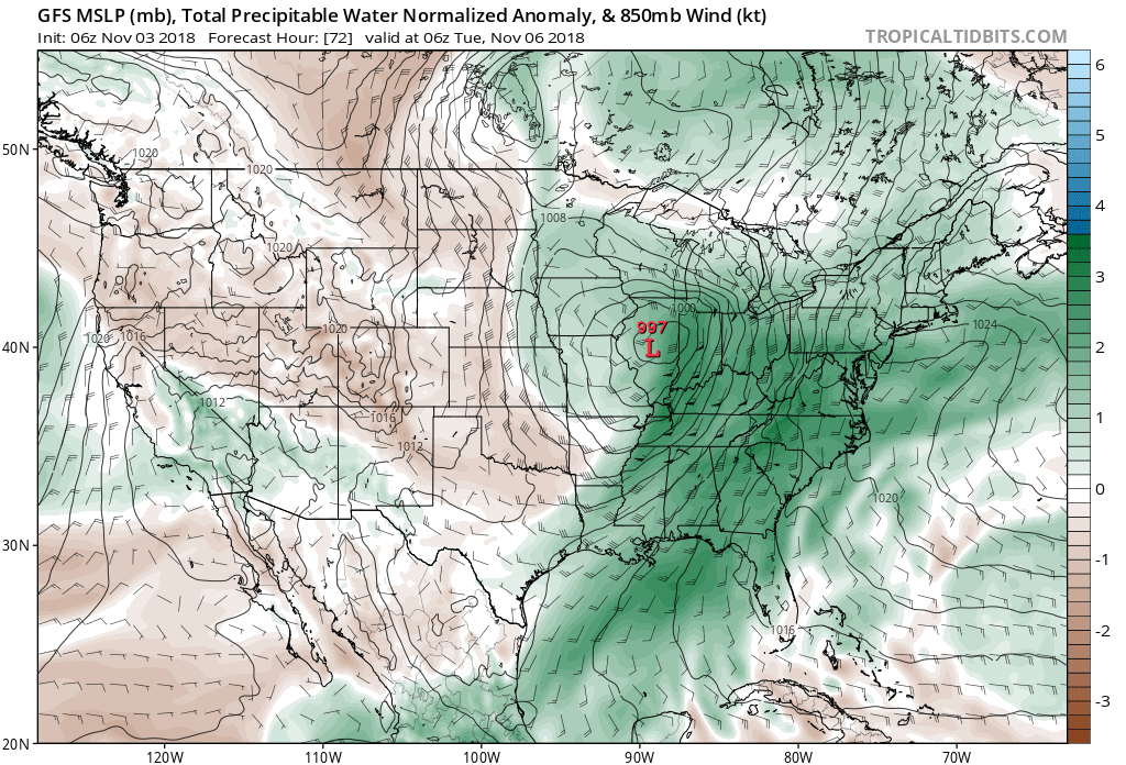
 Additional rainfall totals of 1″ to 2″ with locally heavier amounts are a good bet in that Monday night – Tuesday time frame.
 While we’ll certainly turn colder behind this storm system, the true early season push of arctic air will wait a couple of days to arrive- Thursday afternoon into Friday. Not only will this be the coldest air of the season (lower-middle 20s Friday morning and likely colder next Saturday), but the first flakes of the season are also likely to fly across central Indiana to wrap up the work week. Furthermore,
  Don’t look now, but more “fun and games” await the following week…