LR Update: Thanksgiving And Early December…
Updated 11.09.23 @ 10:49a
With Thanksgiving only 2 weeks from today (incredibly hard to believe), we’re able to start to get a better idea on the overall weather pattern as the “official” kickoff to the holiday season nears. The first point we want to drive home is that we should begin to see a much more active regime evolve during this 2 week period. From a temperature perspective, the pattern overall continues to look milder than average, but there will be a couple opportunities for transient pops of colder air, potentially around the all-important Thanksgiving holiday, itself.
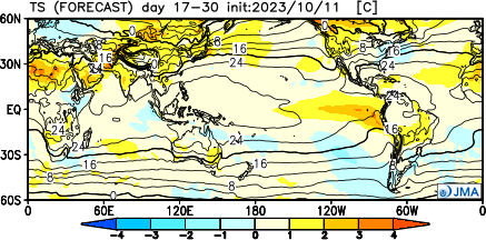
Note how modeling sees the more active pattern evolving over the next 3-4 weeks (green represents above normal precipitation). – A significant change not only for our neck of the woods but certainly for our friends and neighbors down south (badly needed for a region suffering an expanding drought. Speaking of which, all of the dry/ droughty southern tier should reverse in significant fashion as the active Nino storm track gets going over the coming months. As the pattern continues to evolve into the ‘24 spring and summer, the south-central severe drought will be erased.

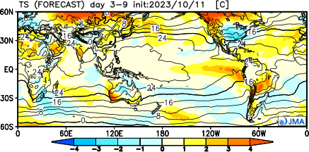
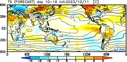
Despite attempts of troughs to roll into the Ohio Valley, they will struggle with staying power over the next 3-4 weeks. The latest JMA Weekly product and Euro/ GFS ensemble blend looks very solid given where the pattern drivers currently reside.
Week 1

Week 2

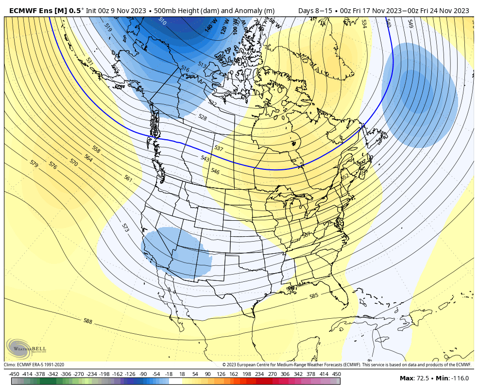
Weeks 3-4

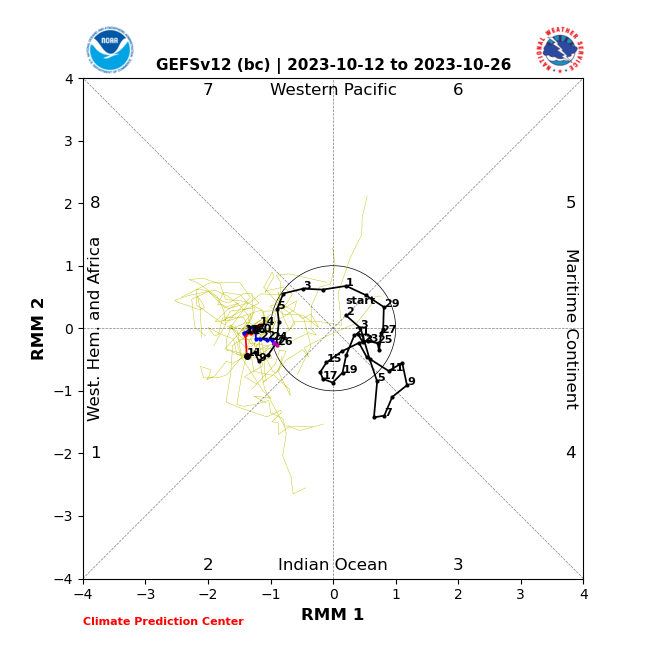
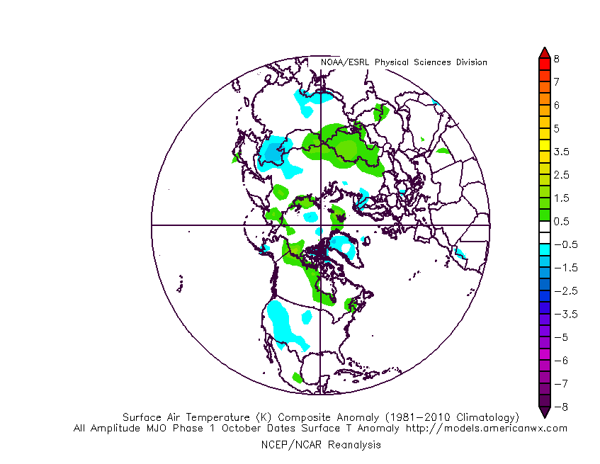
The pattern drivers of a primarily positive EPO, negative PNA, and MJO in 8/1 (all unchanged from our post earlier this week) all suggest a predominant eastern ridge, western trough placement over the upcoming 2-3 weeks.
We’ll continue to keep close tabs on the regime, especially centered on 11/22 – 11/26.
Make it a great Thursday!
Side note: Confidence is increasing that this Nino will evolve into a central-based event which will up the chances of colder/ snowier prospects come late December and on into January. More on that later next week in a more extensive update specific to this transition.