You must be logged in to view this content. Click Here to become a member of IndyWX.com for full access. Already a member of IndyWx.com All-Access? Log-in here.
Category: Ice Storm
Permanent link to this article: https://indywx.com/video-icy-snow-night-ahead-late-week-winter-storm/
Mar 02
A Lot To Discuss…
Good evening, friends! As promised, there’s a lot on the weather menu over the course of the upcoming several days. Let’s get right into the details.
The National Weather Service has issued a Winter Weather Advisory from 3a-12p for all of the region to account for the sleet and freezing rain situation we’ll deal with late tonight into the first half of Tuesday. We still expect significant travel issues and overall impacts to the Tuesday morning commute.
Forecast radar shows freezing rain spreading into the region between 3 and 4am.
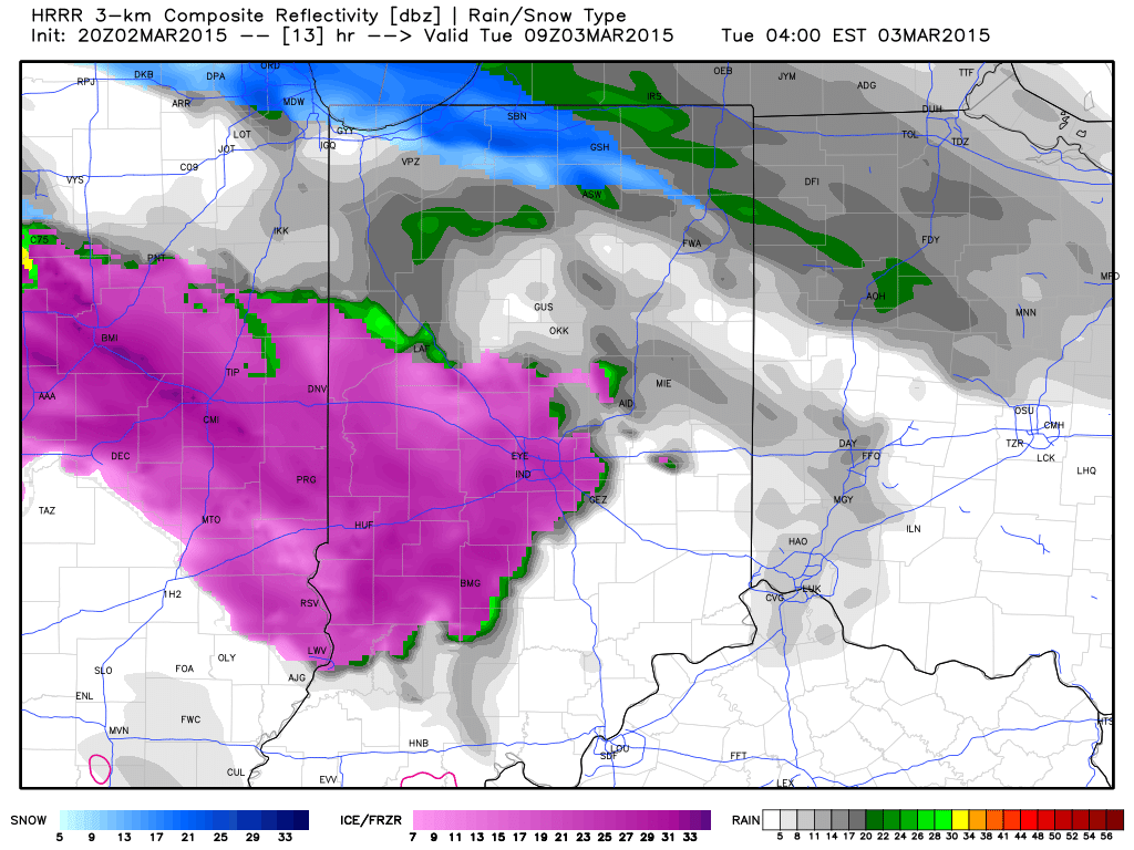 Light freezing rain and freezing drizzle will continue for the better part of the morning hours as temperatures likely won’t climb above freezing until early Tuesday afternoon, especially from Indianapolis and points northeast.
Forecast temperatures at 12p Tuesday.
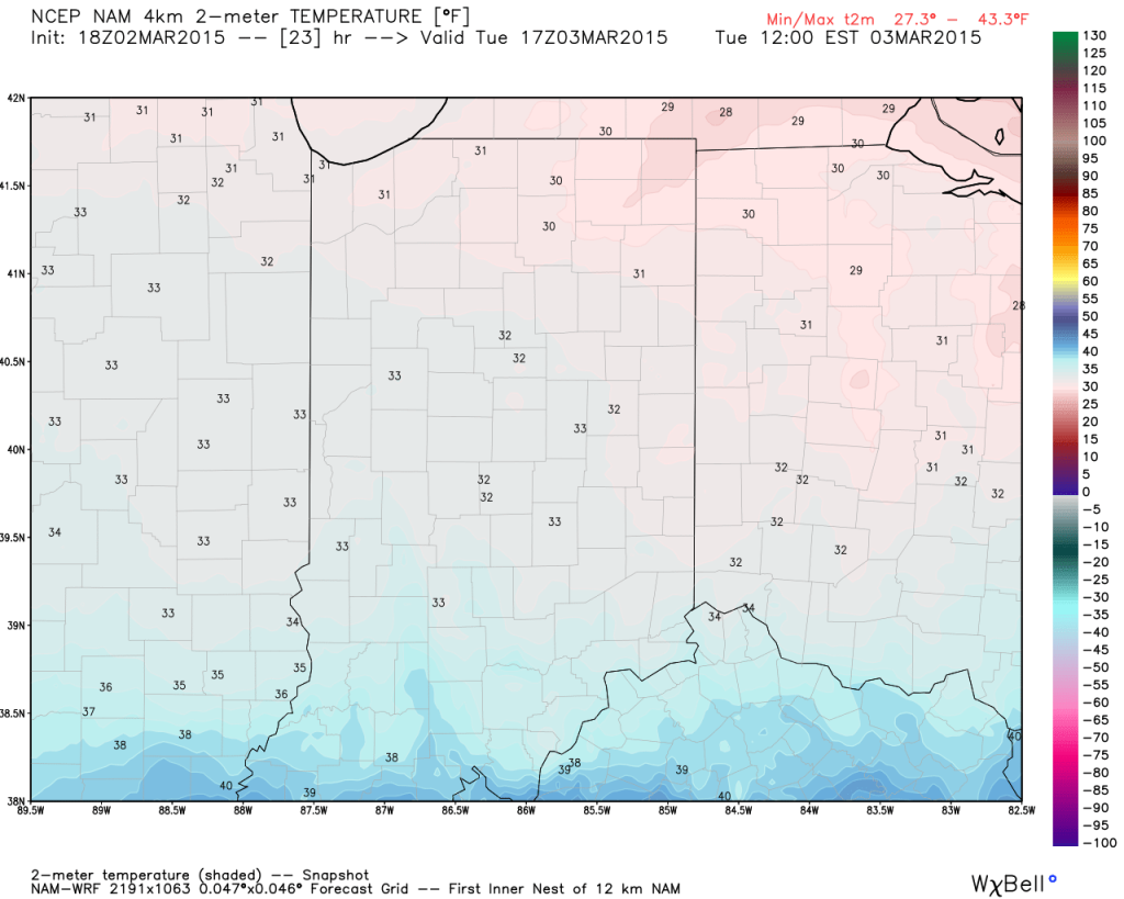 We still don’t anticipate many big time flooding concerns as a.) temperatures won’t warm all that much (we MAY reach 40 Tuesday evening, but that’s a big question mark) and b.) most of the heavy rain will remain south of central Indiana.
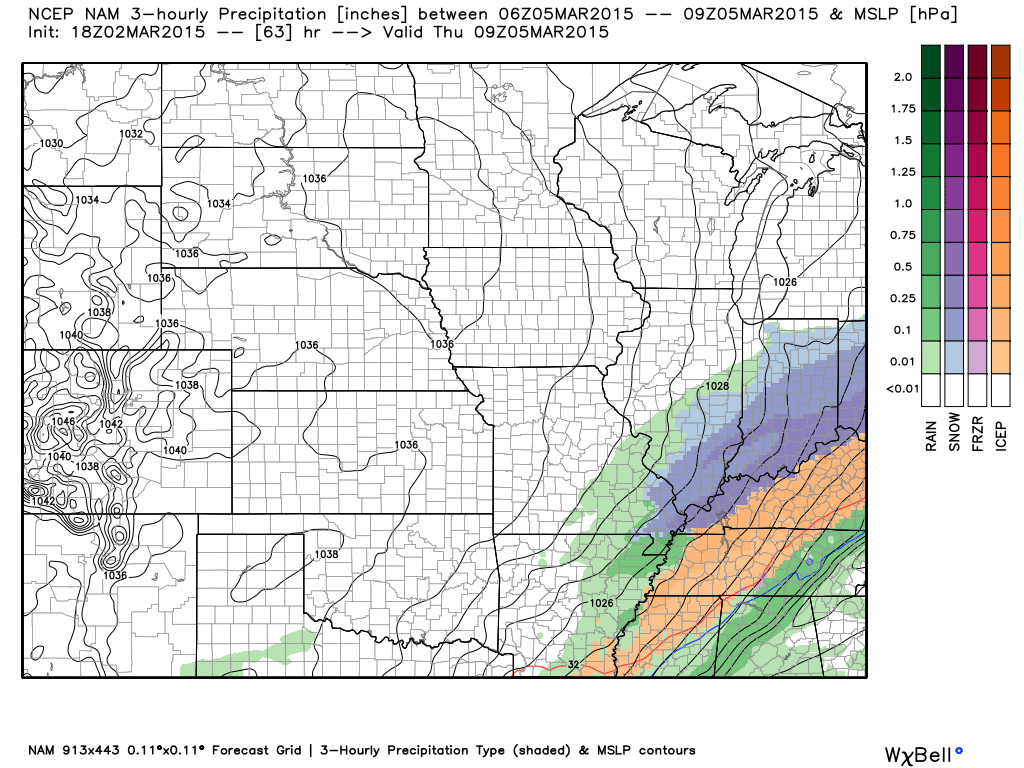
Here’s expected liquid-equivalent totals through Wednesday morning.
 The next concern is the threat of accumulating snow for central and southern portions of the state Wednesday afternoon through Thursday morning. Arctic high pressure will limit the northern extent of significant precipitation, but, as mentioned previously, energy rounding the base of the trough will ignite another wave of low pressure to move along the pressing arctic front. As of now, we target areas along and south of the I-70 corridor most under the gun for a potentially impactful snow storm Wednesday afternoon into early Thursday morning.
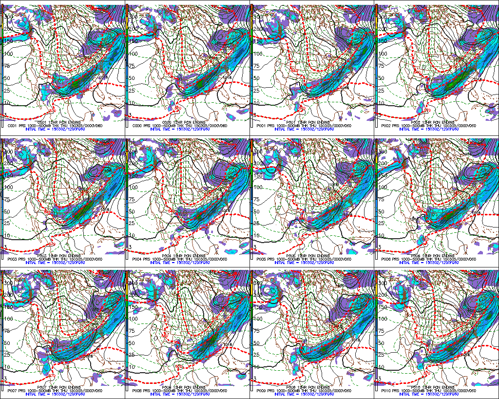
 The individual GFS ensemble members have also been trending north and overall more excited about snow prospects, as well.
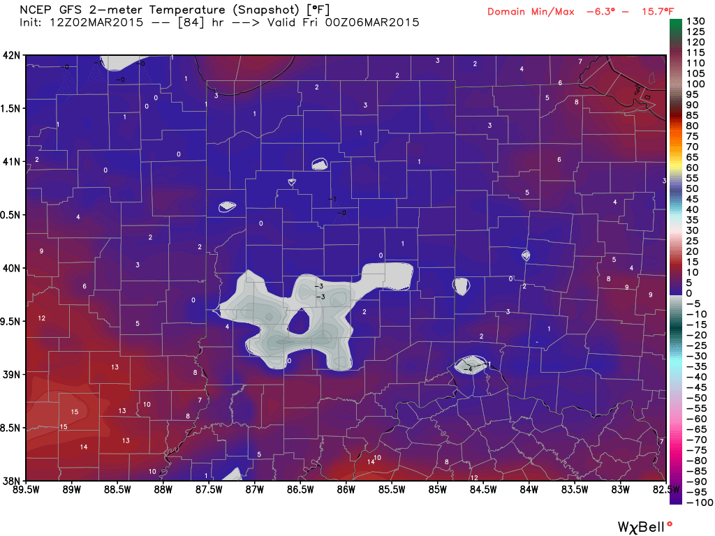
 The other item on the agenda is a shot of record cold in here for late week. Sub-zero lows are a good bet by Friday morning. Highs Thursday will push for a new record low maximum temperature.
Permanent link to this article: https://indywx.com/a-lot-to-discuss/
Jan 12
Turning Colder; Icy Mix To Light Snow Before Ending…
Greatest ice accumulations set up from Indianapolis and points north last night and this morning. Glaze reached just under one quarter inch here across southern Boone County.
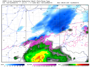
The icy mixture will transition to light snow before ending mid morning.
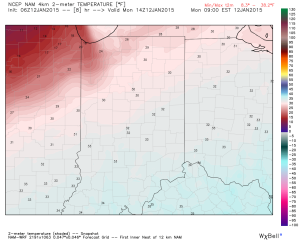
Temperatures will also be sliding backwards through the day. Morning highs in the lower 30s will fall into the 20s this afternoon.
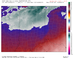
The big push of arctic air arrives tonight into Tuesday and sets the stage for widespread sub-zero lows Wednesday morning. Wind chills will, of course, be even colder (10 to 20 below zero).
We’ll be back later tonight to talk about what lies ahead in the longer term. Stay safe out there!
Permanent link to this article: https://indywx.com/turning-colder-icy-mix-to-light-snow-before-ending/
Jan 11
Ice Storm Warning…
Freezing rain (initially may be mixed with sleet) overspreads central Indiana between 1p-3p. We advise to get any and all travel done prior to 1p and plan to stay in…
You must be logged in to view this content. Click Here to become a member of IndyWX.com for full access. Already a member of IndyWx.com All-Access? Log-in here.
Permanent link to this article: https://indywx.com/ice-storm-warning/
Jan 10
Ice Storm For Some Sunday Evening; Late Night Thoughts…
Just a quick update to give you some fresh thoughts on the next winter storm that will impact central Indiana.
We bracket the hours of 1p-3p for the onset of sleet and freezing rain across central Indiana.
Coverage and intensity of freezing rain will increase as we progress through the evening hours. We suggest hunkering down at home (or at a loved ones home) for the Colts game, as roadways will likely become hazardous during the game.
Early data hot off the press this evening is suggesting Ice Storm Warning criteria (freezing rain amounts of 0.25″, or greater) is met through the heart of central Indiana.
A fresh push of cold, arctic, air will ooze back into central Indiana during the day Monday. We think overnight lows head back into the single digits Tuesday morning and below zero Wednesday morning. Needless to say, should power outages take place, a nasty situation will develop with the new push of cold air.
Please stay tuned to your favorite media or means of obtaining weather information, as this will be an impactful event for central Indiana tomorrow afternoon into Monday.
Permanent link to this article: https://indywx.com/ice-storm-for-some-sunday-evening-late-night-thoughts/

