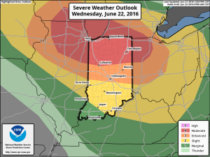
The SPC (Storm Prediction Center) maintains a significant severe weather risk across Indiana Wednesday. A Slight risk encompasses the southern portions of the state, while an Enhanced risk takes up residence across central Indiana. Finally, a Moderate risk is located across the northern third of the state. Given the latest data, we wouldn’t be surprised if a portion of the Enhanced/ Moderate risk areas are upgraded to a rare High risk during the early Wednesday morning SPC update. Regardless, we want to be very clear that Wednesday is a potentially dangerous weather day across Indiana.
 We won’t bore you with the meteorological ingredients/ lingo that are coming together to lead to an active Wednesday with this post, but please know that nearly all severe weather parameters point to the threat, and even likelihood, of an active day.
That said, there are unknowns. How does morning convection impact our ability to heat/ destabilize things during the afternoon? Are models underestimating the cold pool that will likely develop with the storms during the afternoon/ evening? If so, a further southeast track and more robust situation could unfold (when compared to what forecast radar products suggest as of this post Tuesday evening).
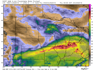
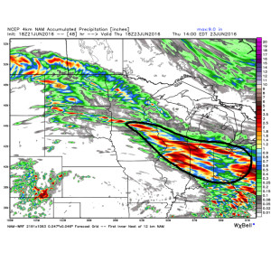
While all modes of severe weather are certainly possible, for our immediate region, we’re particularly concerned for the threat of widespread damaging winds and flash flooding. It wouldn’t surprise us if localized 3″+ amounts fall across portions of central and northern IN Wednesday. Precipitable water values (PWATs) surging to 2″+ give increased confidence on localized flash flooding, especially considering the recent wet times.
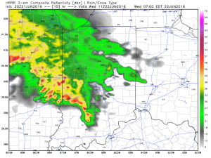
 The first of multiple storm clusters will likely be moving into central IN Wednesday morning. Here’s an idea of what the radar may look like around 7a.
 We think we undergo a “lull” in the action Wednesday afternoon before a potentially more serious complex of storms blows into town during the evening hours. We caution that we’re not as confident on specific timing with the evening round of storms.
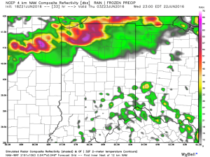
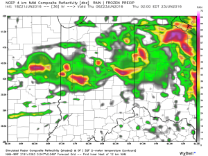 Current data would imply a tornado threat for areas from northern IL into northwestern IN with the afternoon/ evening convection before “morphing” into a more widespread damaging wind threat as the line propels southeast into the nighttime hours. Timing will have to be fine tuned as Wednesday morning arrives.
To close, if you take anything from this post, please understand the importance of knowing your family’s severe weather safety plan. Have a means of getting the latest watch and warning information from the National Weather Service and take any and all bulletins seriously.
Much more later!
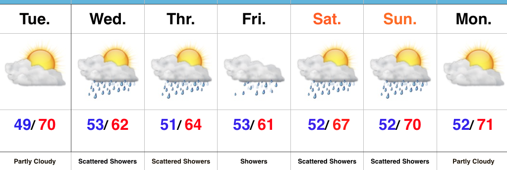 Highlights:
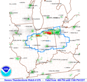 Damaging straight line winds and large hail are of biggest concern as these scattered strong to severe storms continue to advance southeast. This is all in association with a cold front moving into a very warm, moist, and unstable air mass.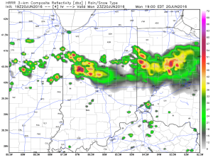
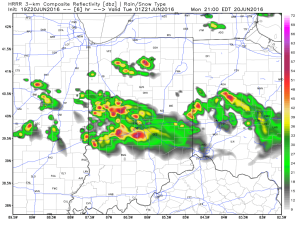 In addition to the hail and wind threat, locally torrential downpours are a good bet as precipitable water values (PWATs) approach 2″+ in some areas.
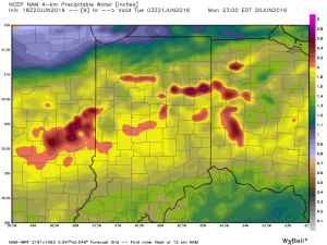 We’ll turn much quieter during the overnight as the cold front passes through the region. A northwest wind shift will allow a drier air mass to slip into central IN come Tuesday morning.