Jackets Required: Cool And Increasingly Wet Close To The Week…
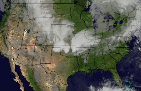
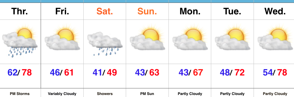
We’ll wrap the work week up with filtered morning sunshine, but clouds will quickly lower and thicken as the day progresses and give way to showers later tonight.
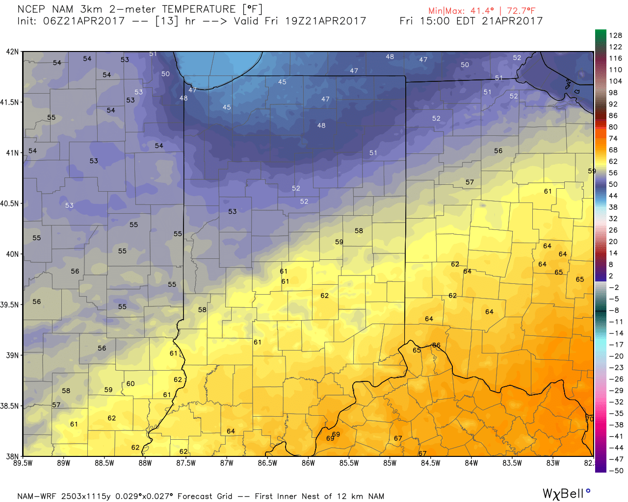
 It’ll be a much cooler day today (temperatures are running close to 20° cooler than this time Thursday morning) with highs only topping out around 60 for the city, itself, and only into the mid to upper 50s across north-central Indiana.
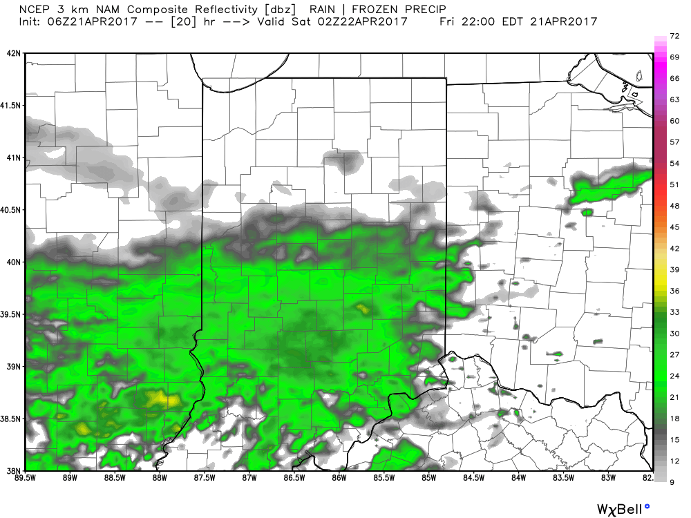
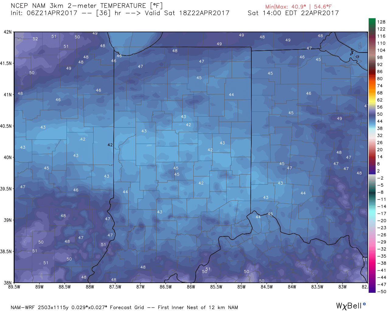
 More widespread rain showers will move in overnight into Saturday. Heaviest rain will fall across the southern half of the state (1″-2″ possible). Factor in a strong and gusty easterly wind, temperatures only in the 40s for much of the day, and periods of rain and you have the makings for a downright “raw” Saturday.
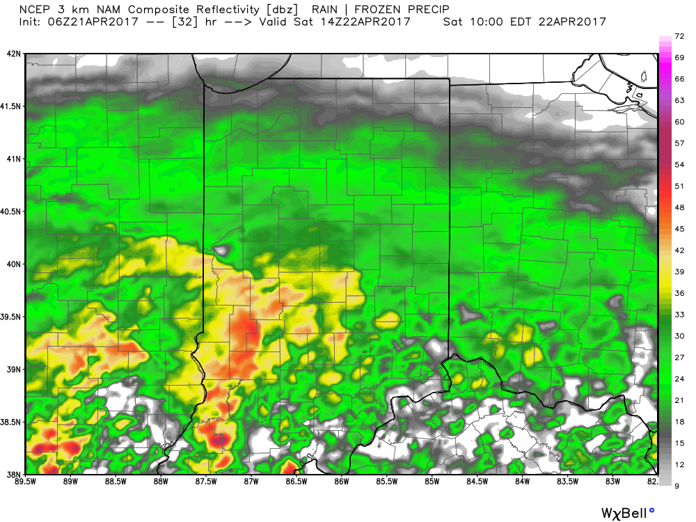
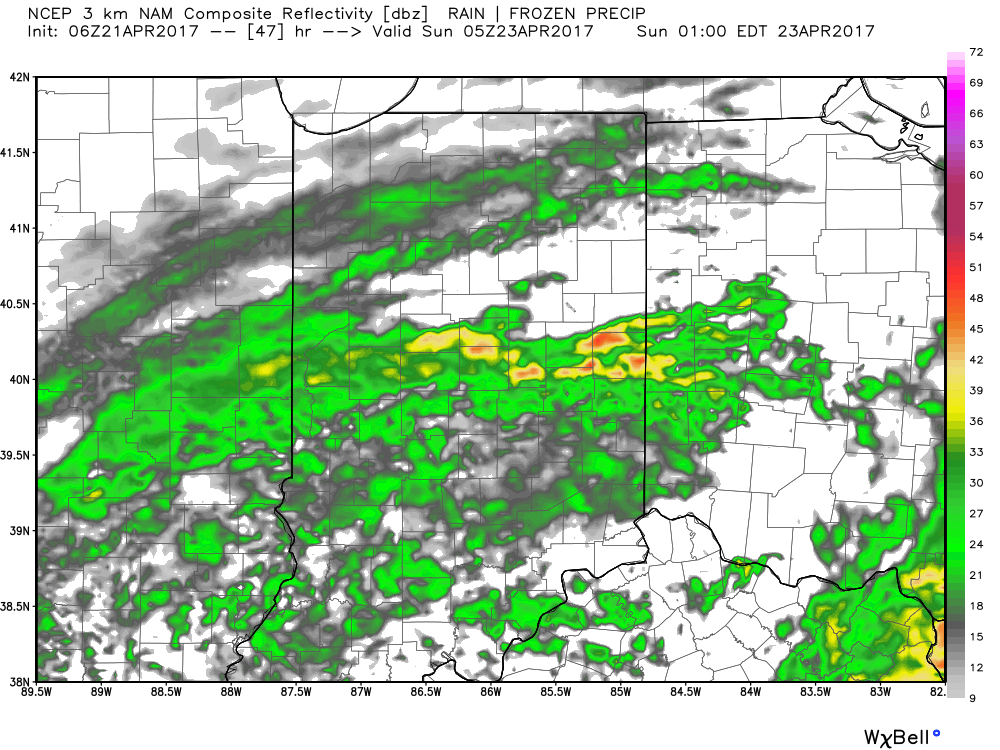
 The good news here is that we still think things dry out for the second half of the weekend. The last round of showers should pull off to the east Saturday night and pave way for a dry Sunday, including increasing sunshine as morning gives way to afternoon.
 With the increasing sunshine Sunday, temperatures will respond closer to average highs in the middle 60s. After we spend most of Saturday in the 40s that sure will feel nice!
 Highlights:
 Highlights:
 Highlights:
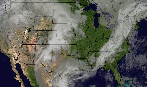 Temperatures will rise from the upper 30s and lower 40s into the middle 60s by evening.
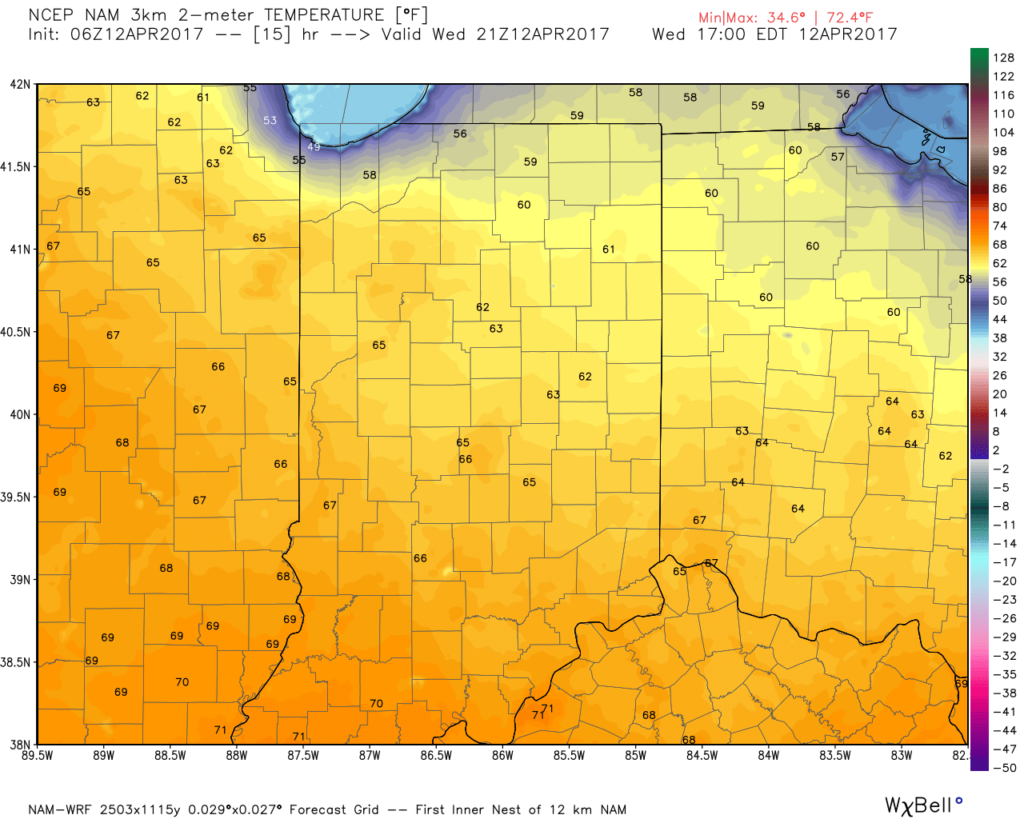 As we push into Thursday, moisture will return and will lead to an increase in cloud cover, along with scattered showers, especially across northern regions. It won’t rain the entire day by any means, and some neighborhoods likely won’t see a drop of rain Thursday, but we need to be prepared for a passing shower, especially from mid-morning into the evening.
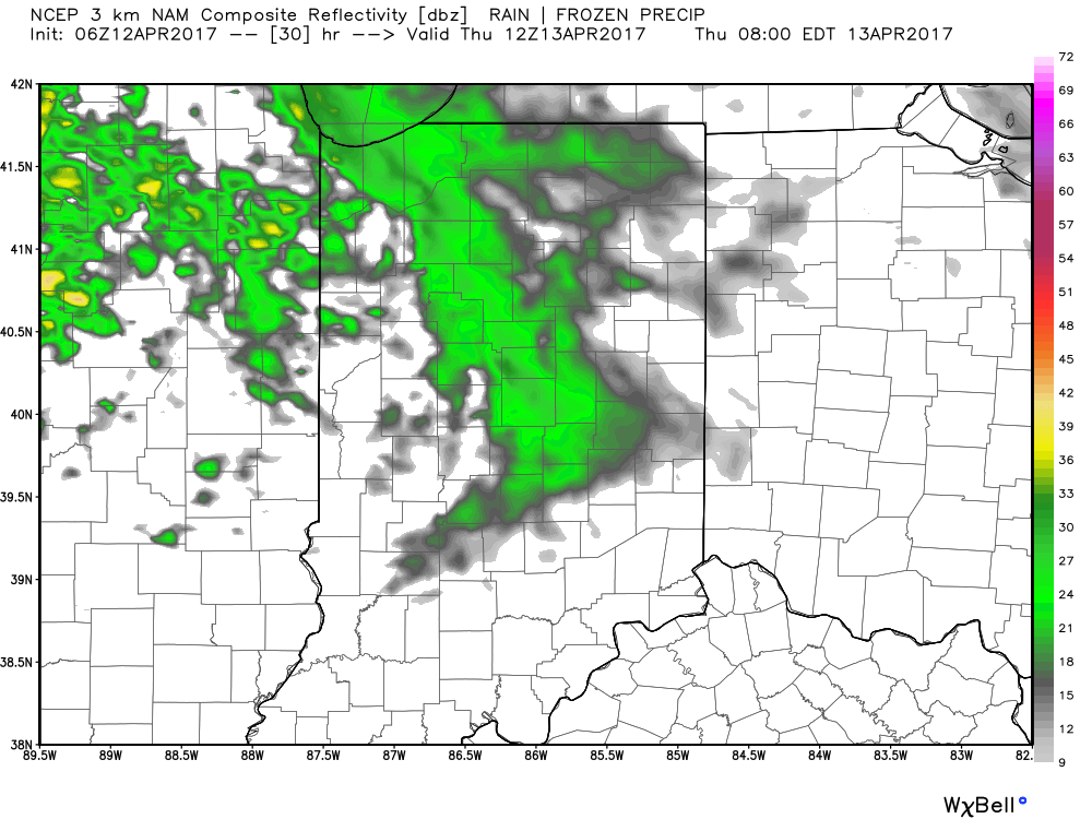
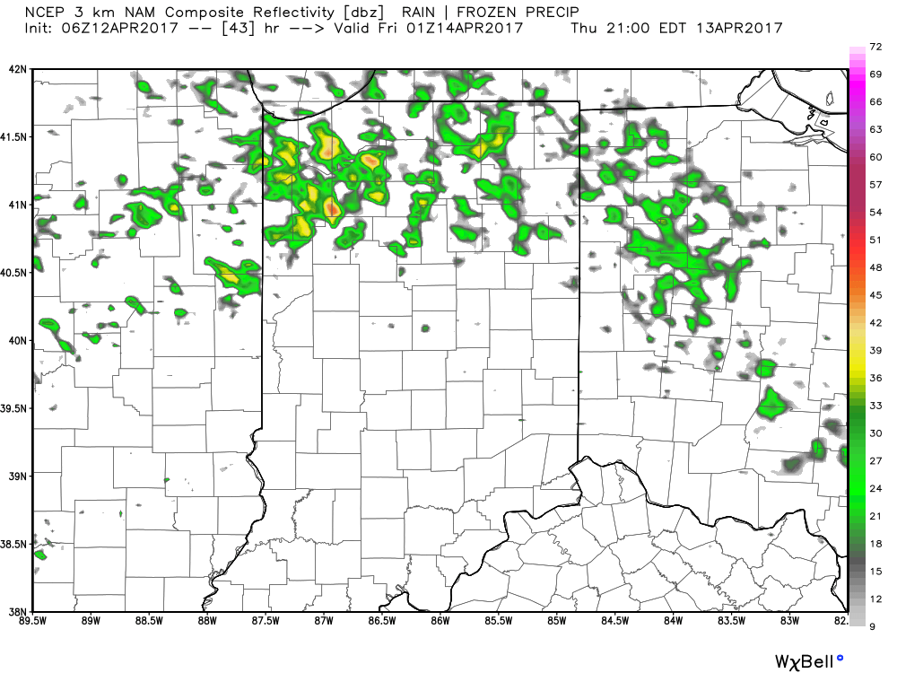 Looking ahead to Easter weekend, unsettled weather is still expected with scattered showers and thunderstorms associated with a warm front lifting north through the region Friday into Saturday before a cold front sweeps through Easter Sunday with additional thunderstorm chances. That said, there will be plenty of rain-free hours this Easter weekend and warmth will dominate. In fact, highs will flirt with 80° Friday and Saturday. More on the Easter weekend forecast and our full 7-day later today!