Good evening, friends! As promised, there’s a lot on the weather menu over the course of the upcoming several days. Let’s get right into the details.
The National Weather Service has issued a Winter Weather Advisory from 3a-12p for all of the region to account for the sleet and freezing rain situation we’ll deal with late tonight into the first half of Tuesday. We still expect significant travel issues and overall impacts to the Tuesday morning commute.
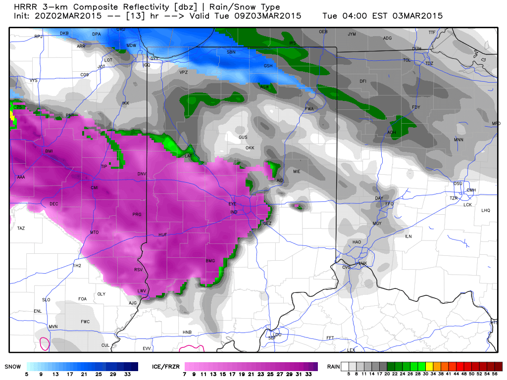
Forecast radar shows freezing rain spreading into the region between 3 and 4am.
 Light freezing rain and freezing drizzle will continue for the better part of the morning hours as temperatures likely won’t climb above freezing until early Tuesday afternoon, especially from Indianapolis and points northeast.
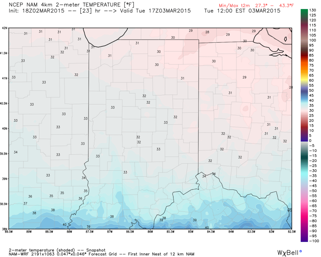
Forecast temperatures at 12p Tuesday.
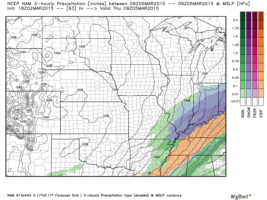
 We still don’t anticipate many big time flooding concerns as a.) temperatures won’t warm all that much (we MAY reach 40 Tuesday evening, but that’s a big question mark) and b.) most of the heavy rain will remain south of central Indiana.
Here’s expected liquid-equivalent totals through Wednesday morning.
 The next concern is the threat of accumulating snow for central and southern portions of the state Wednesday afternoon through Thursday morning. Arctic high pressure will limit the northern extent of significant precipitation, but, as mentioned previously, energy rounding the base of the trough will ignite another wave of low pressure to move along the pressing arctic front. As of now, we target areas along and south of the I-70 corridor most under the gun for a potentially impactful snow storm Wednesday afternoon into early Thursday morning.
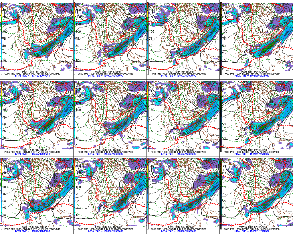
 The individual GFS ensemble members have also been trending north and overall more excited about snow prospects, as well.
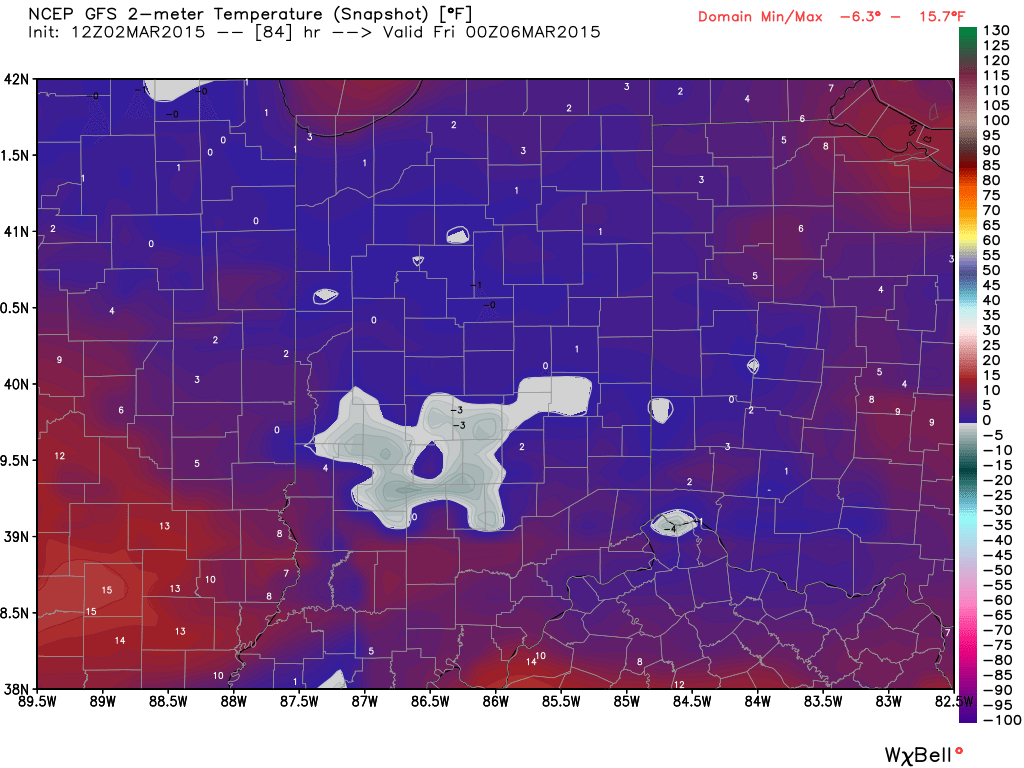
 The other item on the agenda is a shot of record cold in here for late week. Sub-zero lows are a good bet by Friday morning. Highs Thursday will push for a new record low maximum temperature.