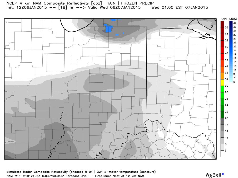
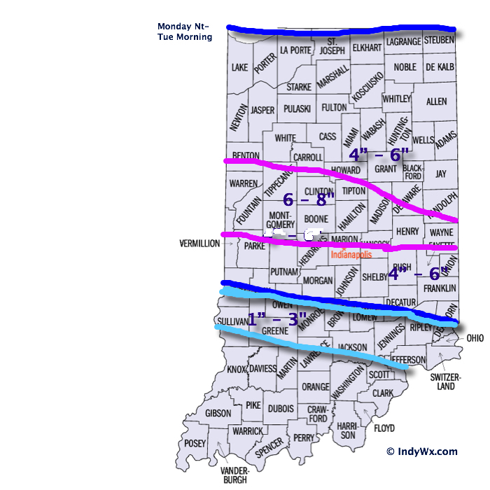
The snow storm that moved through northern and central Indiana deposited half a foot, or more, of “champaign powder” for the northern Indianapolis suburbs overnight into this morning with amounts tapering dramatically further south.
Left behind will be a day that will provide “decent” conditions for digging out. We’ll introduce sunshine and temperatures will be downright “balmy” when compared to what blows into town tonight. Though well below average, today’s high in the lower 20s will feel like a heat wave when we look ahead to the upcoming couple days.
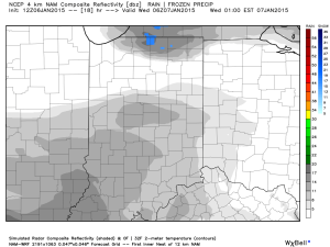
Things begin to change in a big way tonight as arctic air invades. Additionally, winds will increase and lead to all sorts of blowing and drifting concerns. This dry/ powdery snow will be blown about quite easily and lead to reduced visibilities tonight and Wednesday along with significant drifting. Some additional light snow will accompany the initial arctic push tonight.
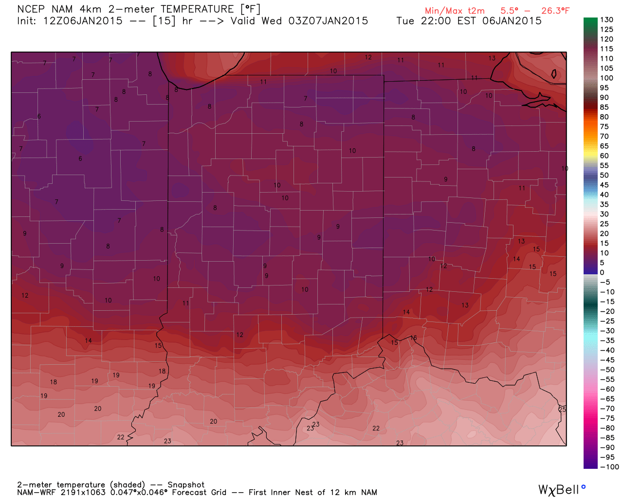
Note the temperature crash that’s coming:

Temperatures fall into the single digits by 10pm.

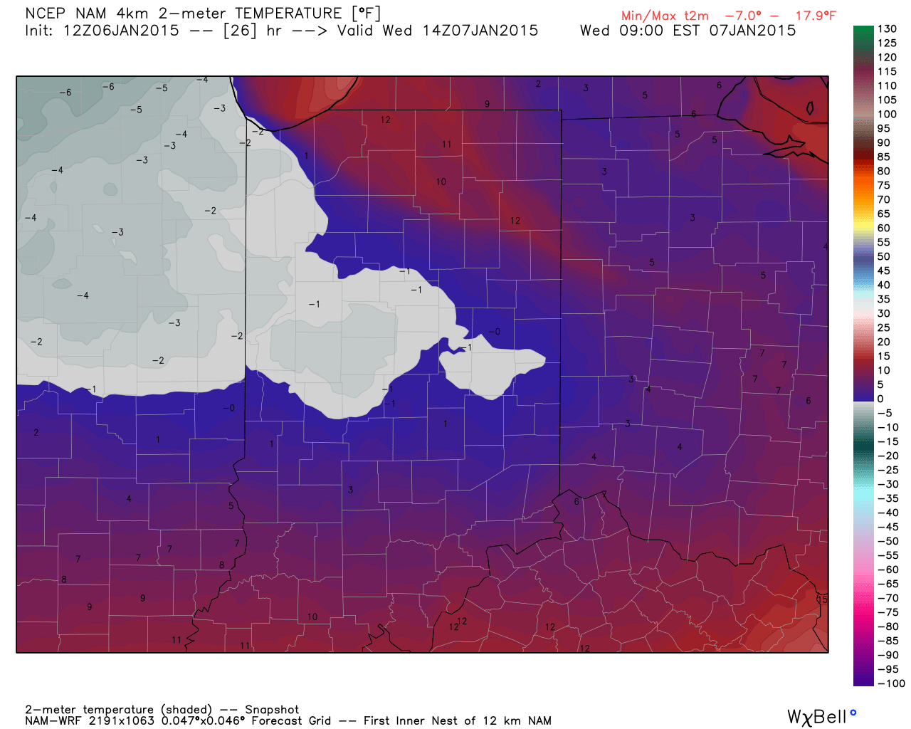
Wednesday morning lows.
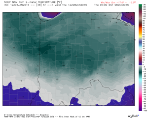
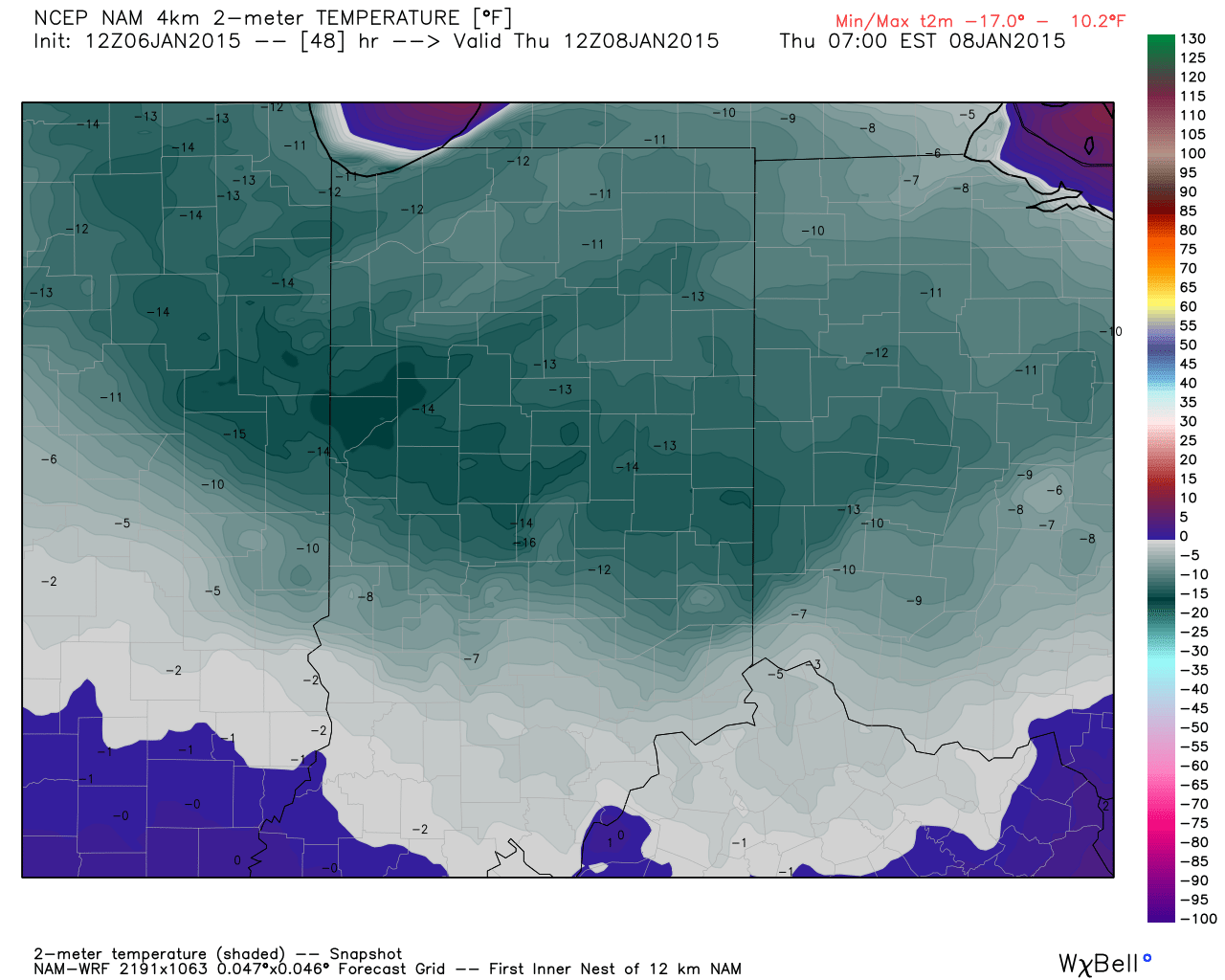
Modeled forecast lows Thursday morning.
Officially we forecast the following:
- Wednesday morning low: -2
- Wednesday high: 2
- Thursday morning low: -13
* Wind chill values will fall to 25 to 30 degrees below zero Wednesday into Thursday morning.