First and foremost, I’ll apologize in advance for a lack of posts today and go ahead and apologize for the same tomorrow. We’ve been incredibly busy over the past couple days and as a result posting has (and will be) out of schedule until mid week.
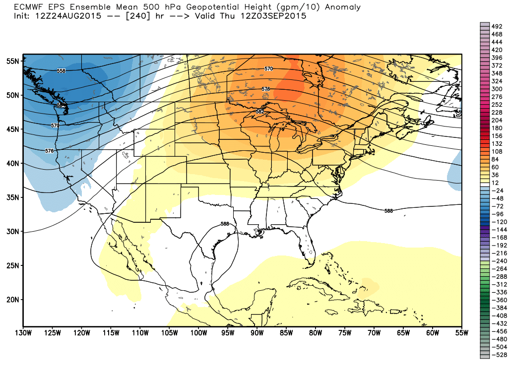
We wanted to briefly touch on early September with this post. (This isn’t our September forecast, as that will be posted by the end of the week).
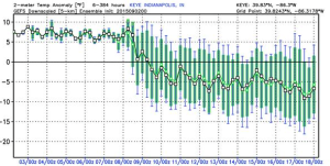
Speaking of September, we’ve always had September as a warmer than normal month. Despite the warm September forecast, we did initially think we may have a 2-3 day period in early September that would feature yet another pop of cooler than normal air. That’s speaking specifically at the period around 9.3-9.5 (give or take a day or two) and after a warmer than normal stretch this weekend into early next week. (By the way, after a warm September, we think things turn cold rather fast in October and November, but that’s for another day).
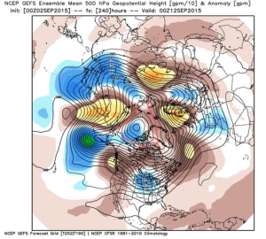
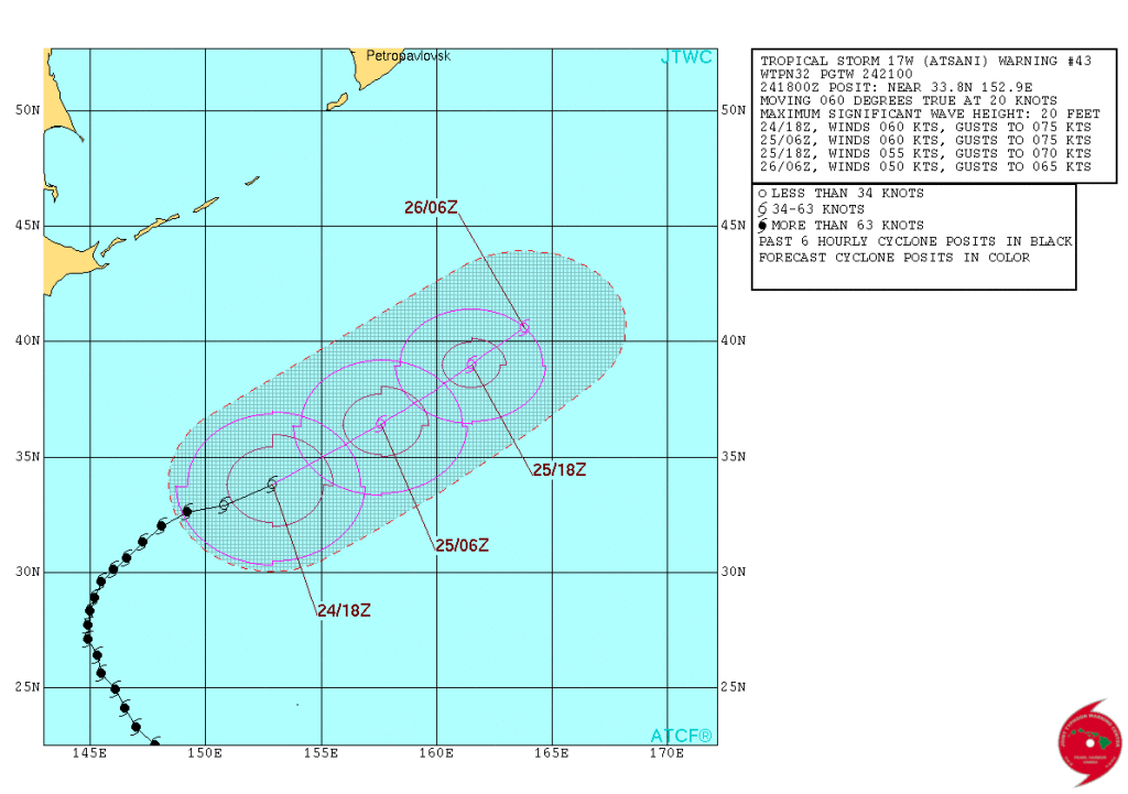
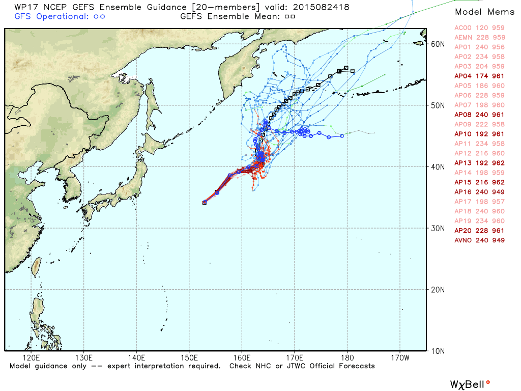
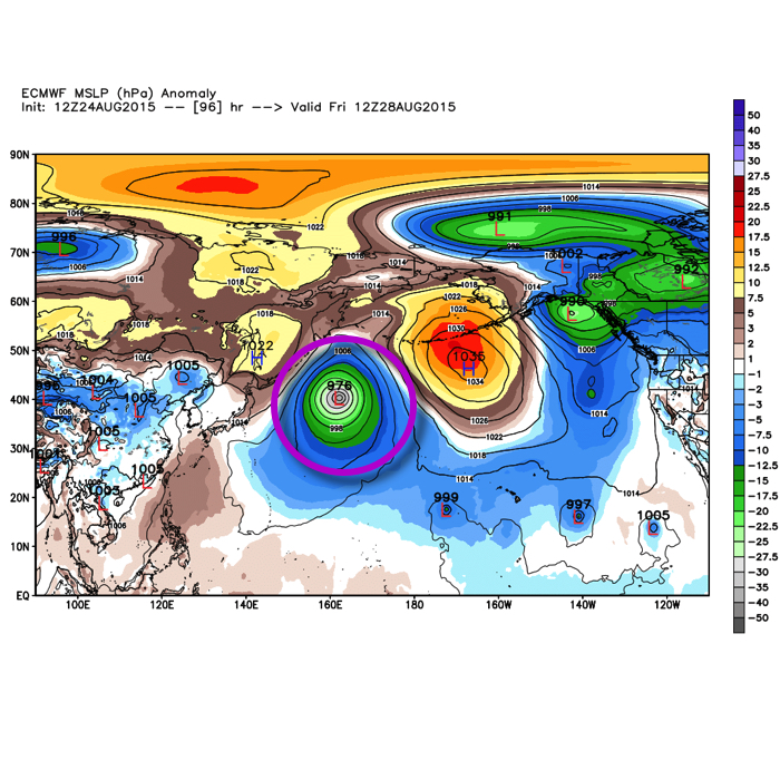
The reasoning behind our thinking of a few days of cooler air in the 9.3-9.5 time frame was from the overall pattern that is leading to Typhoon Atsani recurving in the western north Pacific. It’s important to note that it isn’t the recurving typhoon itself, but the overall pattern that provides a good hint at what’s ahead downstream 6-10 days later- be it ridging or the tendency for “troughiness.”
 However, modeling has been trending towards Atsani stalling in the north Pacific and even some data likes to drift the system northwest over time through the upcoming weekend before significant weakening.


The end result here? Much less emphasis on cool and attention that turns to a rather lengthy period of warmer than normal temperatures through the month of September, including early September.
 Much more later!

