It’s a nice start to the day, though patchy dense fog is impacting some communities this morning. Sunshine will burn through the fog over the next hour, or two.
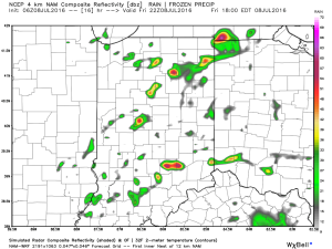
 That said, things will change as we progress into the prime heating hours of the afternoon and evening. Upper level energy will rotate east out of the Plains (this morning) and across Indiana this afternoon and evening.
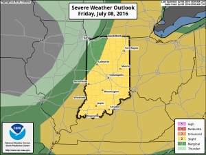
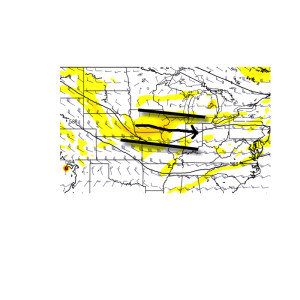 This will help ignite thunderstorm development during the afternoon and evening. While a storm could impact any given neighborhood this evening, best concentration of storms should lie north of the I-70 corridor. Locally heavy rain will be a good bet with the stronger storms. Localized rainfall amounts in excess of 2″ will be possible.
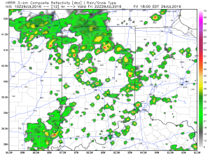 Additional scattered thunderstorm activity will continue Saturday, but there will be many more dry hours than wet/ stormy.
Looking ahead, a shot of heat will come out next week (lower 90 potential), but this will be transient. By the 8-10 day period, we’re back into an active NW flow type look. You know the drill by now. That means potential storm complexes and the worst of the heat to our west, relative to averages.
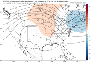

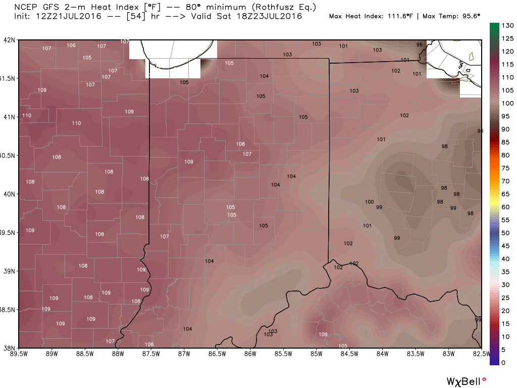
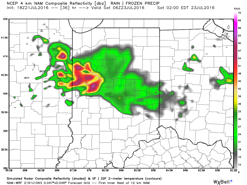
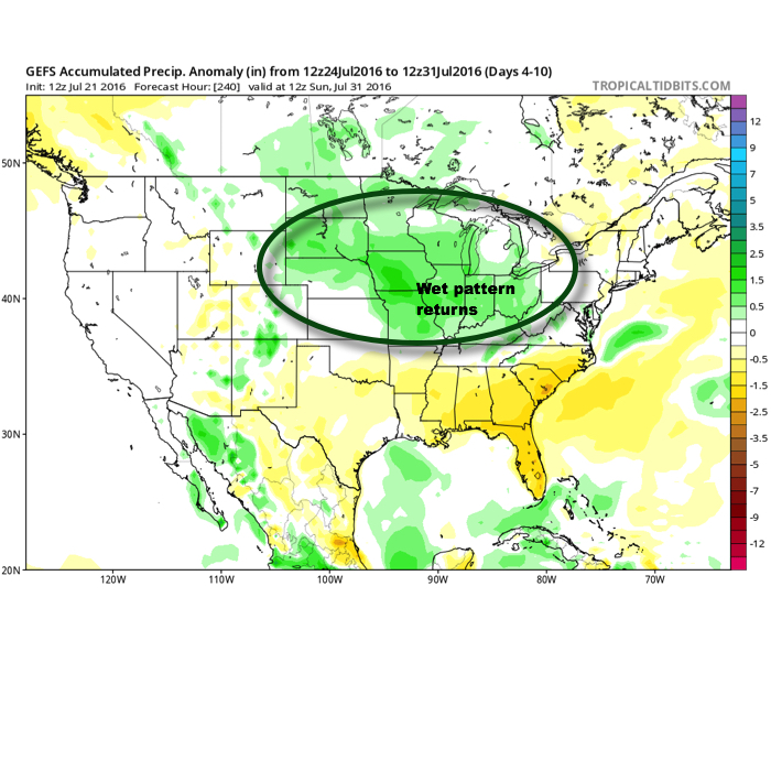
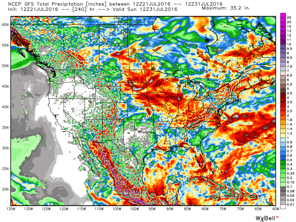
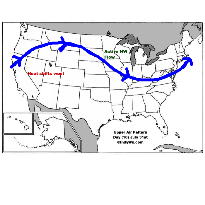
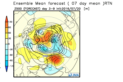
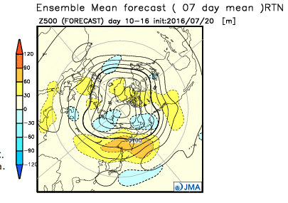
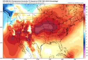
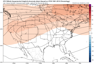
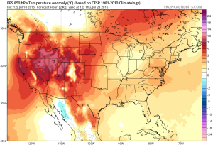 While some oppressive heat and humidity will impact our local area to wrap up the work week and head into the weekend, this is a pattern where it’s incredibly difficult to deal with any sort of one particular weather pattern for any time of substance. Looking forward to August, we don’t see this changing. Remember that word we leaned on to begin summer? “Transient” remains the best way to describe the pattern moving forward, as well.
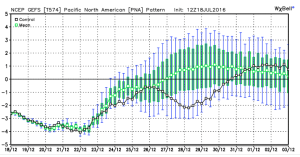
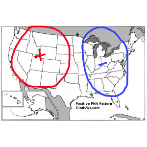
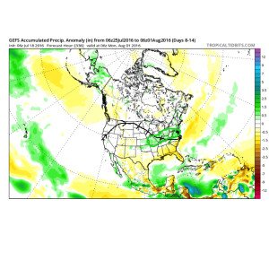 To close, we’ll leave you with a look at the latest PNA pattern. This has been the primary driver of our weather this summer, and it also argues any sort of dry, hot weather doesn’t last. Note the positive PNA returning to close July. This also lines up well with our idea of unsettled times returning…
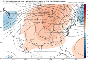
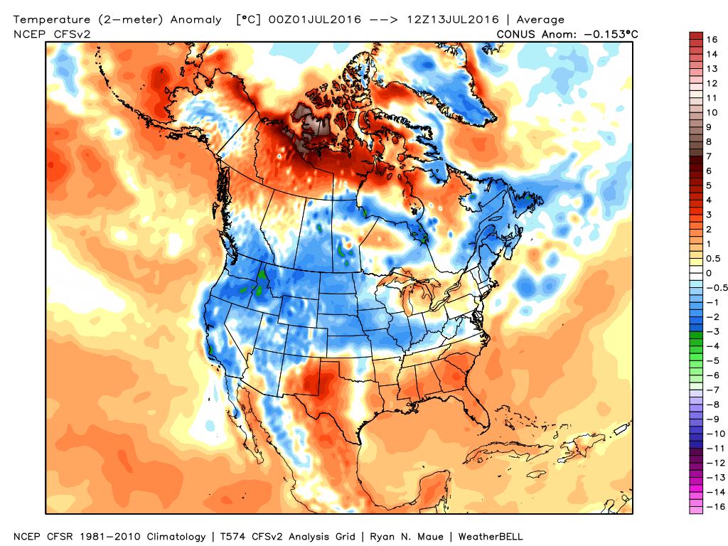 Ensemble data continues to suggest that the mean ridge position (hot dome) develops over the eastern portion of the country early next week before slowly retrograding northwest with time.
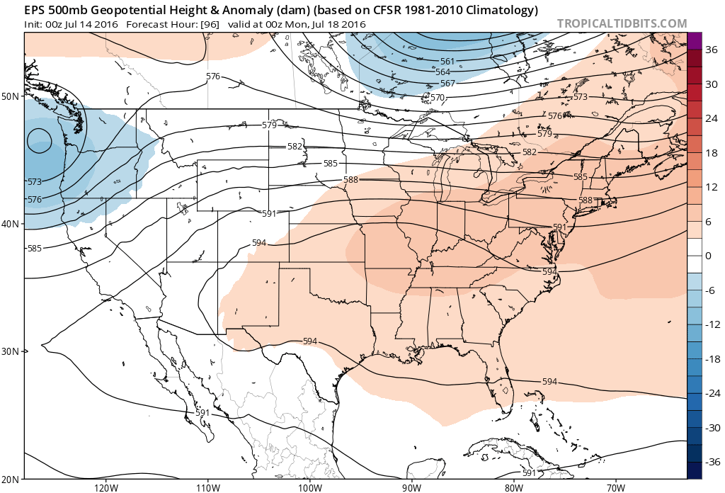 By the middle and latter portions of next week, the hot dome is set up in a position that will yield an extended stretch of hot temperatures across the state, including multiple mid-90 degree highs across central IN.
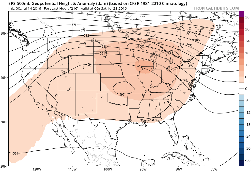
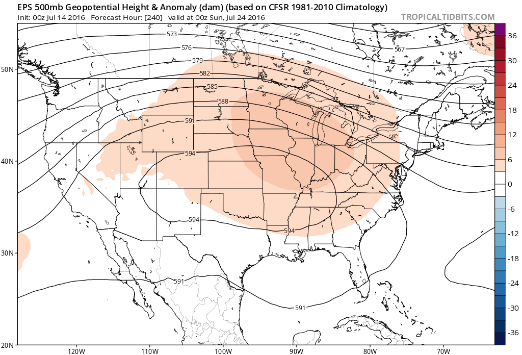 Given the current look of the ridge position, this would also be a rather dry pattern, as well, as the storm and rain track would shift north across the Canadian border into the northern Great Lakes states. (Follow that 588 line above for a good indicator of the storm track).
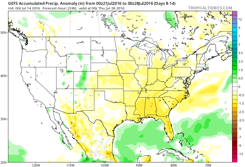 One always has to be careful in trying to predict the timing of the ridge breaking down/ overall placement this time of year (models can struggle), but for now it appears as if we really heat things up and dry things out as we move through next week- especially the middle and latter portions of the week.
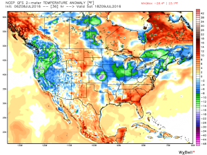
 2.) The aforementioned cold front will sweep through the state tonight and allow a much drier and cooler air mass to push in for the weekend. We’ll enjoy a downright pleasant feel this weekend, including lots of sunshine. Enjoy!
 3.) Dry weather should continue into early next week, but wet and stormy weather will return as early as Tuesday, continuing into the latter portions of the week.
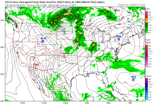 This is the start of what should be a rather wet period for mid and late month.
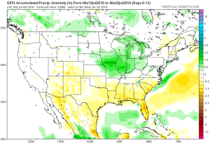 4.) This is also a continued “transient” pattern through the end of the month, meaning we really don’t see any sort of sustained dry, hot weather in the foreseeable future…