Pre-Dinner Rambles: Halloween Snow And New Winter “Tidbit”…

Updated 10.30.23 @ 5:36p

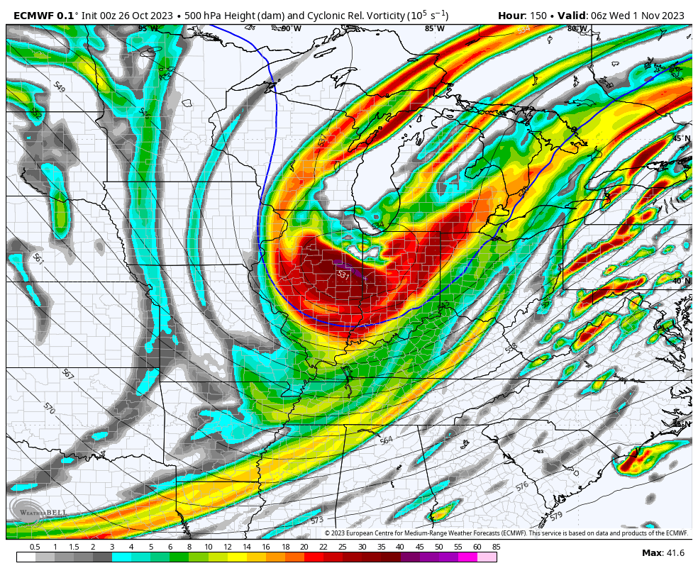
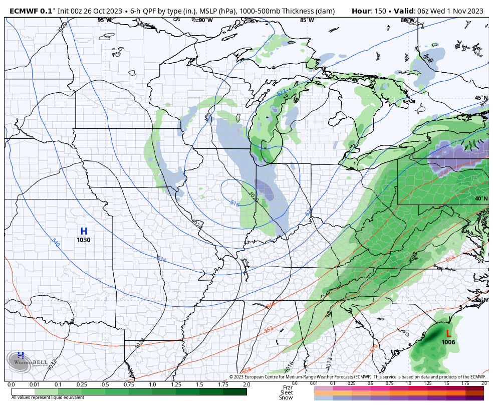
I. Vigorous upper level energy will dive southeast and impact our Halloween weather. Many will see their 1st snowflakes of the season (at least those who didn’t today) tomorrow afternoon and into the evening. This is the type setup that will lead to localized heavier squalls within the broader area of snow showers and I imagine this will carry deep into Tuesday night- longer than what most high resolution guidance currently suggests.
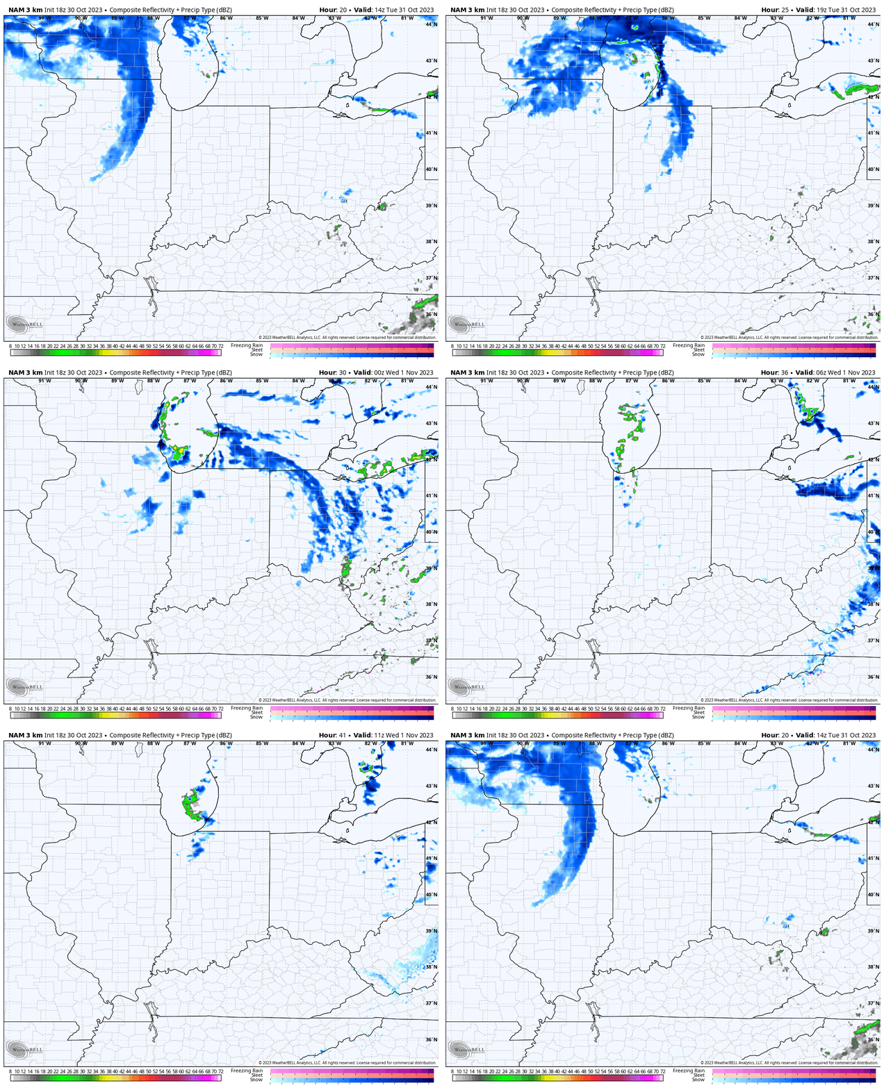
II. Cold and wind will also make for bitter conditions by Halloween standards. Trock or treaters will certainly need the layers under those costumes tomorrow night as wind chills fall into the 10s at times. Gusts up to 30-40 MPH will also create for “spooky” conditions at times.

III. New long range, “seasonal” data continues to suggest we’re heading for a Modoki Nino event. If this does, indeed, verify then we’ll look for colder and potentially snowier trends to take hold (certainly compared to a “traditional” Nino event) towards late December and on into the middle of winter. To no surprise, this should also play into some other drivers that suggest we should see more in the way of high latitude blocking periods this winter, compared to the past few. Stay tuned.
VIDEO: Gearing Up For Another Wave Of Rain Ahead Of A Taste Of Winter; Watching The Week 2 Time Period For Another Storm…

Updated 10.29.23 @ 8:50a

You must be logged in to view this content. Click Here to become a member of IndyWX.com for full access.  Already a member of IndyWx.com All-Access?  Log-in here.

First “Taste” Of Winter; The Wild Swings Of Autumn…

Updated 10.26.23 @ 6:45a

The next couple days will be the last of temperatures in the upper 70s to lower 80s until next spring. The first of 2 cold fronts will settle into central Indiana tomorrow evening followed by a strong frontal passage Monday. If you rather go right to the punch line instead of reading through the rest of this post, trick or treaters will need the heavy cold gear this year.

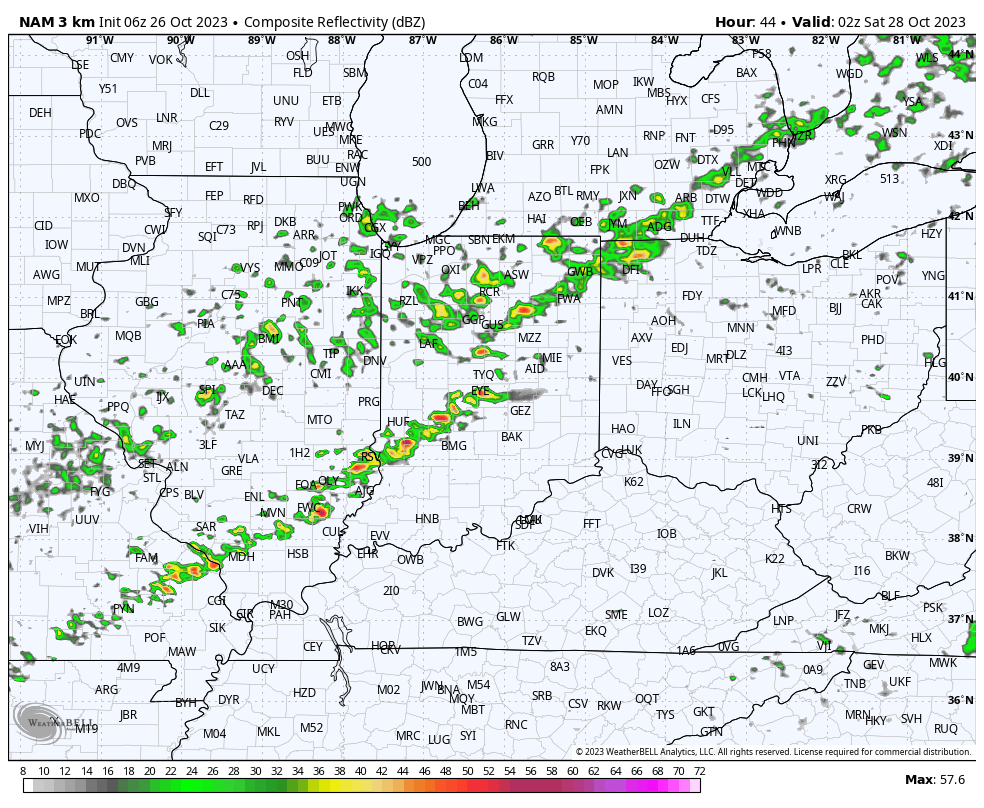
A few showers will skirt northern counties later this evening but the lions share of the next 36 hours will be rain-free. A line of showers and even thunderstorms will be associated with Friday evening’s cold front.

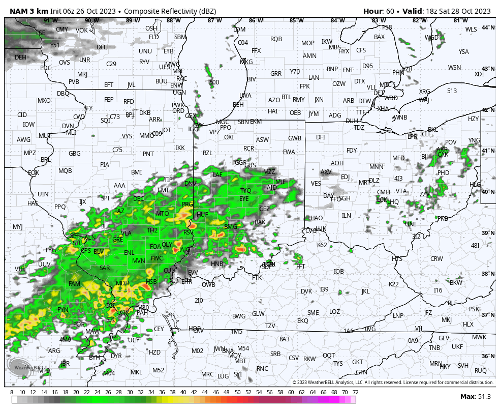
A much more widespread, heavier rain will build into central Indiana through our Saturday afternoon. It’s this period, continuing into Sunday where the bulk of our widespread 1”+ rain will come. A smaller axis of heavier totals (2”+) likely sets up shop south of the city, itself.

After a “step down” process to cooler air Friday into Saturday, the bottom will really fall out Monday. This will set us up for a downright cold Halloween (lows in the upper 20s with highs in the lower 40s). Add in winds and the “feels like” will be in the 10s and 20s into the 1st day of November.

If that isn’t enough, trailing upper level energy will push into the area Halloween night and have enough moisture to generate snow showers late into Wednesday morning. A renewed push of gusty winds can also be expected during this time period.

Coldest mornings of this stretch will likely take place next Wednesday or Thursday with overnight lows into the middle to upper 20s.