Monday Morning Rambles…
An early look at the radar this morning shows a couple of lone storms near Decatur and Blufton. These are moving off to the east.
 While we’ll maintain mention of a widely scattered thunderstorm today and Independence Day, the majority of both days will remain rain-free.
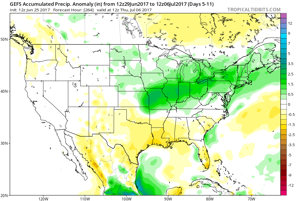
A wave of low pressure will track through the Ohio Valley Wednesday night into Thursday and this will result in an uptick in storm coverage. Locally heavy rainfall will be possible. While some localized totals could be higher, we think widespread rains of 1″-1.5″ is a good bet Wednesday night into Thursday.

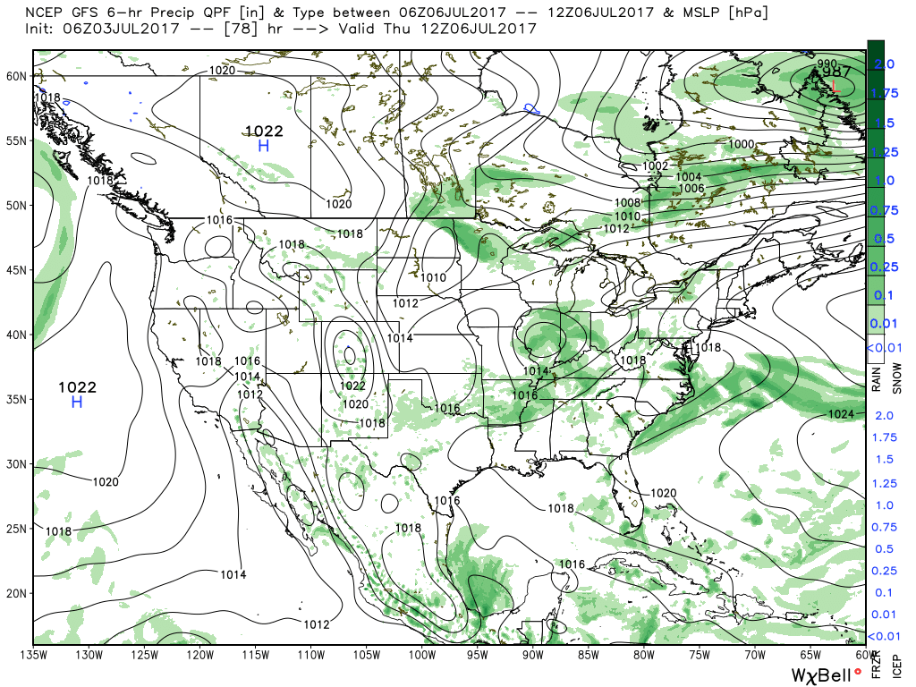 High pressure will build in over the weekend and aid in a drier and cooler theme.
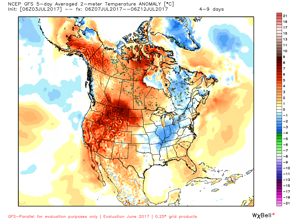
 Lows will return to the 50s across central Indiana Sunday morning and refreshing (upper 50s at night and upper 70s to lower 80s during the day) air will remain with us into early next week.
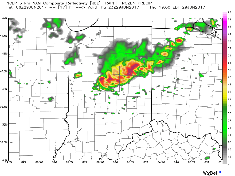
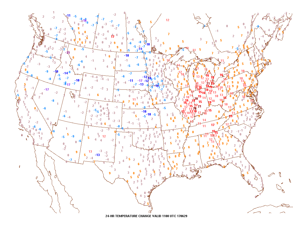 2.) With the increasing warmth and humidity will also come an increase in shower and thunderstorm chances today through Saturday. Most widespread coverage of thunderstorms should occur during the evening hours today and Friday night into Saturday morning. Drier air will try and work in Saturday afternoon into Sunday. Here’s a look at the forecast radar valid at 7p this evening.
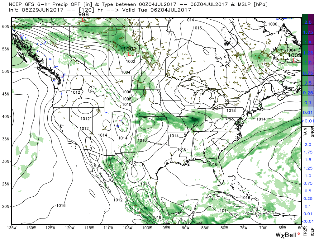
 3.) While we should dry things out Saturday afternoon into Sunday, active times will return early next week. We’ll have to fine tune timing, but the period Monday into Independence Day may feature a rather strong storm complex moving in a southeast fashion across the region. Again, details still have to be determined. While strong storms are possible at some point during the period, more dry time than wet can be expected.
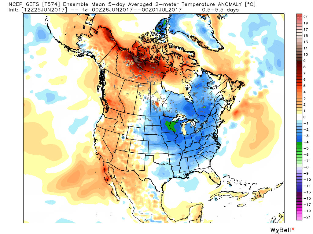
 4.) The latest JMA Weeklies are in and while we’ll have a more extensive post this evening on the weekly breakdown, the screaming message to us is an active period continues along with cooler anomalies setting up shop across the central, including our region.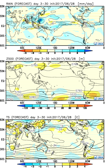
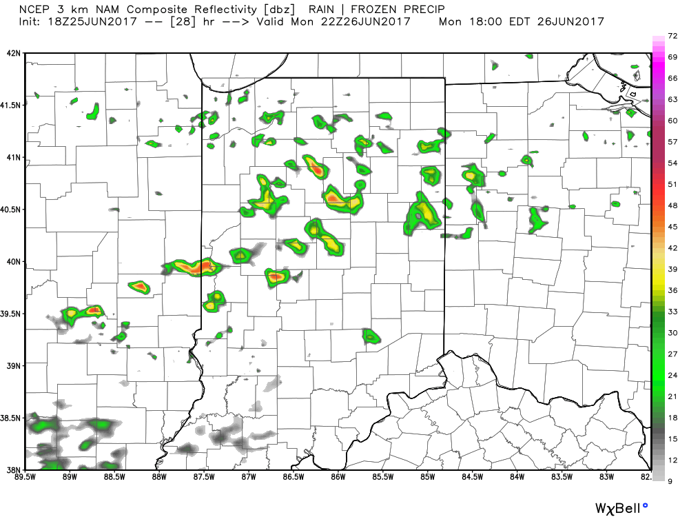
 II: A weak upper level disturbance will drift overhead Monday afternoon and help spark scattered showers and thunderstorms into the evening hours. Not everyone will get wet Monday evening, but a couple gusty storms are possible. Here’s a look at the radar valid at 6p Monday.
 III. After a dry Tuesday and Wednesday, better shower and thunderstorm chances will return to our forecast for late week into next weekend. Additionally, temperatures and humidity levels will return to closer to seasonal norms.
 IV. An active pattern will remain with us as we progress through the first half of June. A busy NW flow aloft will likely send multiple storm clusters southeast into the region and we’ll have to be mindful for the potential of some of these storm complexes containing strong-to-severe storms and excessive rainfall.