Tuesday Morning Rambles…
Updated 06.20.23 @ 5:30a
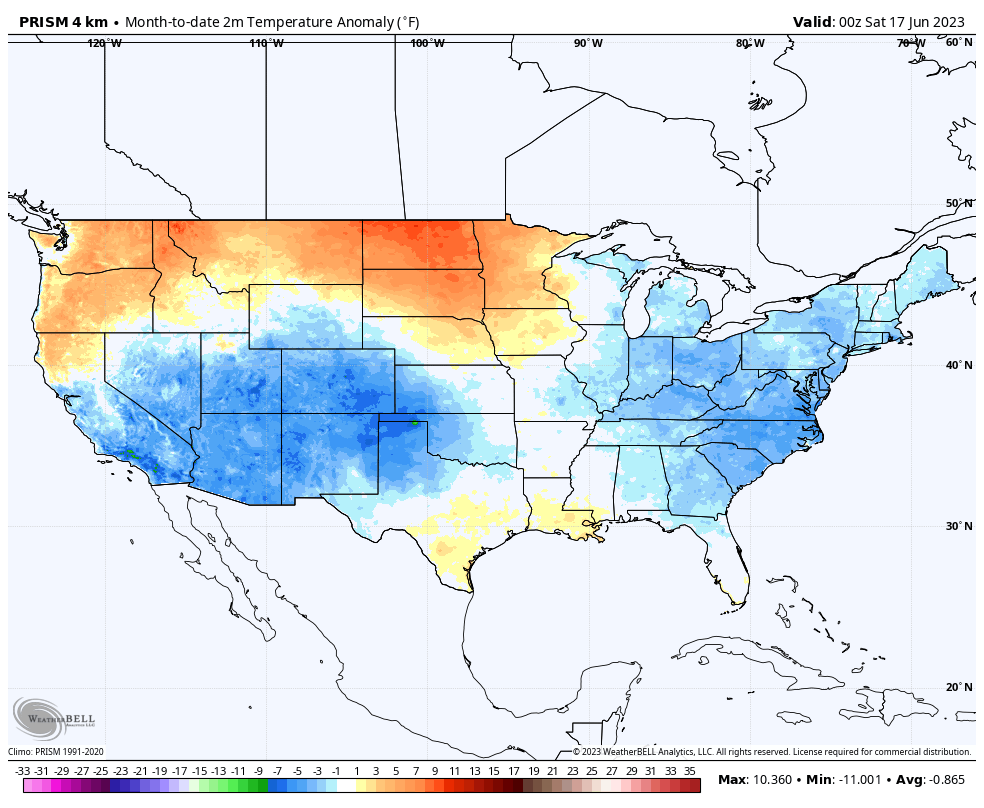
I. It’s been a cool June so far compared to normal. Officially, Indianapolis is running close to 3° below normal month to date.
Locally, there’s still no sign of any sort of significant heat on the horizon in this kind of pattern.
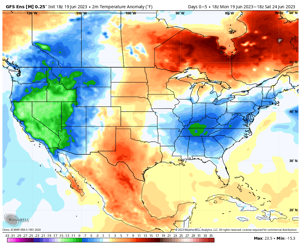

Needless to say, the lack of heat this time of year given how dry it’s been is a true blessing (otherwise the feedback would absolutely be kicking into high gear by now). Thankfully, it continues to look like we’ll avoid any sort of sustained hot wx compared to normal while also seeing the pattern transition towards a more active state.
II. Heaviest rains Monday fell across southern and southeastern Indiana, including amounts in excess of 1”.
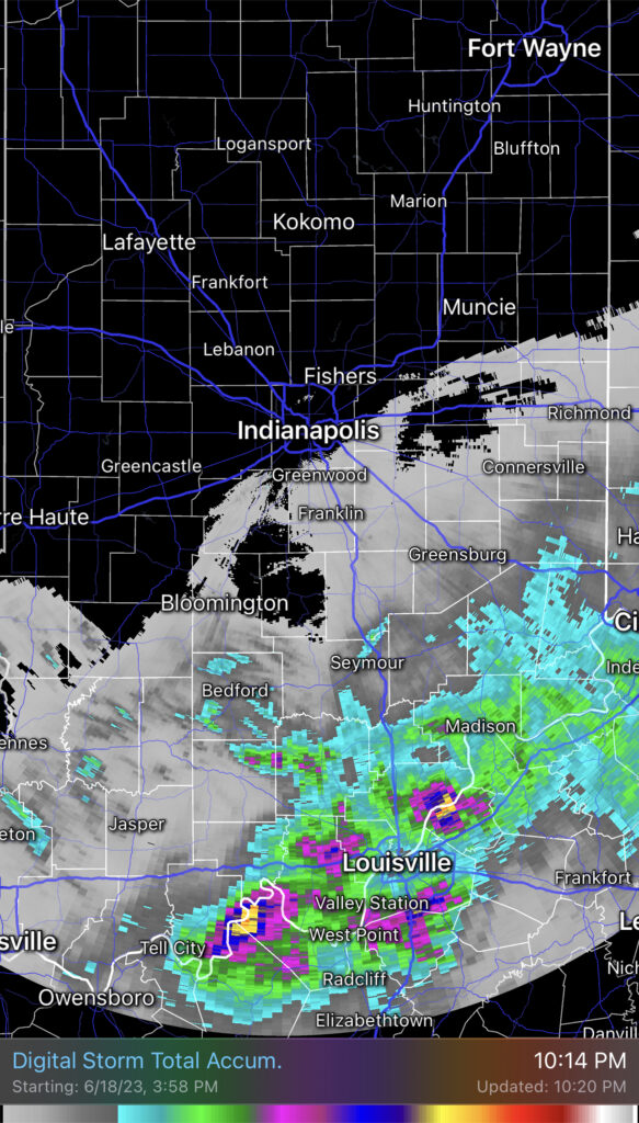
Additional showers will pinwheel into central Indiana this afternoon and evening. Indianapolis and more of immediate central Indiana stand a better shot of getting some beneficial rain today when compared to Monday. Fingers crossed.

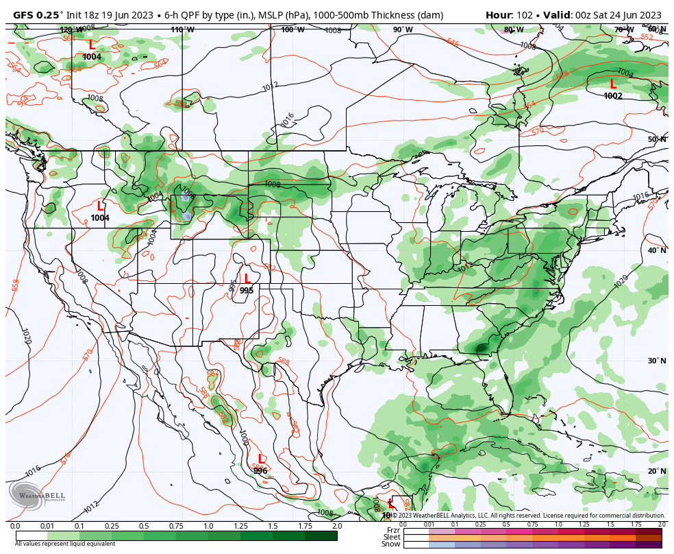
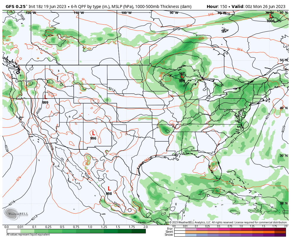
III. Additional opportunities of scattered to numerous showers and storms will occur Friday and Sunday.
Fresh Client video will be posted later this evening!