Category: Flooding

Weekly #AGwx And Severe Weather Outlook…

Updated 07.11.21 @ 8:18a

Persistent ridges will remain in place along both the East and West Coast with a persistent trough in the central through the upcoming 7-day period.
The cooler anomalies in the central will be mostly associated with lower than average daytime maxes (due to the unsettled weather). Hot weather will remain in place across the West.
Above normal precipitation can be expected through the Ohio Valley, Great Lakes, and interior Northeast through the course of the upcoming 7-days.
We forecast widespread 2″ to 3″ rainfall totals across central Indiana through the upcoming 7-day period with locally heavier amounts.

Forecast Period: 07.11.21 through 07.18.21

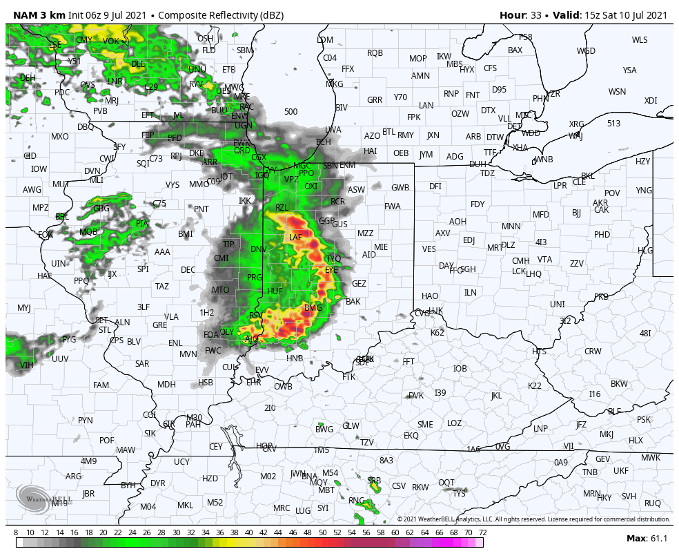
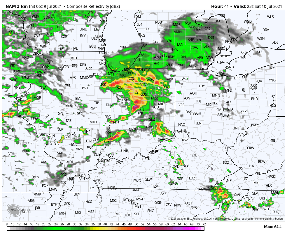
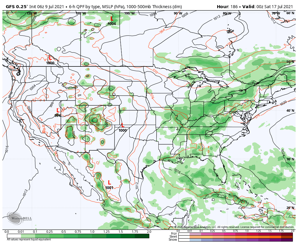
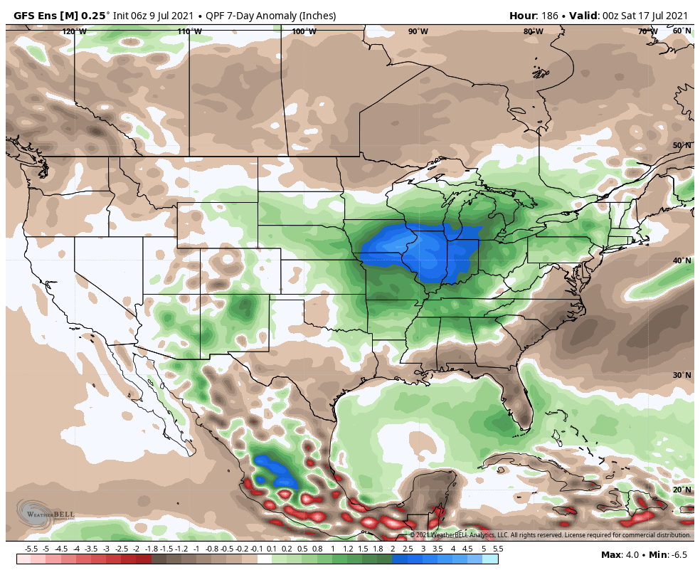
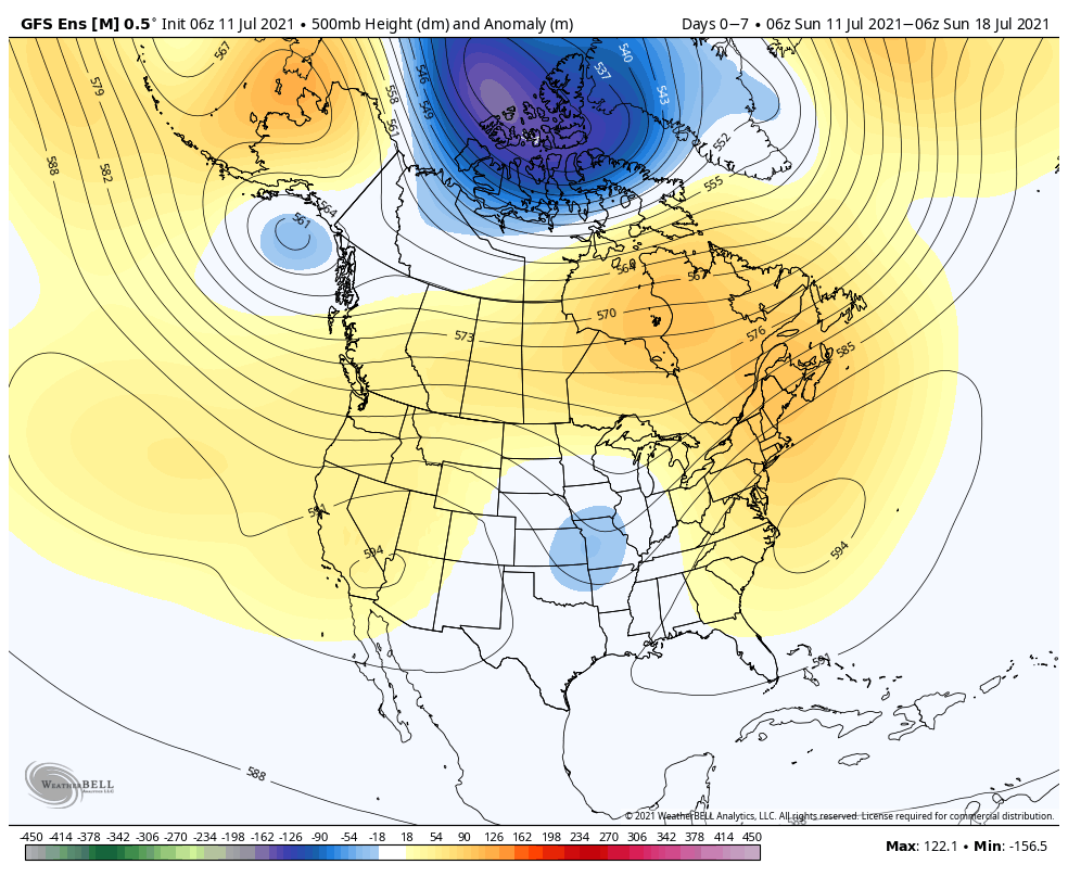
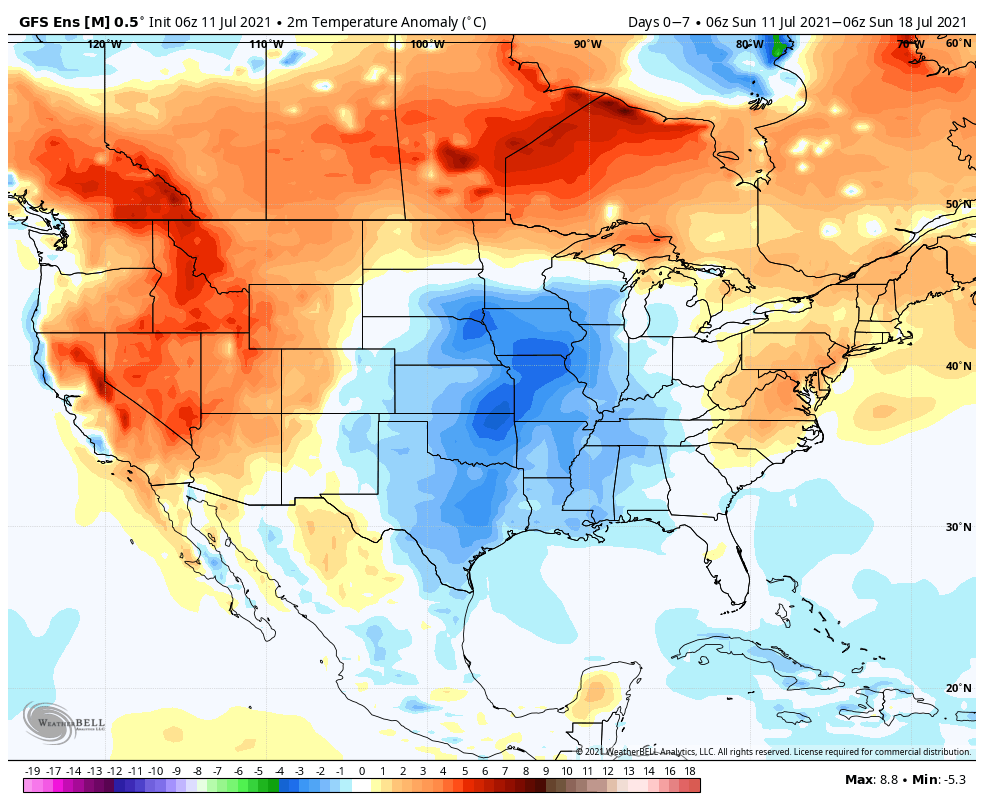
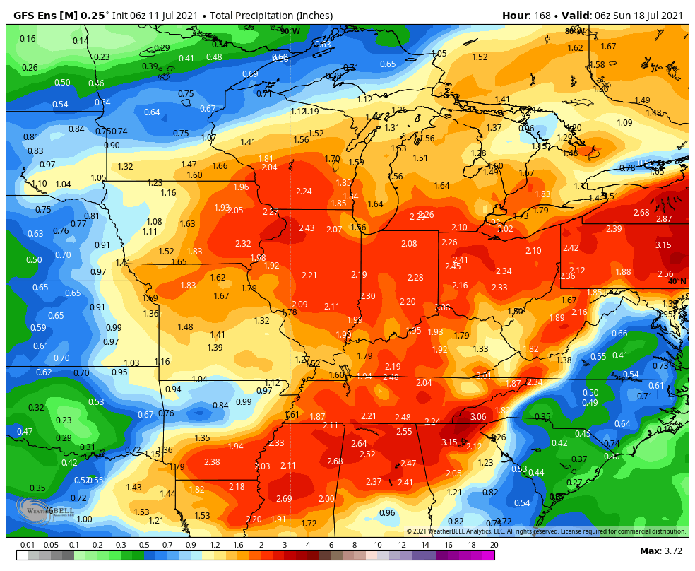
A persistent and rather stagnant upper pattern will remain in place through the upcoming 7-day forecast period. A cut off upper low that will be responsible for our unsettled conditions to open the work week will lose it’s influence on our weather as it gets absorbed in the westerlies by midweek. This will result in coverage of showers/ storms going from “numerous” (now through Tuesday) to “isolated” Wednesday and Thursday. Don’t get used to the drier trend though as a new trough will settle into the Plains during the 2nd half of the week, increasing coverage of showers and thunderstorms yet again Friday through next weekend. With such a rich, tropical airmass in place, the threat of localized flash flooding will remain high.

Permanent link to this article: https://indywx.com/weekly-agwx-and-severe-weather-outlook-38/

Timing Out Weekend Rain And Looking Ahead At The Pattern For The Remainder Of July…

Updated 07.09.21 @ 8:13a

Drier and cooler air will be with us to close out the work week, but changes are on the horizon just in time for the weekend.

It still appears as if we will deal with a couple rounds of more widespread showers and thunderstorms Saturday. The first complex will likely impact central and southern Indiana Saturday morning (bracketing the hours of 8a to noon west to east for round 1).

High resolution guidance then delivers a 2nd round of showers and thunderstorms into the state during the late afternoon and evening hours.

A moist southerly flow will continue to impact the region into early next week, keeping periods of scattered showers and embedded thunder in our forecast Sunday through Tuesday (most numerous during the afternoon and evening hours).

While we can’t completely rule out rain Wednesday, coverage should be less compared to what we’ll see in the short-term period. Rain and storm coverage will then ramp back up the 2nd half of the week into next weekend. All in all, it’s a very active pattern that will undoubtedly produce localized flash flooding across portions of the region.

7-day precipitation anomalies
We forecast 7-day rainfall totals between 2.5″ and 3.5″ with locally heavier amounts.

Looking ahead, all indications continue to point towards above normal rainfall as we progress through the latter part of July. As has also been the case, we don’t see any sort of sustained heat on the horizon through the end of the month.

Permanent link to this article: https://indywx.com/timing-out-weekend-rain-and-looking-ahead-at-the-pattern-for-the-remainder-of-july/

VIDEO: Rounds Of Heavy Rain Increase Flooding Concerns Over The Next Couple Weeks…

Updated 07.08.21 @ 10:54a

You must be logged in to view this content. Click Here to become a member of IndyWX.com for full access.  Already a member of IndyWx.com All-Access?  Log-in here.

Permanent link to this article: https://indywx.com/video-rounds-of-heavy-rain-increase-flooding-concerns-over-the-next-couple-weeks/

VIDEO: Drier Air Is On The Move South; Stunning Holiday Weekend Awaits…

Updated 07.01.21 @ 7:32a

You must be logged in to view this content. Click Here to become a member of IndyWX.com for full access.  Already a member of IndyWx.com All-Access?  Log-in here.

Permanent link to this article: https://indywx.com/video-drier-air-is-on-the-move-south-stunning-holiday-weekend-awaits/

VIDEO: Localized Flash Flooding Today Ahead Of Much Drier Air That Builds In Thursday Evening; Gorgeous Holiday Weekend Dialed Up…

Updated 06.30.21 @ 7:30a

You must be logged in to view this content. Click Here to become a member of IndyWX.com for full access.  Already a member of IndyWx.com All-Access?  Log-in here.

Permanent link to this article: https://indywx.com/video-localized-flash-flooding-today-ahead-of-much-drier-air-that-builds-in-thursday-evening-gorgeous-holiday-weekend-dialed-up/