Fantastic Weather Heading Into The Holiday Weekend!

Thr.

Fri.

Sat.

Sun.

Mon.

Tue.

Wed.

 Status-weather-clear-icon

 Status-weather-clear-icon

 Status-weather-clear-icon

 Status-weather-clouds-icon

 Status-weather-showers-day-icon

 Status-weather-showers-day-icon

 Status-weather-showers-day-icon

58/ 74

52/ 70

48/ 74

53/ 79

60/ 84

65/ 86

68/ 83 

– – –

– – –

– – –

– – –

Light

Light

Light

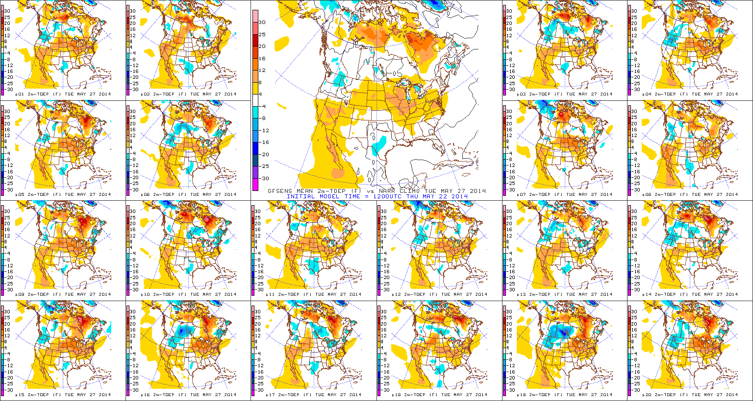
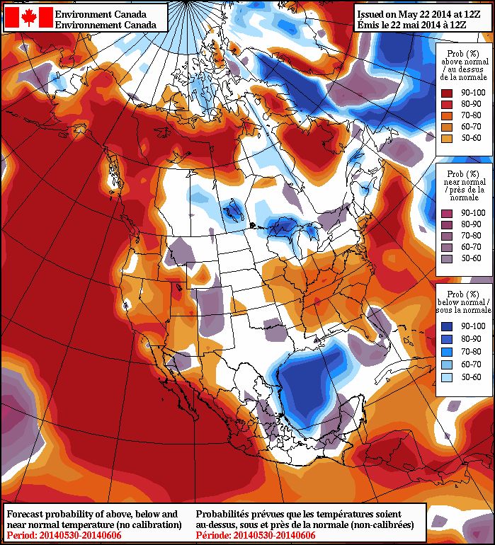
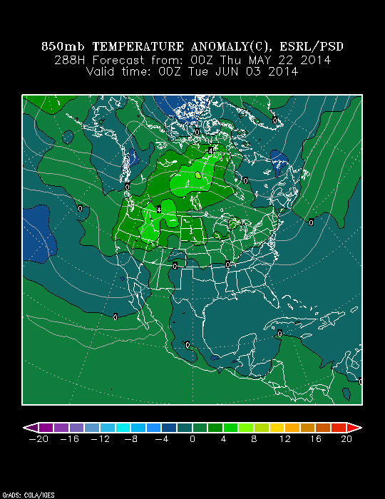
After a stormy Wednesday that featured flooding, hail, and wind damage, today will be a refreshing change!  The cooler, drier, and sunny start to the day is a sign of things to come for the long holiday and race weekend!  A weak disturbance could add a few clouds tonight and a shower downstate, but most will stay dry.  High pressure will then supply wall-to-wall sunshine and cooler air as we wrap up the work week and head into the long weekend.  A hotter, more humid air mass will build in for Memorial Day, itself, and result in a muggy feel along with scattered showers and thunderstorms early next week.

Enjoying A Drier Weekend!

Sat.

Sun.

Mon.

Tue.

Wed.

Thr.

Fri.

 Status-weather-clouds-icon

 Status-weather-clouds-icon

 Status-weather-showers-scattered-icon

 Status-weather-showers-day-icon

 Status-weather-clouds-icon

 Status-weather-showers-day-icon

 Status-weather-showers-day-icon

32/ 50

31/ 57

43/ 49

37/ 52

32/ 57

46/ 70

50/ 66

– – –

– – –

Heavy

Light

– – –

Light

Light

Forecast Updated 04.05.14 @ 8:40a

Pleasant Weekend On Tap. . .The weekend will provide a well-deserved period to dry out as high pressure builds into the region and supplies increasing sunshine.  After a mostly cloudy start to your Saturday, sunshine will begin to increase later this afternoon.  Sunday will feature mostly sunny skies through the day before clouds increase by evening ahead of our next weather maker Monday.

Heavy Rain Maker. . .We certainly don’t need more rain this soon, but we’ll unfortunately deal with just that Monday, along with a strong easterly wind.  Surface low pressure will lift out of the Gulf Coast region into the Ohio Valley and result in periods of rain through the day Monday before diminishing Tuesday.  Early thinking suggests around 1″ of rain here with this storm system.  Additionally, strong easterly winds will gust over 30 MPH Monday along with chilly, raw conditions.

Milder, Southwesterly Flow. . .Most of Wednesday and Thursday will be dry and warmer with a breezy southwesterly wind.  A weak cold front will slip through here late Thursday with a shower possible.  This particular front will then likely stall out just south of our region before lifting back north as a warm front next weekend.

An early call for next weekend places a rather unsettled pattern over our region, including more of those April showers…

Upcoming 7-Day Precipitation Forecast:

  • 7-Day Rainfall Forecast: 1″ – 1.5″
  • 7-Day Snowfall Forecast: 0.00″

twic

For weather updates and more “behind the scenes” data on the go, be sure to Follow Us on Twitter @indywx or become a Friend of IndyWx.com on Facebook!

images

Looking At Tonight’s Weather And Another Storm Monday…

Good evening.  It’s been a busy day across central Indiana and we’re not finished just yet.  While the heaviest rains and strong to severe thunderstorms targets southern parts of the…

You must be logged in to view this content. Click Here to become a member of IndyWX.com for full access.  Already a member of IndyWx.com All-Access?  Log-in here.

Wet, Stormy Period…

Wed.

Thr.

Fri.

Sat.

Sun.

Mon.

Tue.

 Status-weather-storm-night-icon

 Status-weather-storm-night-icon

 Status-weather-showers-day-icon

 Status-weather-clouds-icon

 Status-weather-clouds-icon

 Status-weather-showers-scattered-icon

 Status-weather-snow-scattered-day-icon

43/ 52

50/ 66

43/ 62

32/ 50

30/ 57

38/ 56

33/ 46

Heavy

Heavy

Light

– – –

– – –

Moderate

– – –

Forecast Updated 04.02.14 @ 7:30a

Heading Into A Stormy, Wet Period. . .While periods of showers and thunderstorms will be with us through Friday morning, we break things down and focus in on this afternoon/ evening into Thursday morning for the potential of heaviest rainfall.  We then think we experience a bit of a “lull” in the action Thursday afternoon before we ramp things back up and introduce a severe weather component Thursday night into Friday morning.  Renewed heavy rains would also accompany these thunderstorms.  As for the severe risk, really all modes of severe weather are in play, including damaging hail, straight line winds, and even the possibility of a tornado or two.  We’ll continue to closely monitor the ongoing weather situation and suggest you plan to keep abreast of the latest developments in the days ahead in terms of potentially flooding and severe weather.  Severe weather outbreaks are always dangerous, but particularly so at night.

The cold front will sweep the state clean of heavy rain and severe thunderstorms Friday morning and this will set things up for a much quieter, calmer (although windy) close to the week.

When all is said and done, we forecast widespread 2-3″ rainfall through the heart of the state, including central Indiana, along with localized amounts between 3″ and 4″.

Much Needed, Calmer, Weekend. . .High pressure will build over head as we go through the weekend and this will supply a drier, calmer period Saturday and Sunday.  We’ll note a cooler air mass in place, along with a gusty northwest wind Saturday, but winds will calm Sunday, ensuring a pleasant close to the weekend.

Eyeing Our Next Storm. . .Things are still much in the air in regards to the precise details with a new storm system early next week, but we’re confident something’s brewing.  The European data suggests this is another heavy rain event for our neck of the woods Monday, while the GFS is further east, and takes the majority of the moisture up the eastern seaboard.  We’ll continue to monitor things.

One more item of note, mid to long range guidance is in agreement on the return of a below normal temperature pattern here later next week…  In fact, a few wet snow flurries may fly next Tuesday as the cold air pushes back in.

Upcoming 7-Day Precipitation Forecast:

  • 7-Day Rainfall Forecast: 3″ – 4″
  • 7-Day Snowfall Forecast: 0.00″

twicFor weather updates and more “behind the scenes” data on the go, be sure to Follow Us on Twitter @indywx or become a Friend of IndyWx.com on Facebook!

images

Active Thursday Ahead…

* Your complete 7-Day forecast can be found below this post.

We continue to monitor things closely Thursday as a busy day is on tap.  Thunderstorms will initially blow into the region Thursday morning as a warm front lifts north through central Indiana.  These storms will be capable of producing heavy rain and vivid lightning.

T-stormsRound1

We’ll then get into a much warmer south wind (gusting up to 30 MPH) and watch radar trends closely to our west.  We’re still very concerned for a squall line plowing east through the region Thursday evening.  Time of greatest concern lies between 5PM and 8PM for this line, but we caution timing may have to be adjusted after looking over evening data.  Damaging straight line winds are of the greatest concern Thursday evening, along with torrential rainfall.

ThrSeverThreatSIMRadarFollowing the squall line, we’re also concerned for strong and potentially damaging northwest winds Thursday night, gusting up to 50 MPH, as low pressure rapidly deepens moving into the Great Lakes.

Bullet Point Thoughts You Need To Know For Thursday

  • Morning round of heavy rain and thunderstorms
  • Severe squall line capable of wind gusts over 60 MPH Thursday evening- targeting 5pm to 11pm
  • Heavy rain totals around 1″
  • Strong northwest winds Thursday night that could gust up to 50 MPH