Evening Video: A Tale Of Extended Summer That Gives Way To Sudden Winter…
You must be logged in to view this content. Click Here to become a member of IndyWX.com for full access. Already a member of IndyWx.com All-Access? Log-in here.
You must be logged in to view this content. Click Here to become a member of IndyWX.com for full access. Already a member of IndyWx.com All-Access? Log-in here.
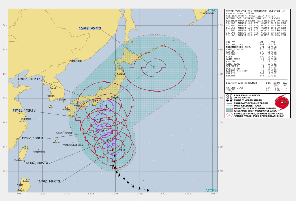
A strong cold front will sweep through the area tomorrow and help usher in the coolest air so far this autumn. This will set the tone, combined with the recurving WPAC typhoon, for a chilly upcoming 6-10 day period, but what lies beyond this period later in the month?
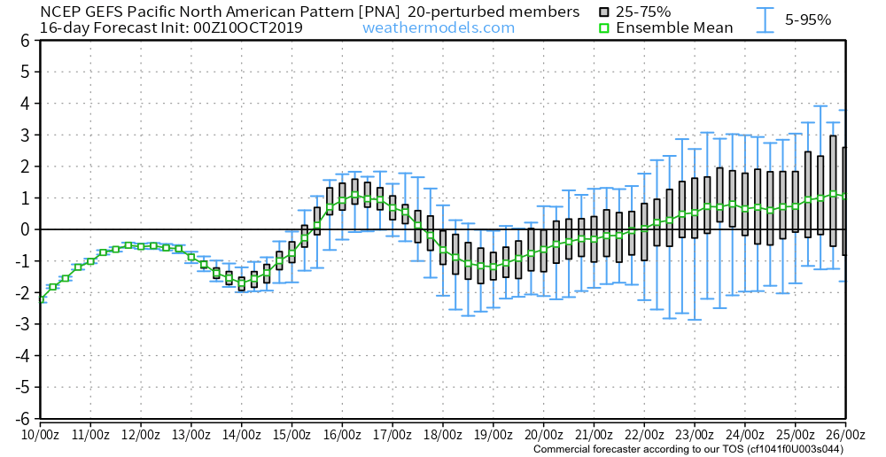
We turn to a couple of our more trusted teleconnections for advice.
Note the PNA “bobbing” up and down through the medium range period, with more of a negative look around the 20th. This argues for a milder stretch of weather around that time. (Further out, we’ll keep close eyes on the PNA to see if a more consistent positive signal develops as we inch closer to November).
The EPO pops strongly positive mid month which, too, argues for milder times, locally. That said, similar to the PNA above, the EPO is trending towards a scenario that would present colder times as we rumble towards November. We’ll monitor for consistency.

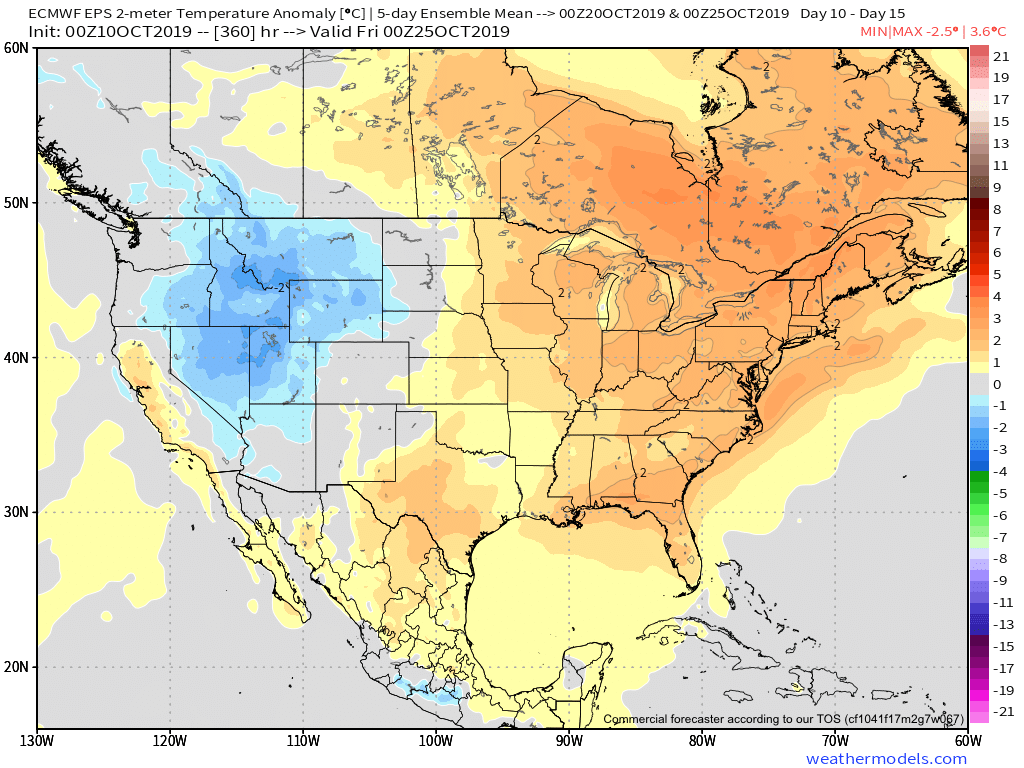
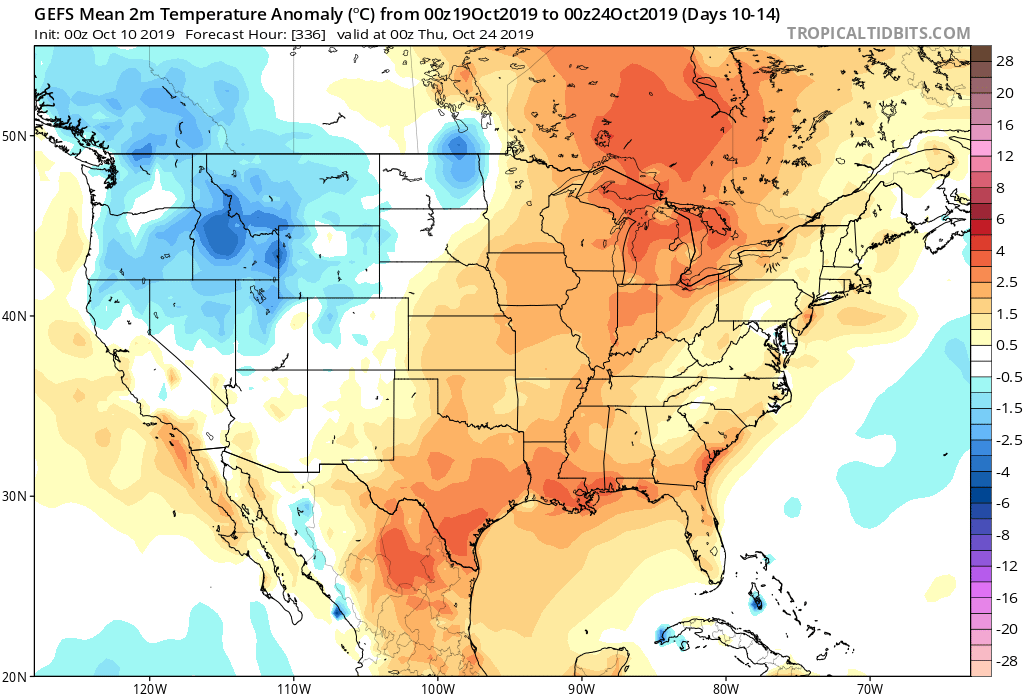
To no surprise, given the two primary teleconnection drivers above (remember these can change as the seasons evolve), we see the pattern set to turn milder just beyond Day 10. Note the strong agreement between the European, Canadian, and GFS ensemble data below.

You must be logged in to view this content. Click Here to become a member of IndyWX.com for full access. Already a member of IndyWx.com All-Access? Log-in here.
You must be logged in to view this content. Click Here to become a member of IndyWX.com for full access. Already a member of IndyWx.com All-Access? Log-in here.
You must be logged in to view this content. Click Here to become a member of IndyWX.com for full access. Already a member of IndyWx.com All-Access? Log-in here.