VIDEO: Wet Pattern Emerges Into The Week Ahead…
Updated 10.02.21 @ 7:47a
You must be logged in to view this content. Click Here to become a member of IndyWX.com for full access. Already a member of IndyWx.com All-Access? Log-in here.
Updated 10.02.21 @ 7:47a
You must be logged in to view this content. Click Here to become a member of IndyWX.com for full access. Already a member of IndyWx.com All-Access? Log-in here.
Updated 10.01.21 @ 8a
You must be logged in to view this content. Click Here to become a member of IndyWX.com for full access. Already a member of IndyWx.com All-Access? Log-in here.
Updated 09.26.21 @ 11:14a
Forecast Period: 09.26.21 through 10.03.21
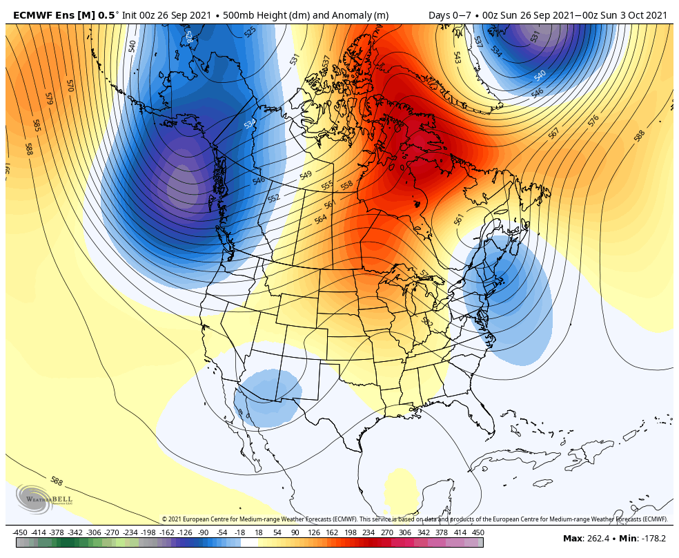
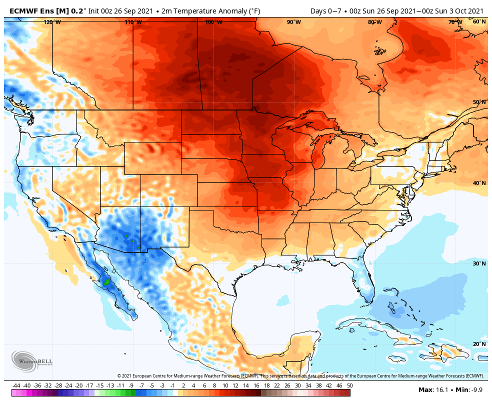
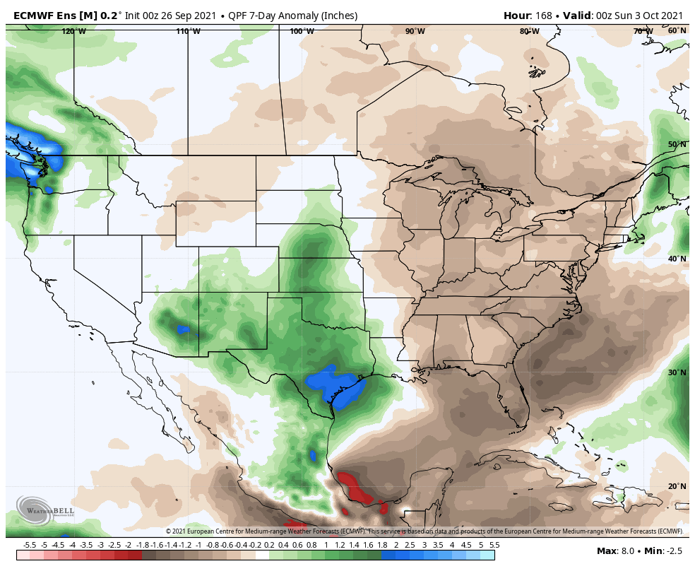
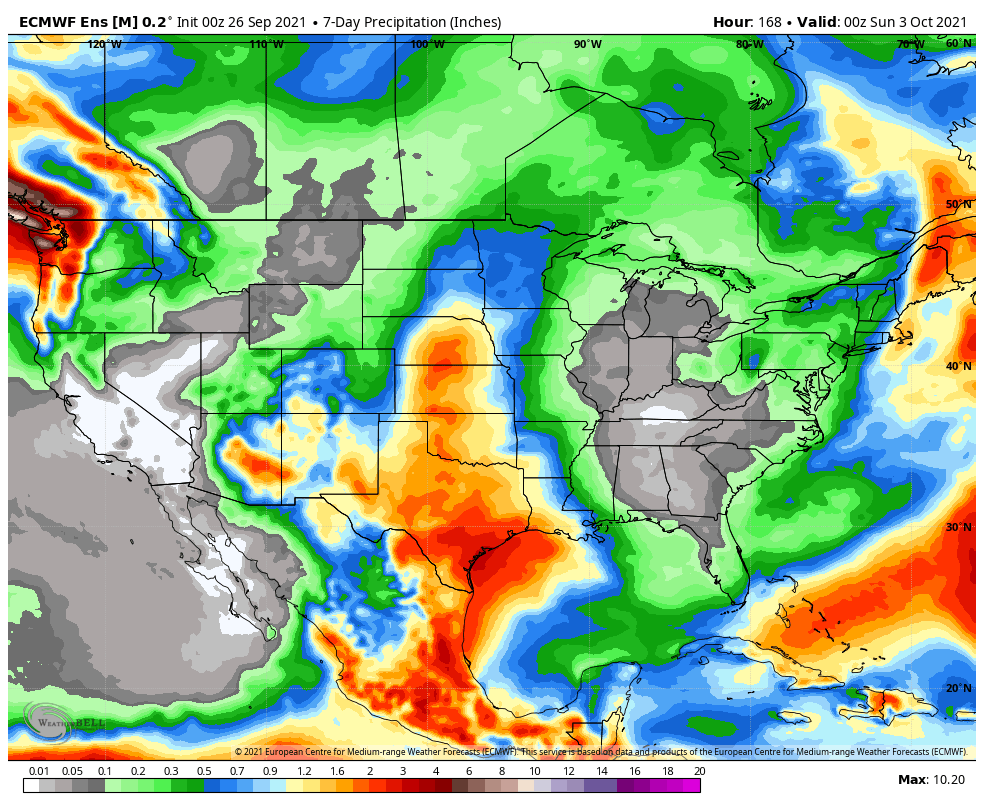
A very quiet weather pattern will dominate the 7-day forecast period. Plentiful sunshine and warmer temperatures can be expected through the early and middle part of the work week before we cool closer to normal late in the period. While there’s plenty of disagreement, the GFS is a little more bullish on bringing in a weak storm system late in the period that could* produce a few showers Friday. If this does, indeed, take shape, it only appears as if we’re looking at 0.10″ to 0.25″ type rainfall. We’ll keep an eye on things. Otherwise, it’s a dry and very uneventful stretch ahead over the upcoming 7 days.
Updated 09.19.21 @ 10:20a
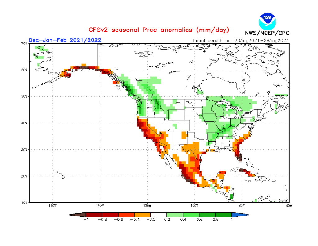
As the first strong autumn cold front takes aim on the region, it’s time to start thinking more about what lies ahead in the December-February time frame. This morning’s video dives in with some initial thoughts around just that. Is the CFSv2 seasonal precipitation projection an indication of the active winter storm track ahead? We think so…
Updated 09.01.21 @ 5:26p
You must be logged in to view this content. Click Here to become a member of IndyWX.com for full access. Already a member of IndyWx.com All-Access? Log-in here.