Weekend Rain Chatter…
Before we dig in further around our complex weekend setup, we’ll have our official August Outlook posted later this evening. All in all, we don’t have any changes to our early ideas, but will have the complete discussion posted a bit later today.
We have one more very pleasant and refreshing (by late-July standards) day dialed up before the pattern turns more hectic to close the work week and head into the weekend.
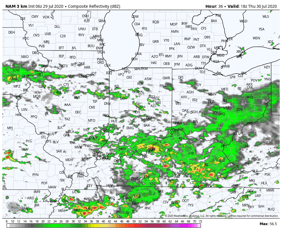
As we move into Thursday, a cold front will drift south into central Indiana. This will serve as the focal point for increased coverage of showers and thunderstorms, even as early as tomorrow morning, but more so during the afternoon and evening. We expect 50-60% coverage of rain on Thursday.
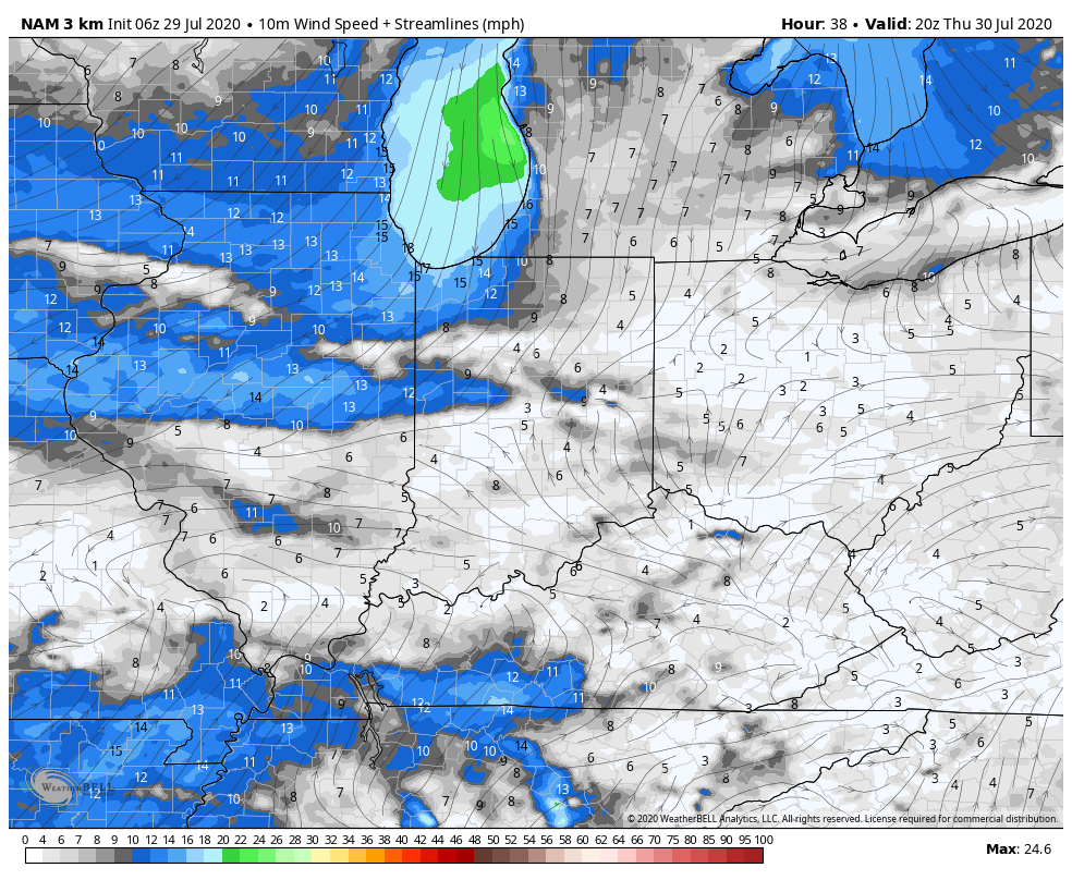
Note how the boundary sinks south Thursday night and Friday morning. This should result in drier conditions Friday as the north and northeasterly wind takes hold. As it is, we’ll forecast a partly to mostly cloudy sky Friday with most, if not all, of central Indiana remaining dry.
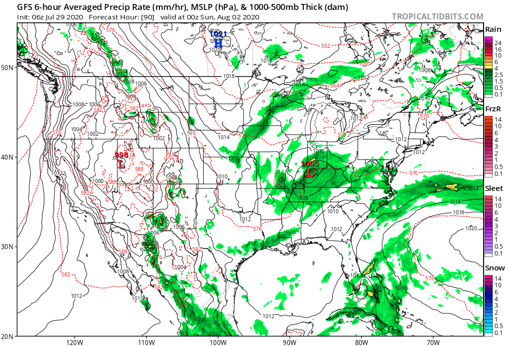
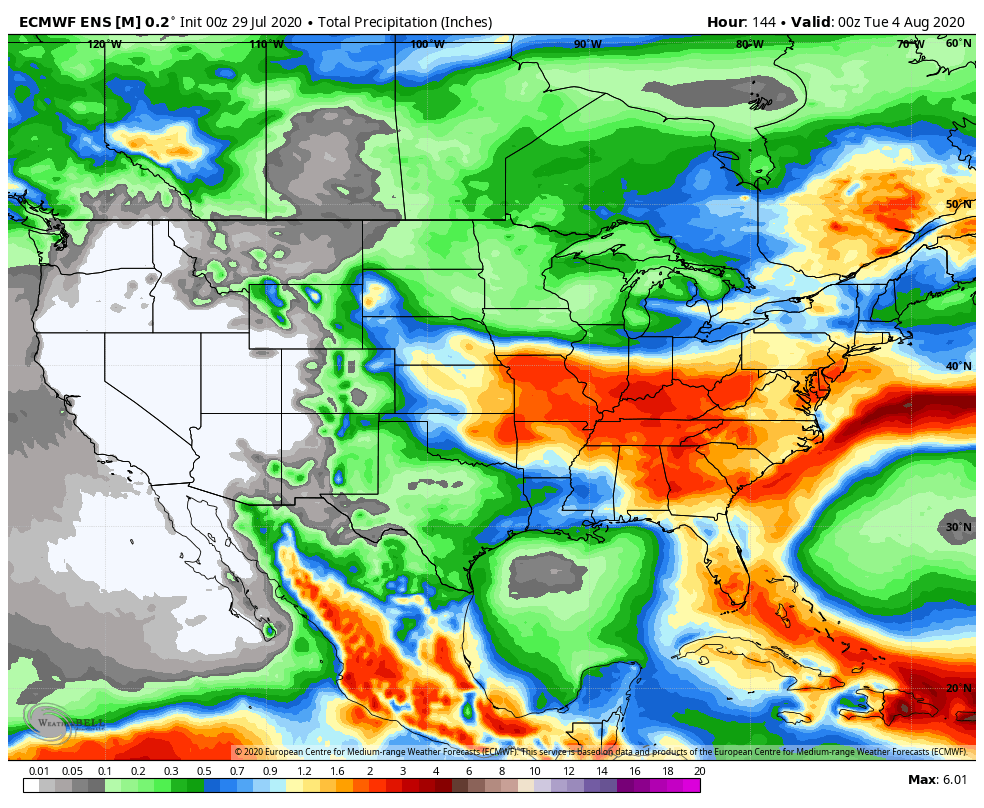
As all of this is taking shape, surface low pressure is expected to begin strengthening in northeast OK Friday morning. This area of low pressure will then ride the boundary east, northeast into the weekend. That’s where things begin to get a bit more tricky. Some of the data brings the front back north over the weekend (subsequently allowing this area of low pressure to track further north over IN). Other data keeps the low just to our south and east. Despite the disagreement amongst model data, we’ll remain consistent with our forecast of more widespread, more concentrated rain returning to central Indiana Saturday afternoon into Sunday. We still think this time period will produce between 1″ and 1.5″ of rain for most of the region.
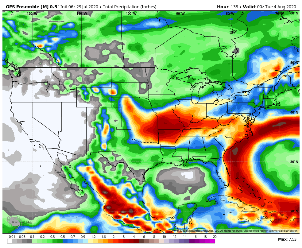
Showers and embedded thunder, along with unusually cool temperatures would continue into early parts of next week with this pattern.
Despite some of the differences within the operational guidance, the GFS and European ensemble mean, both suggest wet times are ahead for our area during the aforementioned period.
Make it a great Wednesday! More later!