VIDEO: Fall-Like Close To The Work Week Gives Way To An Unsettled Weekend; Reviewing Updated Data Into The Fall…

You must be logged in to view this content. Click Here to become a member of IndyWX.com for full access.  Already a member of IndyWx.com All-Access?  Log-in here.

Unseasonably Cool; Talking Rain Chances Into Early Next Week…

We’re enjoying unseasonably cool and refreshing air this morning (to the tune of 10-15 degrees below average across central Indiana). The extent of the refreshingly cool air is impressive- spanning all the way into northern TX and parts of OK this morning!

A gorgeous day is on tap with plentiful sunshine and low humidity. Unfortunately, rain still appears to return to the picture on Wednesday. Scattered showers will be most numerous Wednesday afternoon, continuing into Thursday morning. Rainfall should average between 0.10″ to 0.25″ for most central Indiana rain gauges with a few heavier totals across eastern areas.

The cold front and upper level energy associated for delivering the Wednesday rain will swing through here early Thursday, resulting in a gusty northwesterly wind and fall-like air through the day. Highs will only top out in the mid-upper 60s and lows Friday morning will fall into the upper 40s.

High pressure will remain in control of our weather to close the work week, but as we’ve grown all too accustomed to over the past couple of months, we don’t expect prolonged dry time. Instead, our weather will turn unsettled yet again over the weekend into early next week. With a moist southwesterly air flow returning, periods of locally heavy rain can be expected in this setup.

Cool Now, But What About Late-June?

Unseasonably cool, almost fall-like, weather will dominate our area this week, but what awaits as we move into the latter part of June?

We continue to see a highly amplified MJO and it’s forecast to swing into Phases 4-5 in the coming weeks.

Neither of these phases argues for any sort of significant or long-lasting warmth anytime over the next few weeks across our immediate region.

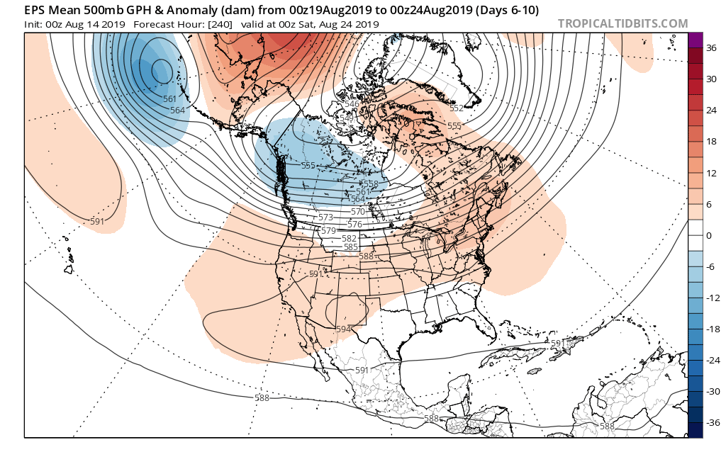
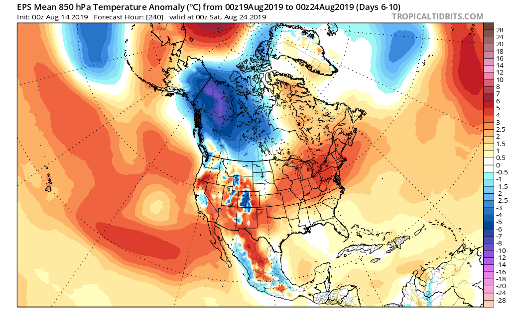
To no surprise, the latest long range data continues to indicate an overall seasonable to cooler than average theme to close out the month of June. The European ensemble agrees.

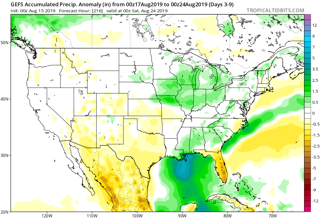
What about precipitation as we progress through the last couple weeks of the month? Phase 4 remains wet before things take on a drier theme during Phase 5. (It’s important to note though that if the MJO continues the overall high amplitude, unfortunately we would head into the wetter Phases 6-7 as we head towards the mid way point of summer).