VIDEO: Weak System Sunday; More Interesting Times Mid-Late Next Week…
You must be logged in to view this content. Click Here to become a member of IndyWX.com for full access. Already a member of IndyWx.com All-Access? Log-in here.
You must be logged in to view this content. Click Here to become a member of IndyWX.com for full access. Already a member of IndyWx.com All-Access? Log-in here.
You must be logged in to view this content. Click Here to become a member of IndyWX.com for full access. Already a member of IndyWx.com All-Access? Log-in here.
Indianapolis is running a whopping 11.7° below average through the 1st (13) days of the month. We’ve broken records for cold and snow so far, including Monday’s snow at 2.8″, record lows (8° on Tuesday and 9° low on Wednesday, and record low maximums (21° high on Tuesday).
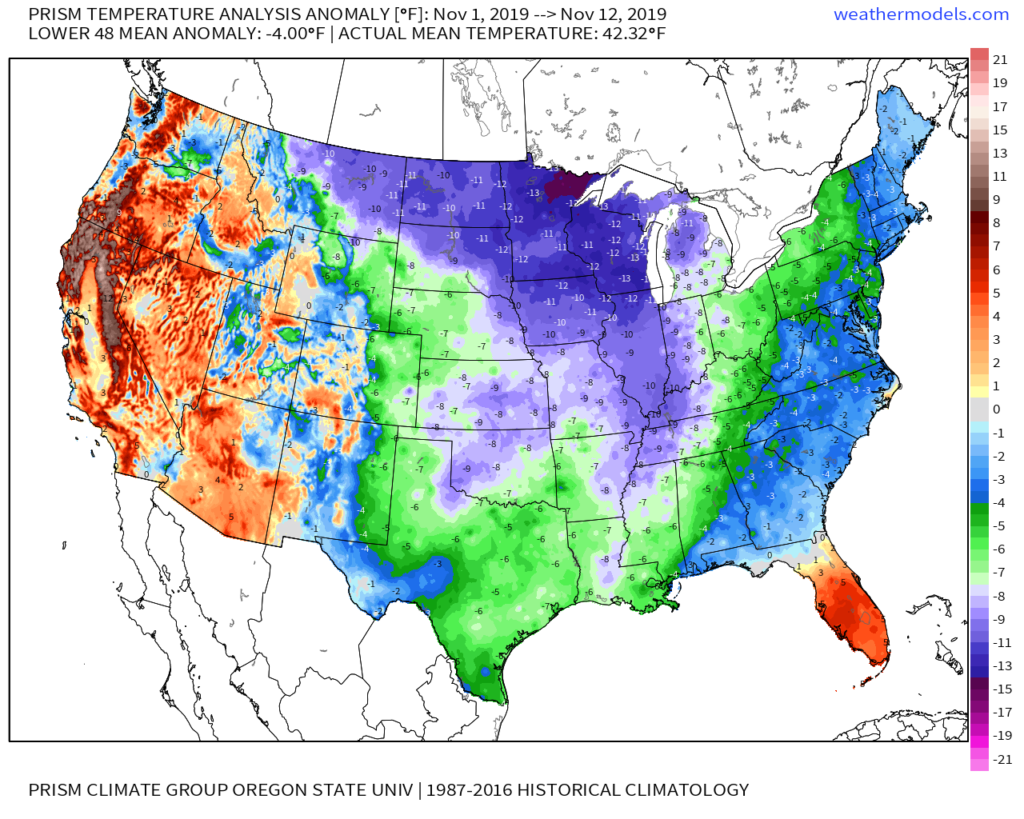
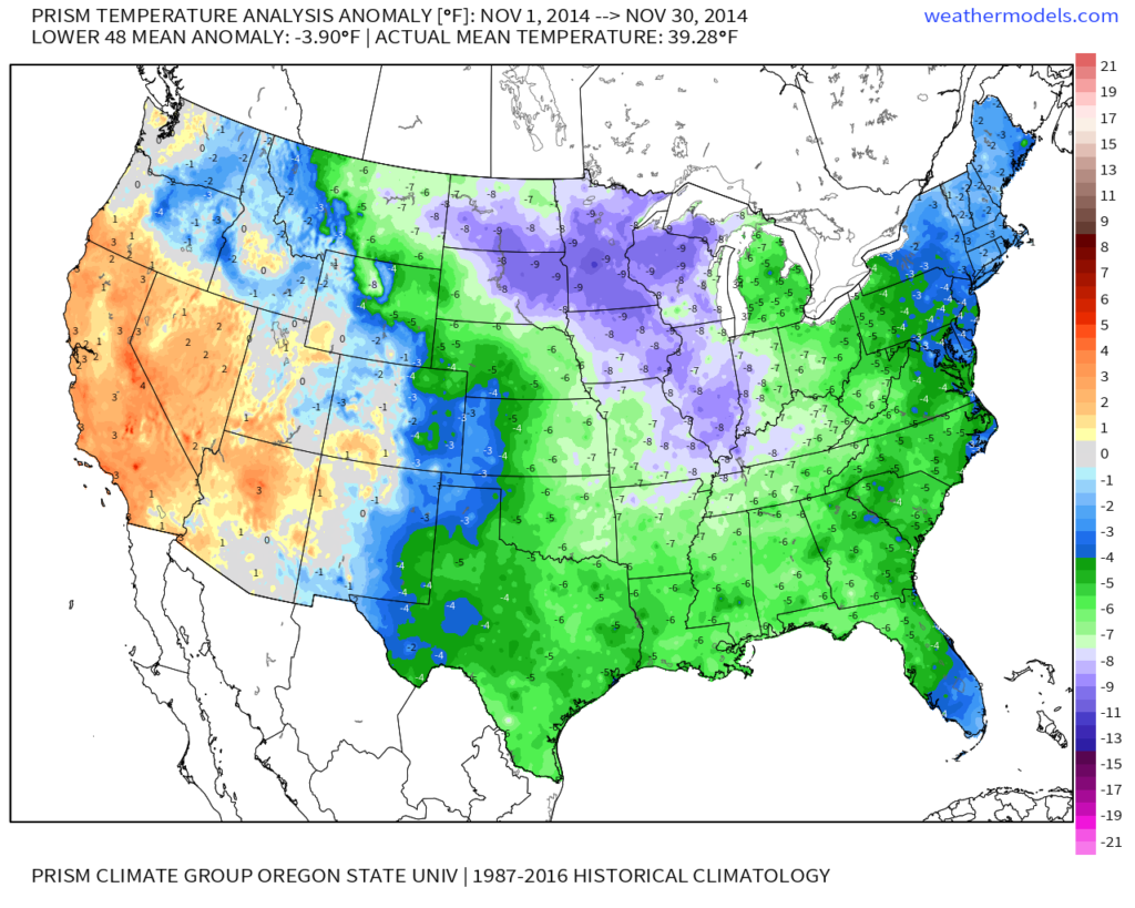
Shades of November ’14 come to mind with the way this month has started:
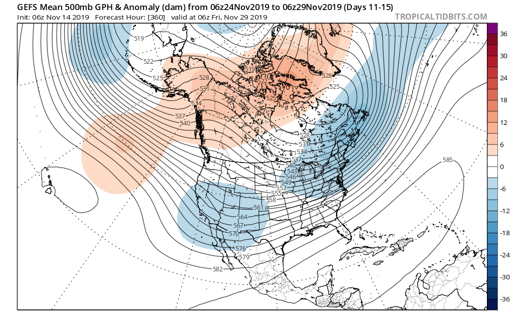
As we look ahead, temperatures are expected to remain below, to significantly below, average through the 2nd half of the month overall.
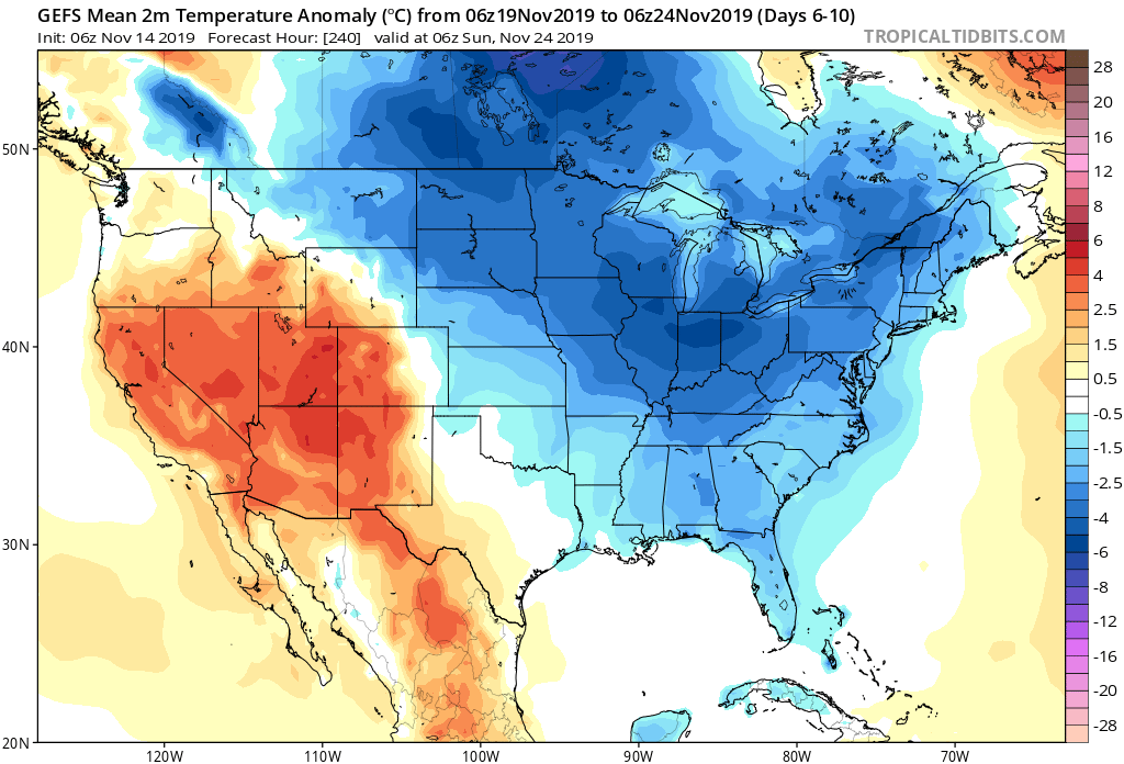
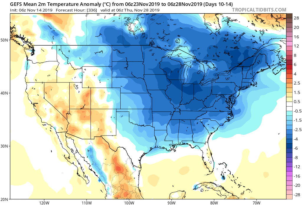
From a storm standpoint, we’re only expecting a couple of fairly weak systems over the upcoming week. A disturbance will scoot across central Indiana Sunday with a few light showers and again Tuesday. Neither is expected to provide significant moisture.
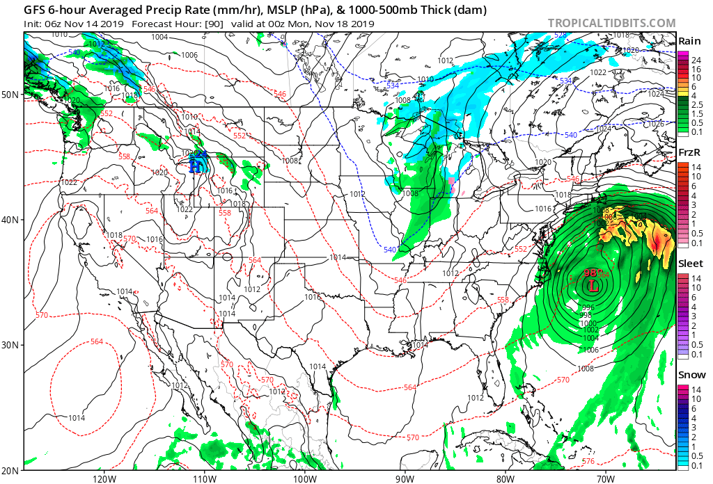
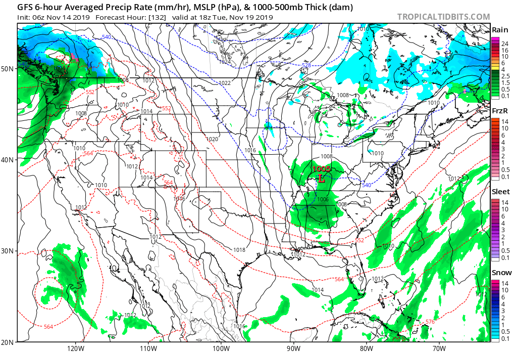
Things begin to potentially turn a little more “exciting” as we grow closer to Thanksgiving. The forecast upper air pattern is one that has “mischief” written all over it and will likely require more attention as time draws closer. More on this and some updated data (including the European and JMA Weeklies) later this evening with our long range video update.
You must be logged in to view this content. Click Here to become a member of IndyWX.com for full access. Already a member of IndyWx.com All-Access? Log-in here.
You must be logged in to view this content. Click Here to become a member of IndyWX.com for full access. Already a member of IndyWx.com All-Access? Log-in here.