Weekly #AGwx And #Severe Weather Outlook…

I. Recent wet pattern remains intact.

II. Persistent hot, muggy regime takes us into the holiday weekend.

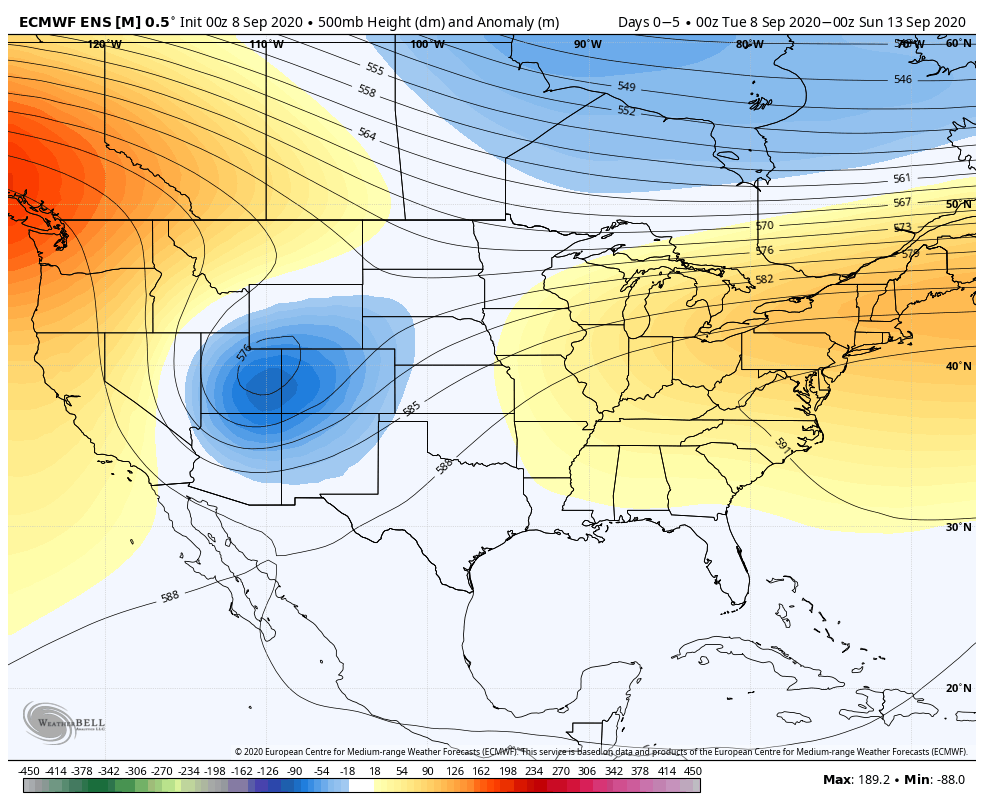
Temperatures will run above to well-above normal from the Plains into the Great Lakes and Northeast this week. The Rockies and points west can expect unusually chilly conditions.
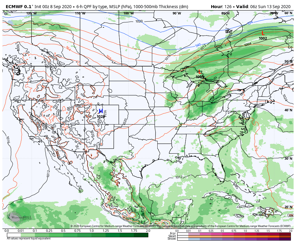
Wetter than normal conditions are expected across the southwestern OH Valley into the TN Valley this week, along with the northern Rockies and New England.
We forecast 7-day rainfall totals for central IN to fall within the 1.75″ to 2.50″ range with locally heavier amounts.
In this pattern it won’t take much to have one or two storms pulse to severe levels, but widespread severe storms aren’t expected, locally. The biggest concern from any stronger storm that does form will be centered around damaging straight line winds.

Forecast Period: 06.28.20 through 07.05.20

A stationary frontal boundary will remain draped across the region until Tuesday night before getting a slight “nudge” off to the southwest Wednesday. The warm and humid pattern in place today will remain locked into the area straight through the holiday weekend (with a small break in humidity midweek). Periods of hefty thunderstorms can be expected- most numerous during the afternoon and evening hours. With such high moisture content in the air, locally heavy rainfall is expected at times. This “rinse and repeat” forecast will begin to change up by the holiday weekend as ridging builds overhead. While this won’t help us with the heat or humidity, this will reduce rain chances. Instead of scattered to numerous coverage, we’ll be talking about isolated coverage for the holiday weekend, itself. Most will stay dry. By this time frame, we’ll monitor the goings on to our south as a cut off low keeps the TN Valley into the Southeast region unsettled with more widespread storm coverage for the holiday weekend.

Soupy Airmass Returns; Looking Ahead To Independence Day…

It’s still pleasant this morning across central Indiana, but that will begin to change by afternoon as heat and humidity increase in rather significant fashion. This tropical airmass will remain intact into early parts of the week and will help fuel hefty storms at times. The culprit? A warm front will lift northeast through the state over the next 12-24 hours, allowing a moist southwesterly flow to take control. A cold front will approach northern portions of the Ohio Valley tonight and Saturday before stalling out. This front will serve as a focal point for strong to severe storms mostly north of Indianapolis tonight. Eventually this front will slowly sink south before potentially even clearing the area, which would allow slightly cooler and much less humid air into central Indiana by midweek.

As we time out rain and storm chances, the first opportunity of scattered showers and storms will arrive late morning into this afternoon as the warm front begins to lift north. These will be of the “splash and dash” variety, but will be capable of brief heavy rain.

More widespread storms, including the possibility of a few strong-severe cells (damaging wind being of greatest concern) will target northern IN tonight- closer to the cold front.

These northern IN overnight storms should diminish before making it into Indianapolis.

With a warm and soupy airmass locked into place along with a trigger mechanism nearby with our frontal system, it’s a safe bet to expect scattered to numerous storms through the weekend and into Monday. During this time, overall coverage of storms should be greatest during the afternoon and evening, but even nighttime storms are possible. With precipitable water values approaching 2″ at times, any shower or storm will be capable of producing torrential rainfall in a short period of time.

As we move into early week, the front will get shoved southwest and drier air will try and intrude from the northeast. This may serve as a focus point for more widespread storms across central and western parts of the state early week. Eventually that drier air will win out across the entire area and should lead to a more pleasant feel along with eliminating rain chances by Wednesday into Thursday. Before we get to that point, widespread rainfall totals of 1.5″ to 2″ can be expected between now and Tuesday afternoon with locally heavier totals.

Drier air should arrive for midweek as a “backdoor” cold front presses southwest.

Looking Ahead: Things still look quite toasty around these parts for the Independence Day weekend, itself, as an expanding ridge builds overhead. Additionally, that same front that will be off to our west midweek will likely move back northeast by next weekend and help fuel a smattering of t-storm coverage during the afternoon and evening hours. Our call for the Independence Day weekend at this point is for hot, humid conditions (highs in the lower 90s and lows in the lower to middle 70s) and plenty of dry time with widely scattered afternoon/ evening storm potential. These shouldn’t last terribly long for any one area.

VIDEO: Long Range Update Through The Remainder Of Summer And Early Hint At Fall…

You must be logged in to view this content. Click Here to become a member of IndyWX.com for full access.  Already a member of IndyWx.com All-Access?  Log-in here.