You must be logged in to view this content. Click Here to become a member of IndyWX.com for full access. Already a member of IndyWx.com All-Access? Log-in here.
Category: Client
Permanent link to this article: https://indywx.com/sunday-evening-video-update-heavy-rain-strong-storms-expected-for-southern-in-tonight/
Mar 24
Heavy Rain, Couple Strong Storms Possible Across Southern IN Tonight…
Scattered showers will spread across central Indiana at times through the day. Most of this rain will be light in nature through the afternoon hours, but a couple of moderate showers are also possible.
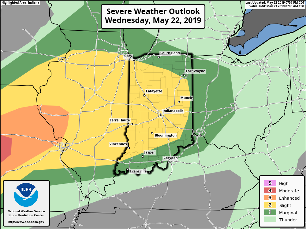
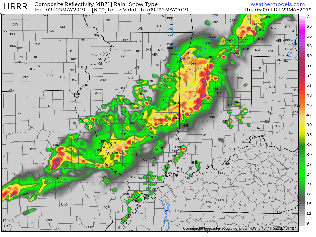
A surface low will track east across the lower Ohio Valley tonight and this will result in more concentrated heavy rain falling across the southern portion of the state this evening into early Monday morning. This is a bit further south than model guidance suggested yesterday. Additionally, a couple of strong thunderstorms are also possible tonight across far southern Indiana.
It wouldn’t surprise us to see the Storm Prediction Center (SPC) include portions of southern Indiana in a ‘Marginal’ or ‘Slight’ risk of severe weather tonight with future updates.
With the more southern track now expected from this storm system, the corridor of .50″ to 1″ rainfall totals will settle across the southern portions of Indiana, with 0.10″ to 0.25″ expected for central Indiana on average.
Rain will come to an end for all of the state by mid to late morning Monday with dry conditions returning Monday evening into the middle of the week, thanks to high pressure.
Dry and pleasant conditions will remain in place through the daytime hours Thursday before a storm system approaches Thursday night into Friday. The gusty southwesterly air flow in advance of this storm will help pull warmer conditions northeast into the Ohio Valley. Highs between 65-70 are on tap by Thursday afternoon. Unsettled weather is anticipated to remain through next weekend along with progressively colder conditions.
Permanent link to this article: https://indywx.com/heavy-rain-couple-strong-storms-possible-across-southern-in-tonight/
Mar 23
Spring Flood Outlook…
It’s been since 2013 since the Lower 48 has seen greater snow cover on the 23rd of March.
Officially, 25.4% of the Lower 48 is currently snow covered, including crucial areas that feed downstream rivers in the north-central Plains and upper Midwest.
NOAA released their Spring Flood Outlook Friday. This shows major to moderate flooding expected on area rivers from the northern Plains south along the MS River. Even moderate to minor river flooding is anticipated across the east, including the Ohio Valley.
The full report can be found here.
As we move into April, a ridge is expected to back west and result in an active storm track from the west into the Mid West and Great Lakes. The end result will be a favorable pattern for above average precipitation. Factor that in with the above average late season snowpack currently in place across the exact same region, and the stage is set for moderate to significant river flooding through the remainder of the spring.
More specific to central Indiana, we also expect an active spring storm track- including precipitation that is around “average” from the March through May (meteorological spring) period. As warmth expands as we move into mid-April, expect an uptick in severe weather episodes further north during the 2nd half of April into May.
Permanent link to this article: https://indywx.com/spring-flood-outlook/
Mar 23
Gorgeous Saturday; Active Pattern Awaits…
You must be logged in to view this content. Click Here to become a member of IndyWX.com for full access. Already a member of IndyWx.com All-Access? Log-in here.
Permanent link to this article: https://indywx.com/gorgeous-saturday-active-pattern-awaits/
Mar 22
Timing Arrival Of Our Late Month Storm Systems…
A beautiful open to the weekend awaits and while we’re currently enjoying calmer times, we wanted to go ahead and time out the arrival of storm systems as we move through next week and the end of March.
Sunday, 3.24.19 into Monday, 3.25.19
Clouds will increase Saturday night and precipitation will follow Sunday in the form of light rain that will continue into Monday. As colder air presses south, rain may mix with or change to light snow across northern areas before ending, but this doesn’t appear to be a major deal (more of a nuisance than anything else). Rainfall totals around half an inch on average can be expected with this system before drier air arrives (and sunshine) Tuesday.
Thursday, 3.28.19 into Saturday, 3.30.19
After a drier stretch of weather the middle of next week, rain will return Thursday evening into early next weekend. There are differences with the way models handle the frontal passage next weekend (couple of solutions stall the front to our south and bring another wave of moisture up along the boundary that would potentially lead to renewed wet conditions next Sunday into next Monday). The early call here is that this system will have more moisture to work with than it’s predecessor.
Yet another storm system will approach the middle parts of Week 2.
Current projected rainfall totals off of the latest GFS forecast model look decent from this distance over the upcoming (10) days.
Permanent link to this article: https://indywx.com/timing-arrival-of-our-late-month-storm-systems/