Long Range Update: Does The Active Pattern Hold Into Early January?
The MJO is set to remain in the “null” phase through the end of the year.
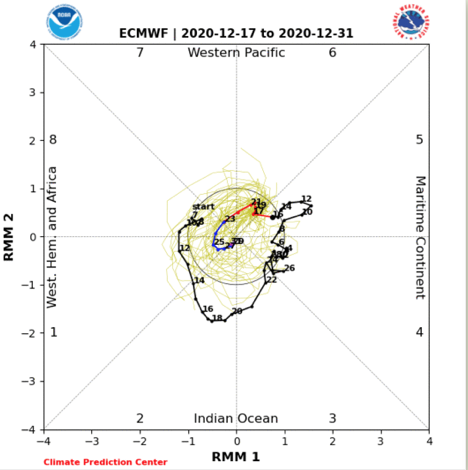
This means we’ll continue to lean on the teleconnections to drive the pattern over the next few weeks.
For the most part, these teleconnection signals remain clustered in a manner that favors a predominantly chilly pattern to close out the year. (Not to say we won’t have a day or two thrown in with milder southwesterly winds).
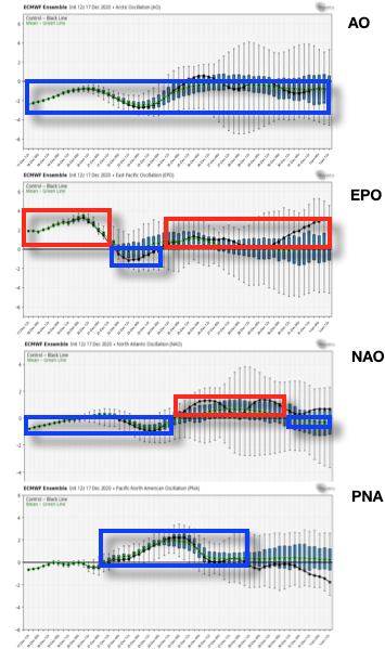
The period where there’s greatest alignment for cold is centered on Christmas. Not surprisingly, we have an arctic blast dialed up for the big holiday (including highs that might not make it out of the 10s). Thereafter (from top to bottom), the AO remains negative, the EPO trends back to neutral to positive, the NAO trends neutral before heading back slightly negative, and the PNA goes back neutral.
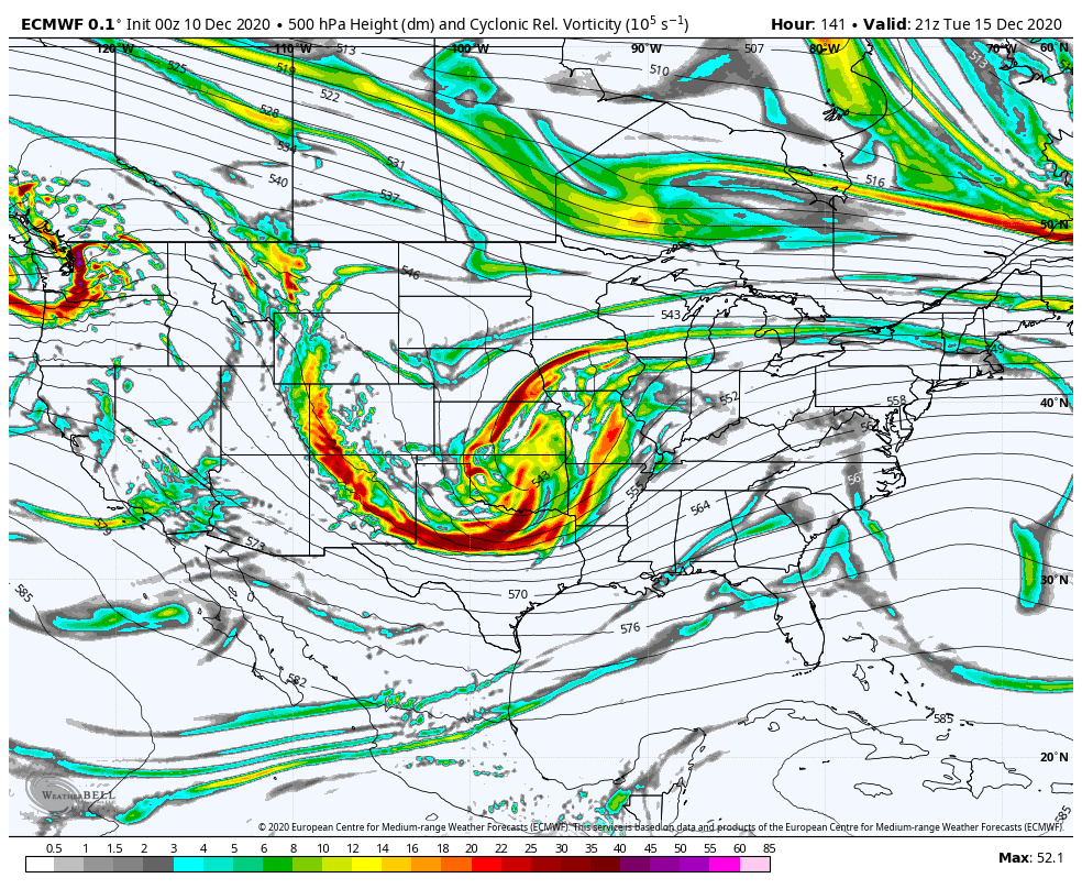
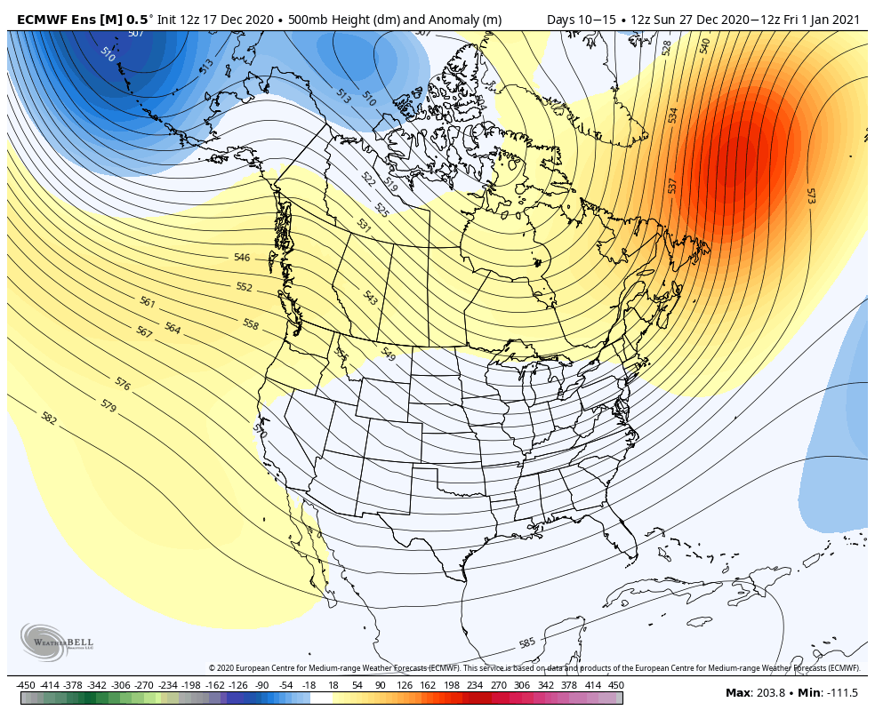
Note the buckling of the jet and associated arctic air intrusion for Christmas.

With the negative AO and trending negative NAO, I’d look for another attempt of an eastern trough just prior or around the New Year.
While our short-term products will focus more on the Christmas storm, the current idea is for more of a progressive system (rain to snow with minimal accumulation Christmas Eve) preceding the arctic blast. We still expect wind chills to fall below zero Christmas morning.
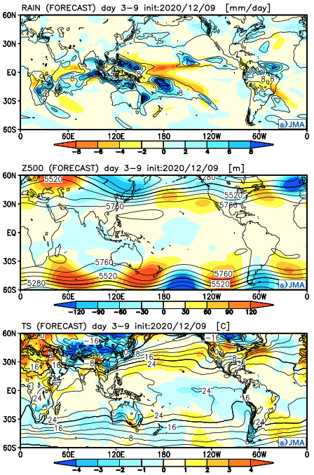
Note the ensemble data continues to show a reflection of a trough across our neck of the woods as we close the year and open up 2021. One also has to like the positives over Canada (at least if you’re a fan of being on the playing field for the possibility of additional wintry events during this time). I’m also intrigued by the north Atlantic ridge as that can lead to eastern storminess and an overall “chaotic” pattern.
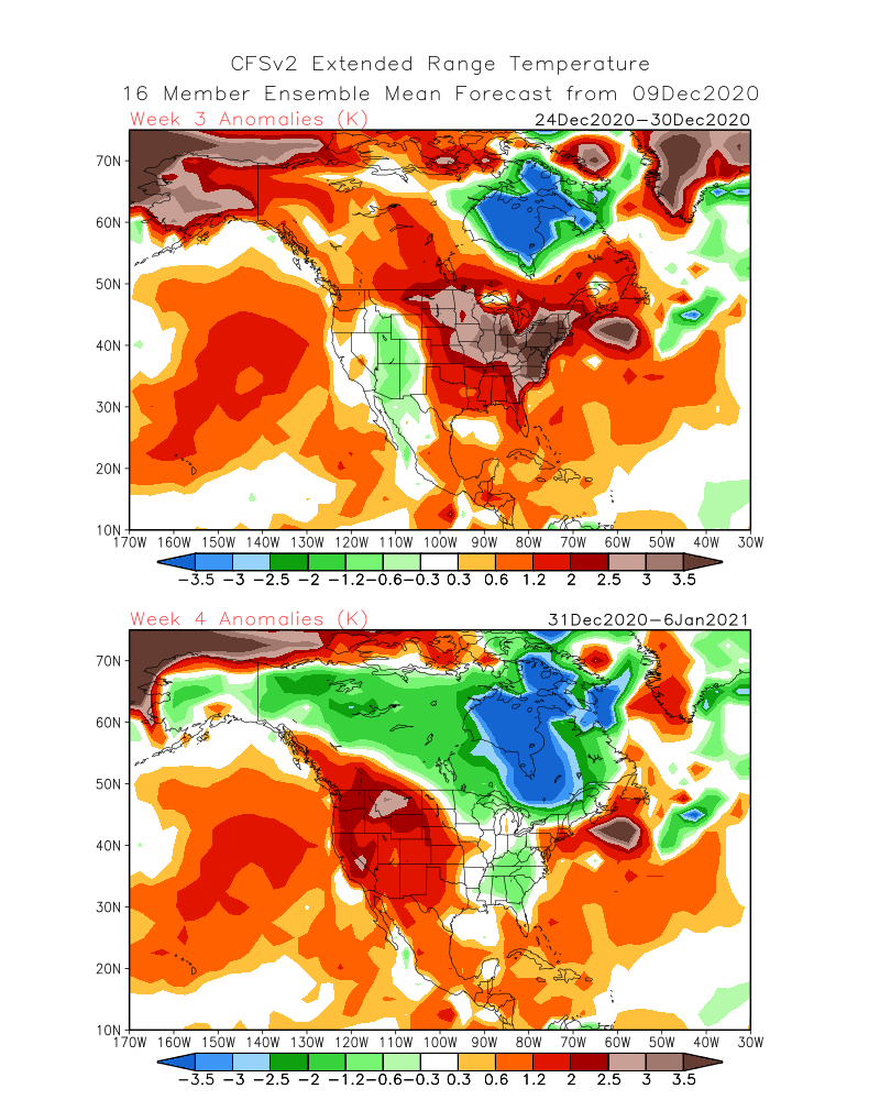
Further ahead, our updated Weekly products are bullish on warmth (relative to average) to open up January.

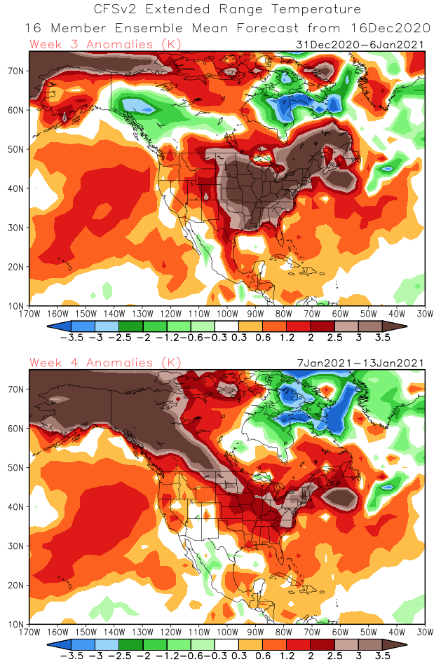
I would caution buying into the “torch” forecast off the long range data above. This is for a couple of reasons: the teleconnection phases and expected neutral MJO. Furthermore, what’s more likely here is that the modeling is either jumping on the warmth in Canada and “overwhelming” the Lower 48 with the warmth, or is way too warm in Canada. It’ll be mighty hard to pull off widespread warmth across the Lower 48 and Canada through the first couple weeks of the new year. The pattern should also continue to offer up a fairly active storm track to open up 2021.