Updated 08.26.21 @ 8:48a
Is there anything more polarizing than pumpkin spice products?! Count my house in favor of rolling these items out in late August. (I think my wife bought her first autumn candle of the year a few weeks ago and, rest assured, upon our return from the beautiful Gulf Coast, it will be lit almost immediately).
Despite the fact we’re in the hottest and most humid stretch of the summer (mind you, in a summer that really hasn’t been that bad from that from a heat perspective), we’re at a point where we’re shaving off nearly 2 and a half minutes of daylight per day.
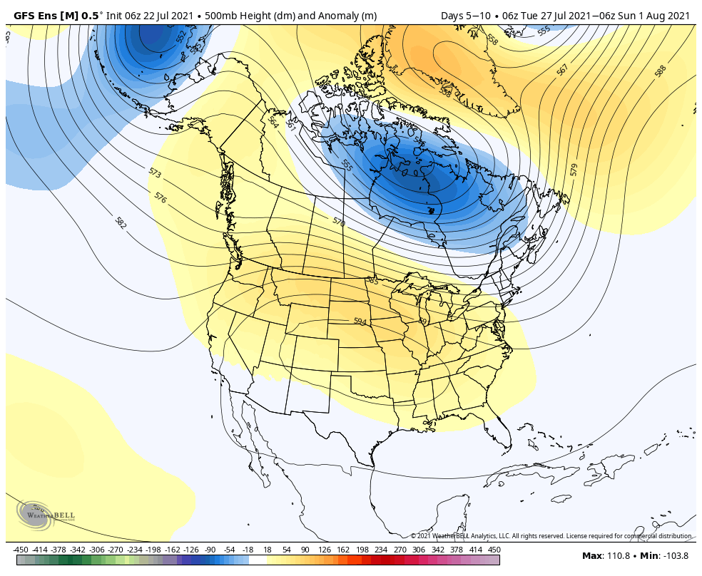
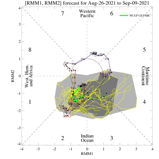
As we look at the upcoming 3-4 weeks, the primary drivers still appear to be the EPO and MJO movement. Pardon us if you’re tired of hearing this word, but it’s still the best, in our opinion, when describing the upcoming several weeks: “transient.”
Consider the more amplified look to the MJO:


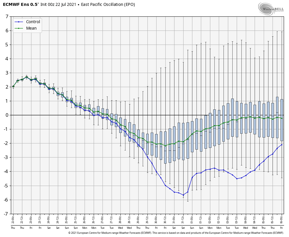
As well as the EPO:
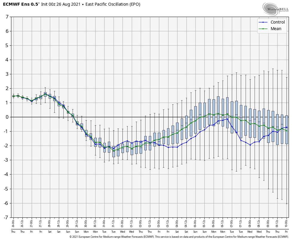
Thinking here is that the EPO and MJO will work in tandem to drive a very transient regime over the next 3-4 weeks. Perhaps the past few days have been a hint of what’s to come with more appreciable precipitation into the “heart” of central Indiana- an area that, for the most part, missed out over the latter half of July and first half of August. Officially, Indianapolis is now only 0.89″ in the hole.
Let’s take a look at some of the more trusted medium-long range computer model guidance:
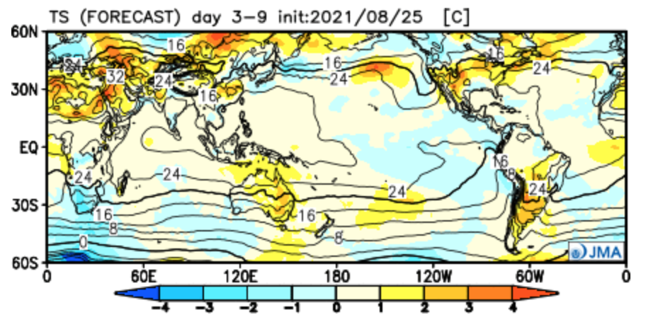
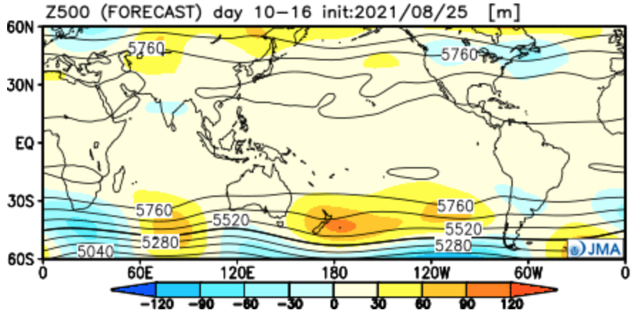
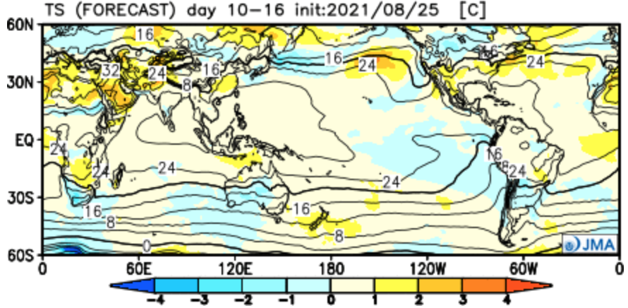
JMA Weeklies
Week 1
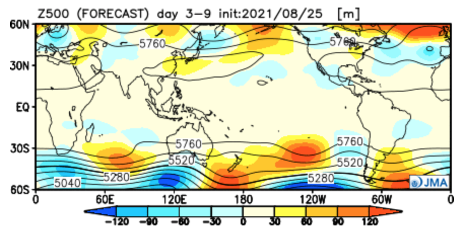
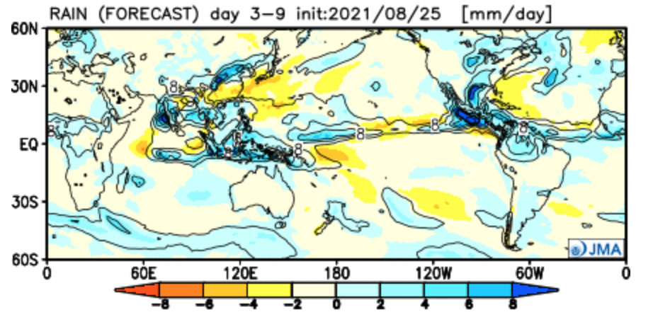
Week 2

Weeks 3-4


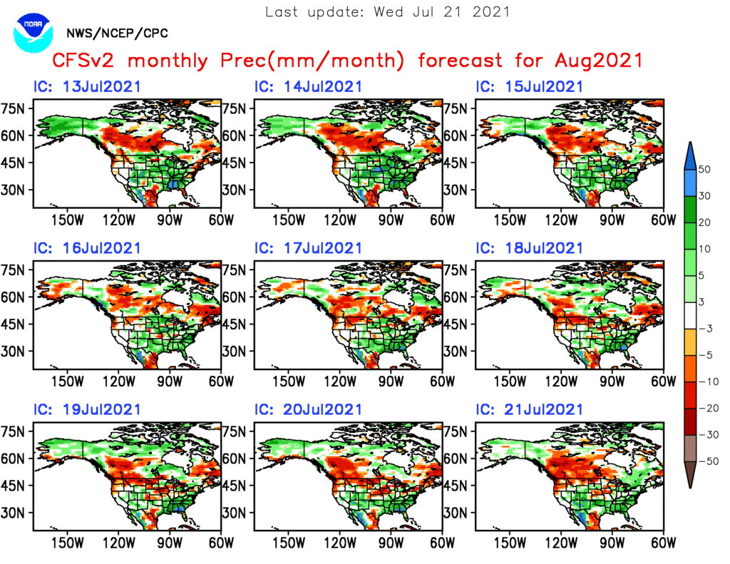
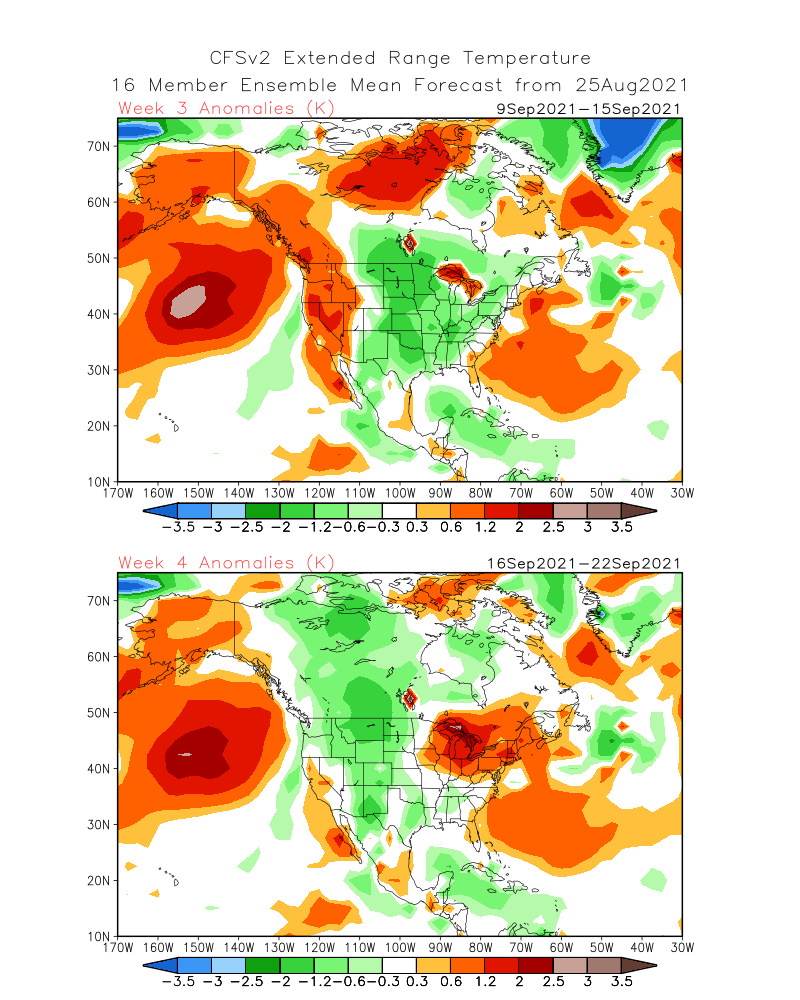
CFSv2
Weeks 1-2


Weeks 3-4

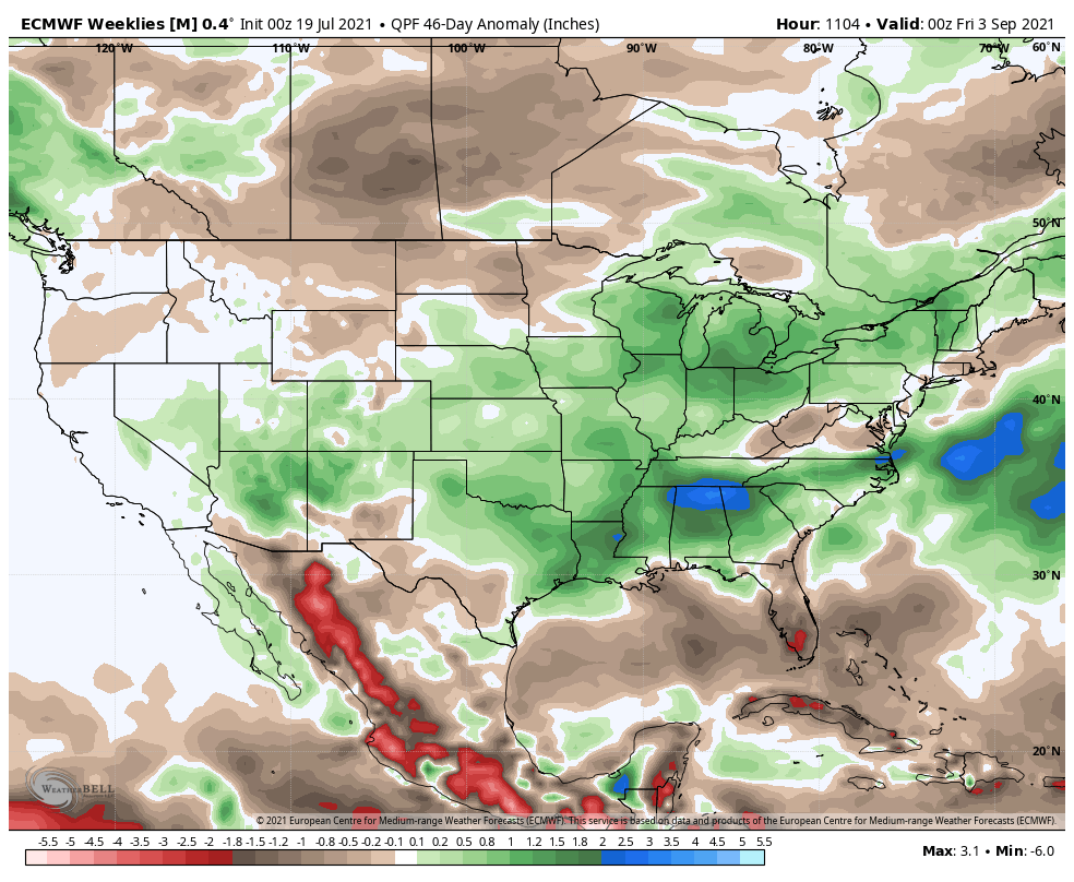
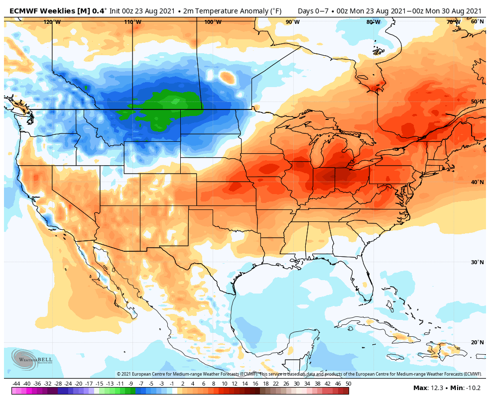
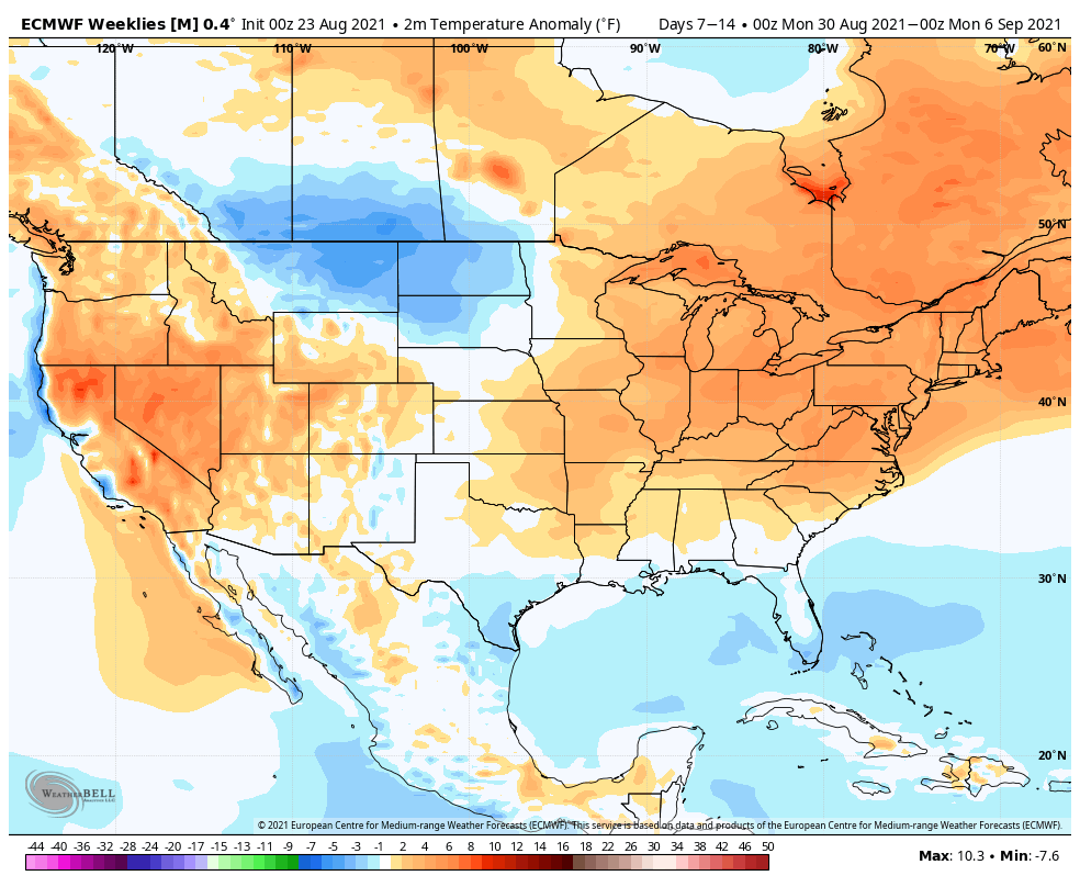
European Weeklies
Week 1

Week 2


Week 3


Week 4


The largest takeaway between the drivers (MJO and EPO) and computer guidance above is that we will inject a wetter regime back into the mix over the upcoming 2-4 weeks (especially compared to the past 4 weeks). While we’ll likely cool somewhat in early September, the pattern, as a whole, looks warmer than normal over the upcoming 2 to 4 weeks, locally. The opposite can be said for the northern Rockies as early winter conditions will make their presence felt during this period. It’ll be particularly interesting to see if the JMA is correct in driving that strong western trough in the Weeks 3-4 time period. Should that come to fruition, it would likely pump unseasonably hot conditions across the East during that time frame, but, eventually, a piece of that trough may shift east late month and set up a cooler regime to end September.
Regardless, be sure to enjoy that PSL… 🙂